 Jim, Dave and Tom's Trip out West Aug. 28 - Sept. 14, 2016Jim, Dave and Tom's Trip out West Aug. 28 - Sept. 14, 2016
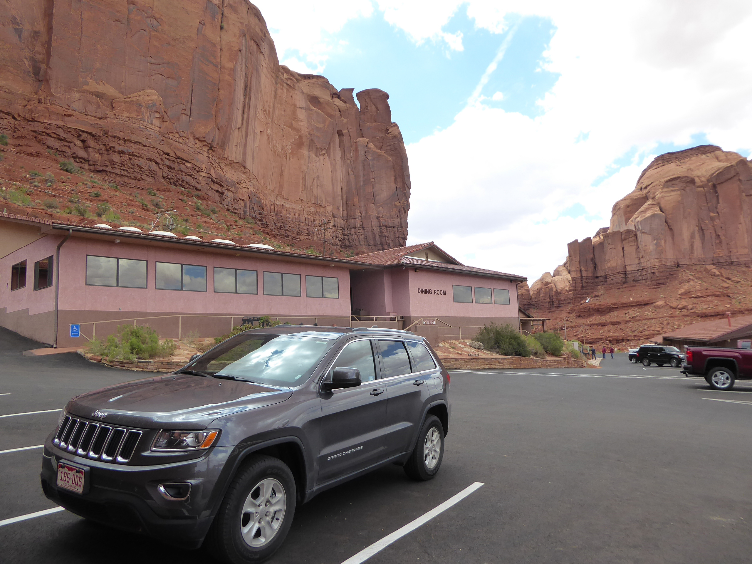
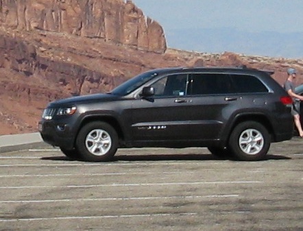 Our Jeep Grand Cherokee |
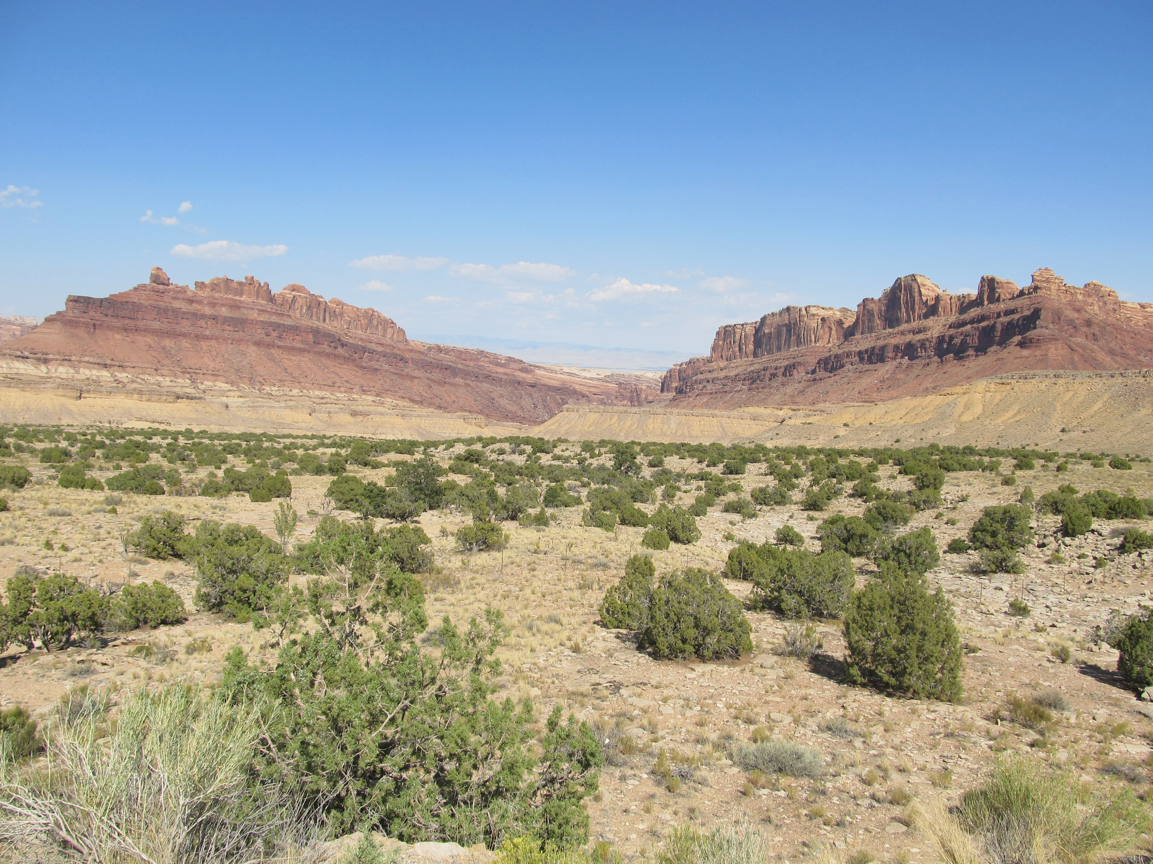 Black Dragon Canyon |
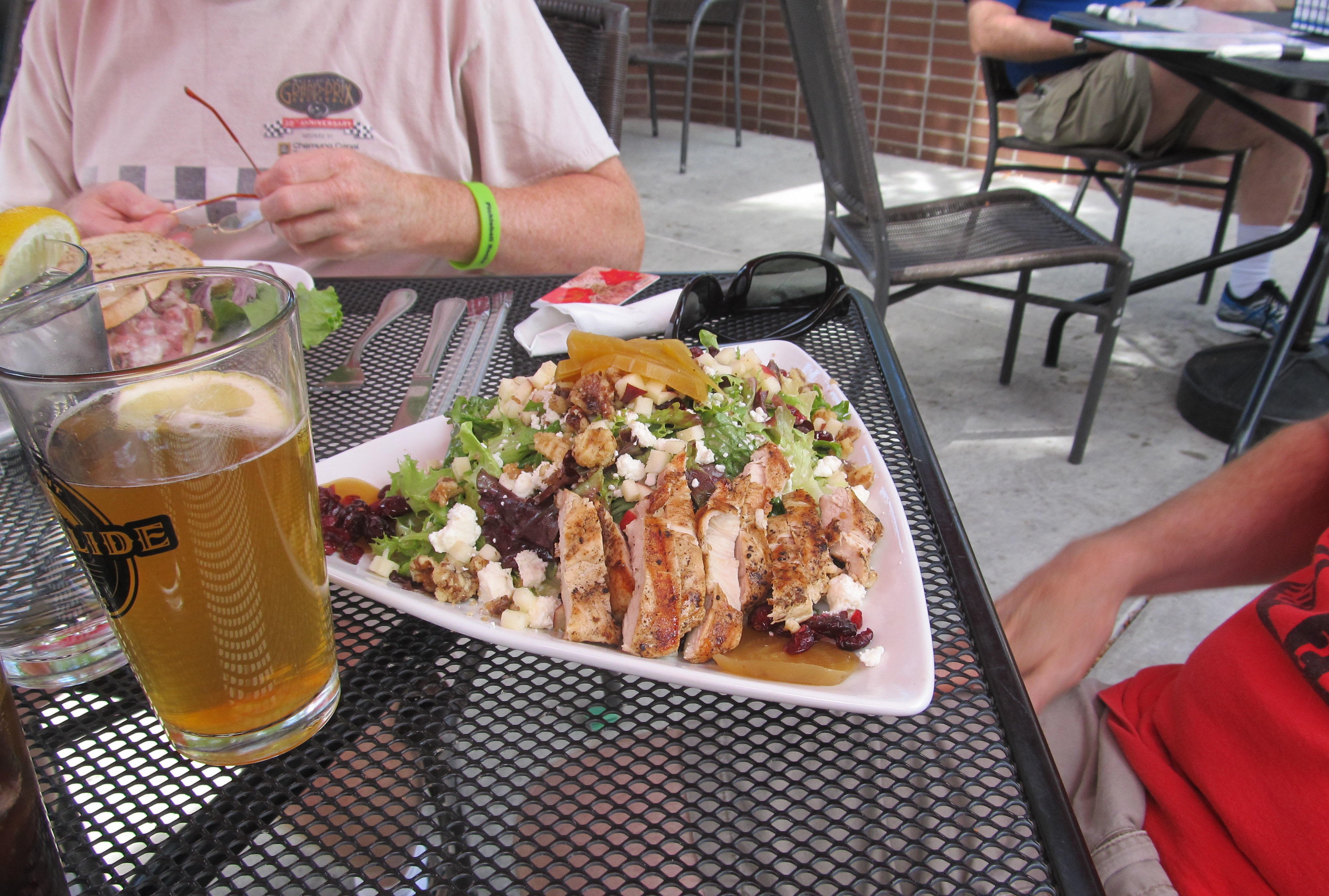 Tom's chicken salad at Rockside Brewery |
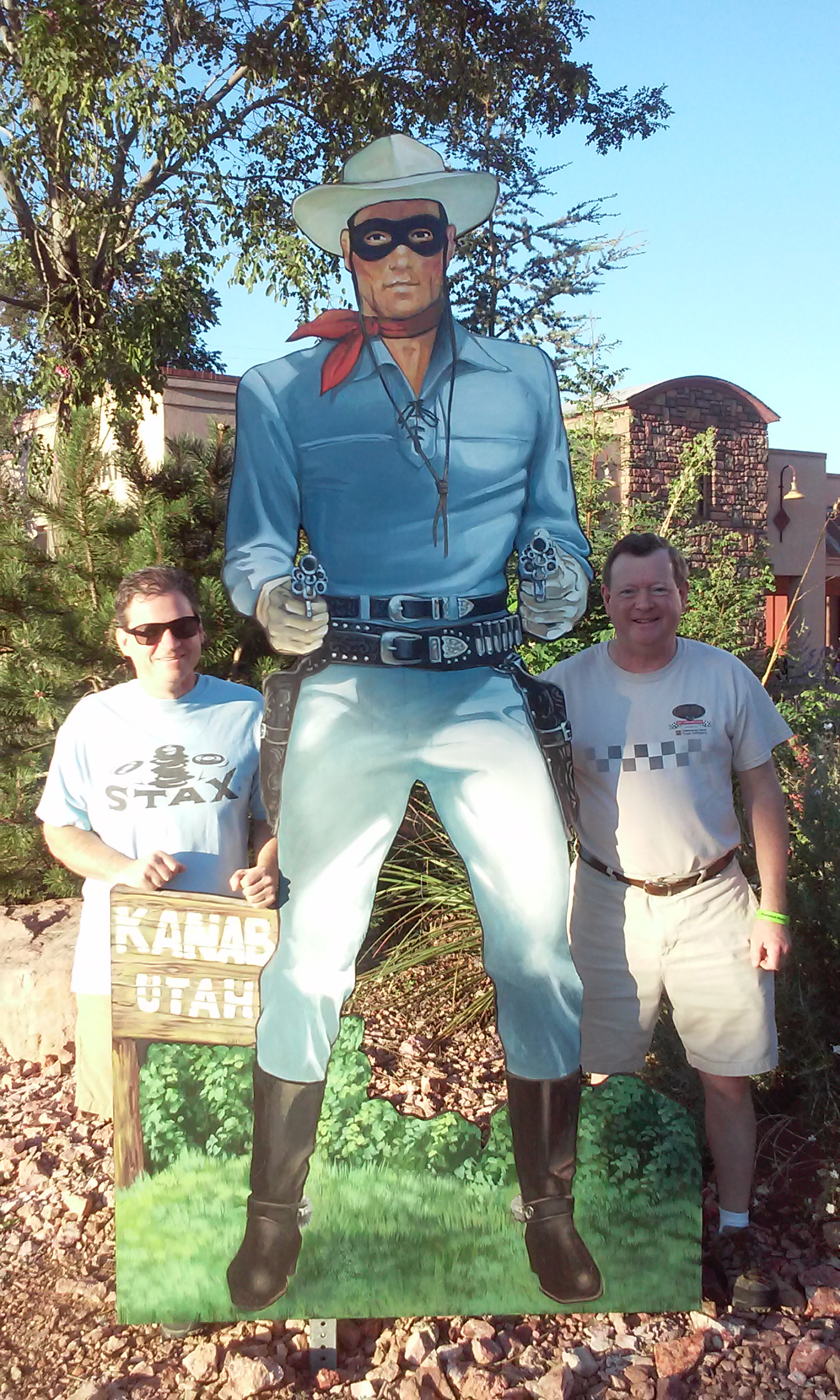 Tom & Dave with the Lone Ranger. |
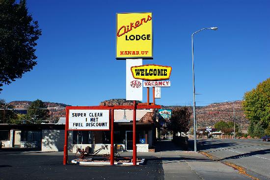 Aiken's Lodge in Kanab, Utah |
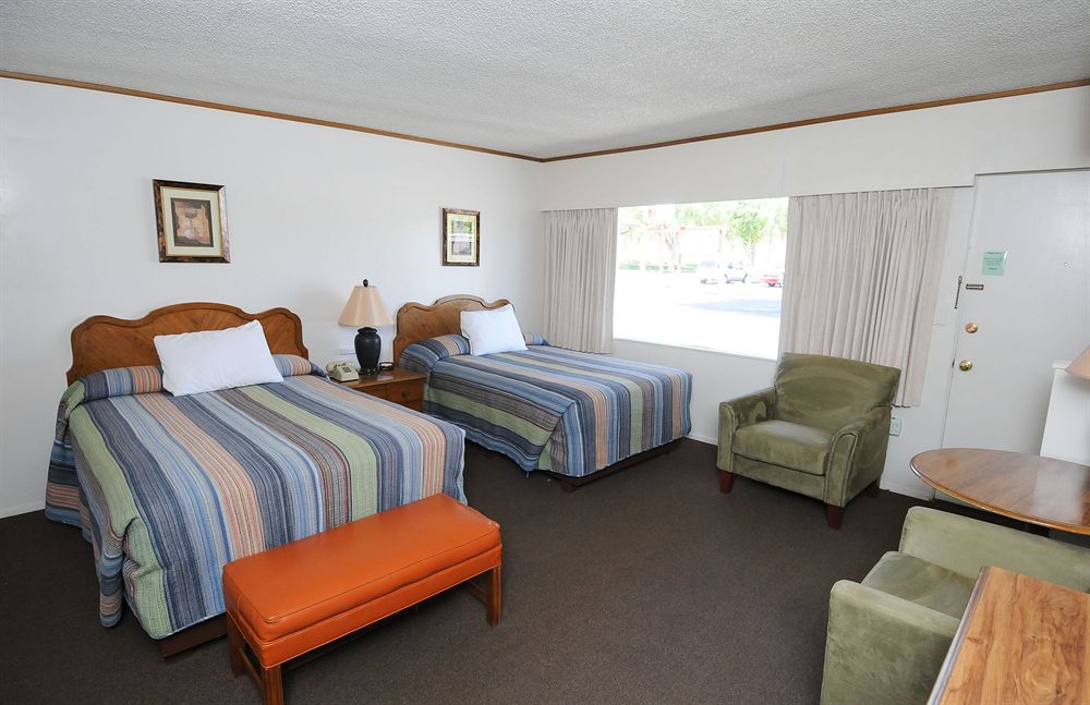 Aiken's Lodge in Kanab, Utah |
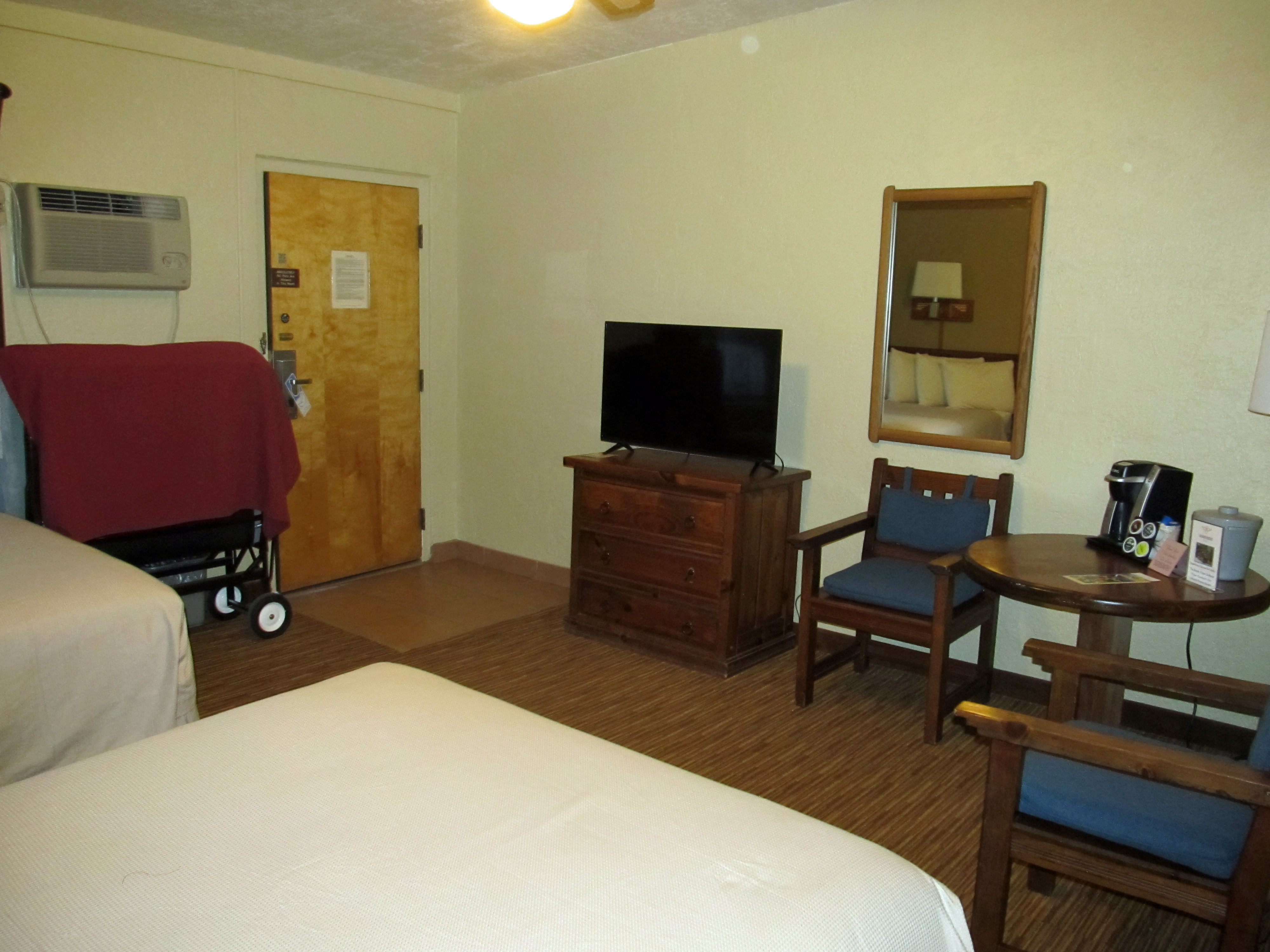
 Houston's Trails's End in Kanab, Utah |
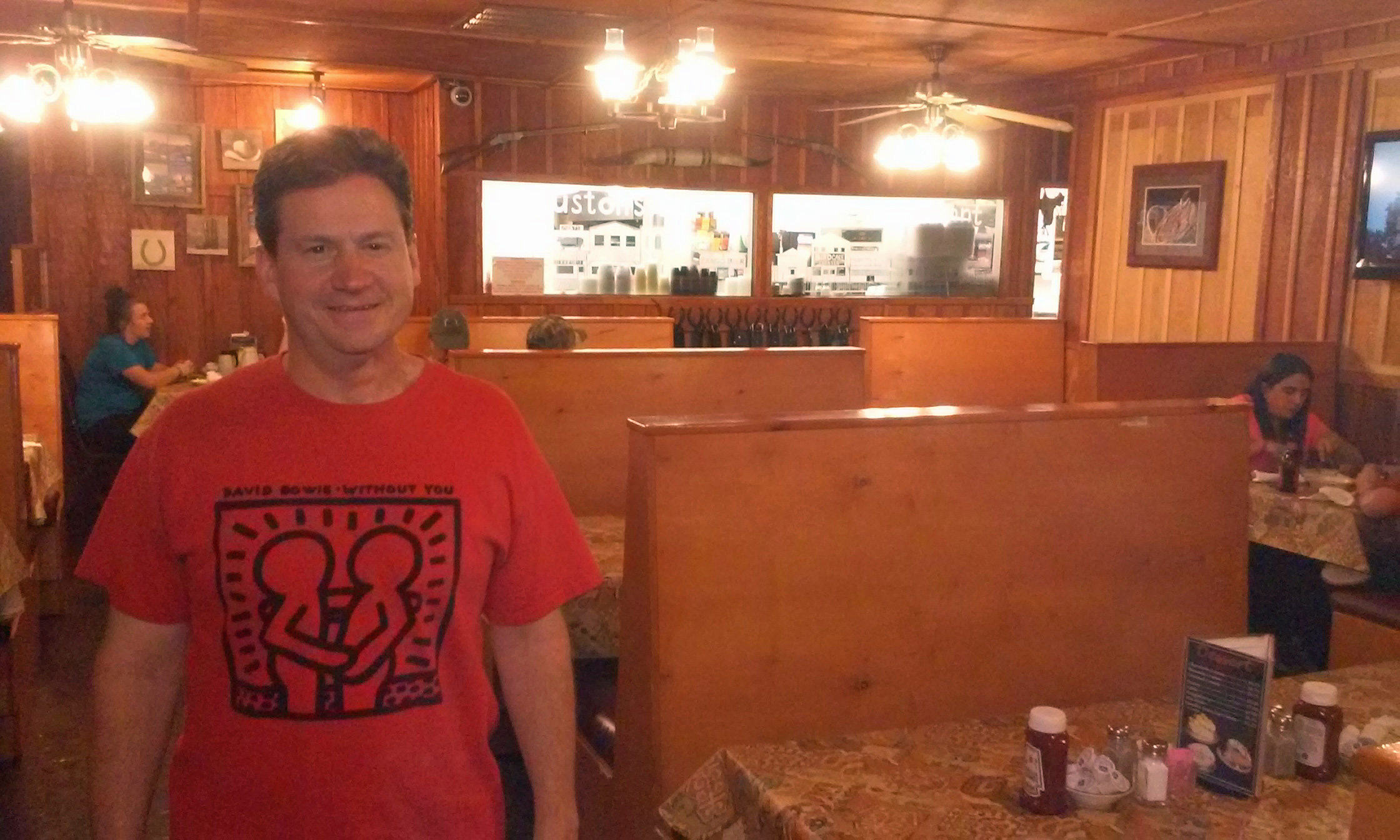 Houston's Trails's End in Kanab, Utah |
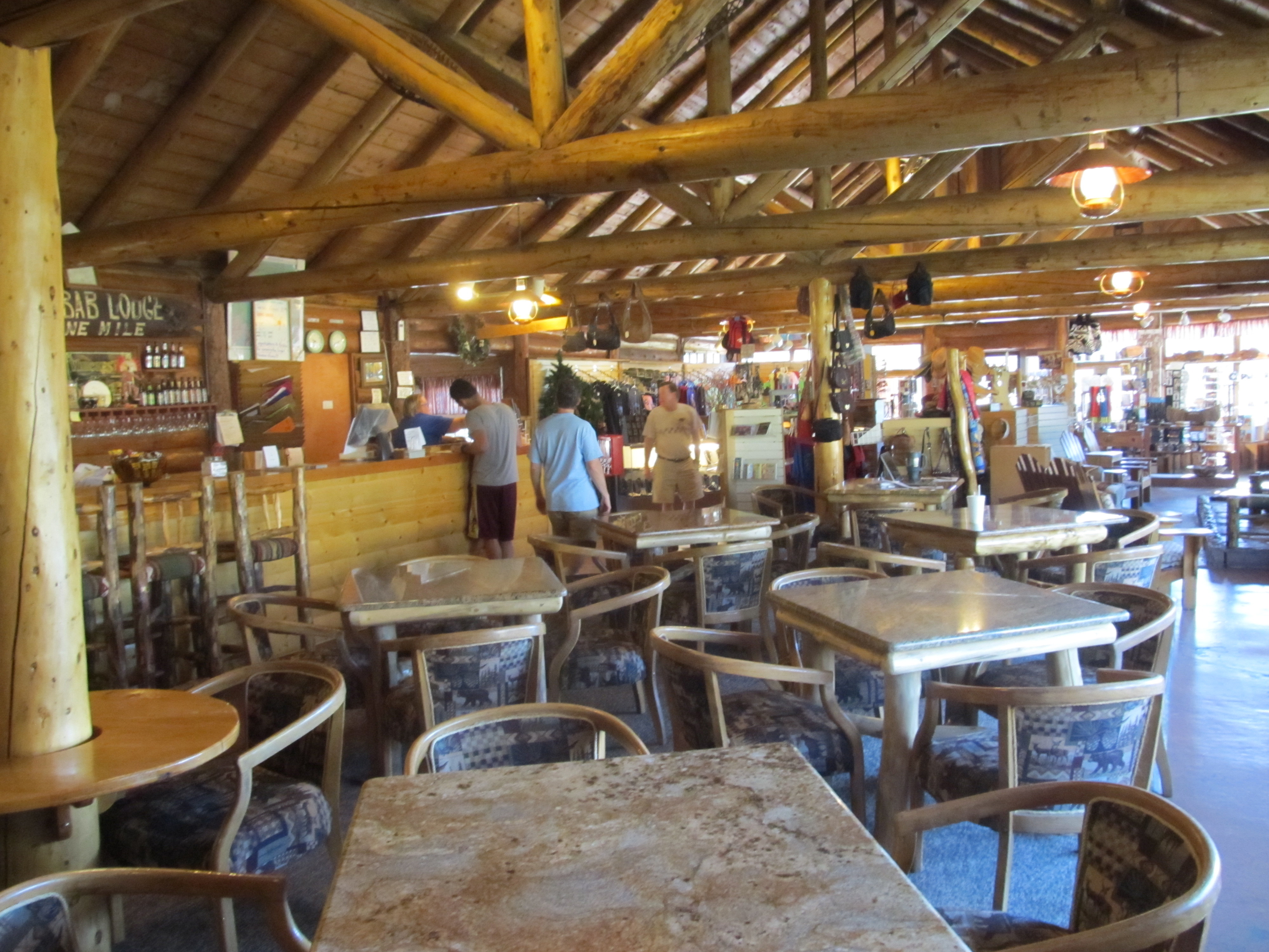 Kaibab Lodge | 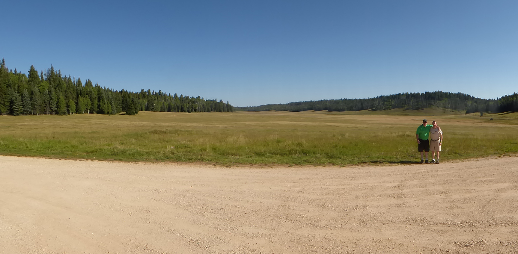 Dave & Jim at the Kaibab Lodge parking lot |
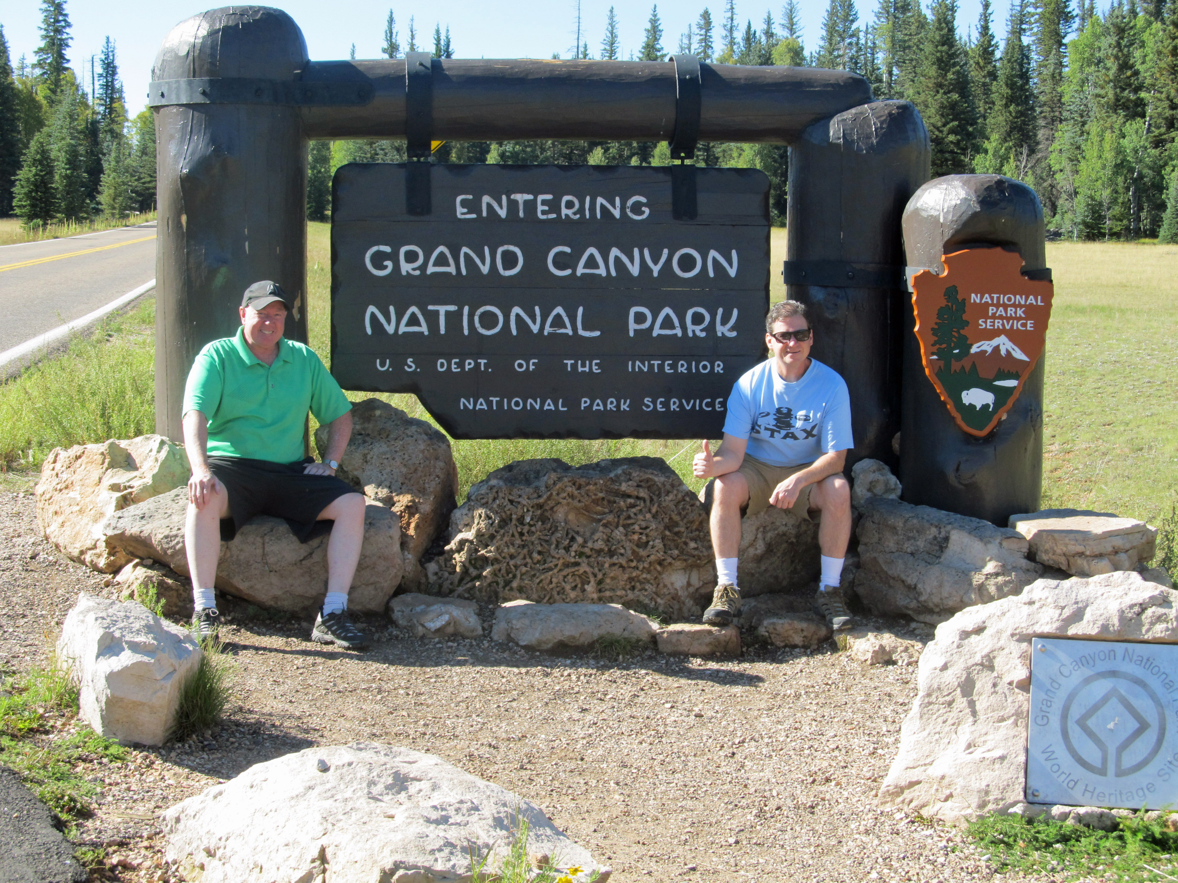 Jim & Tom at the entrance |
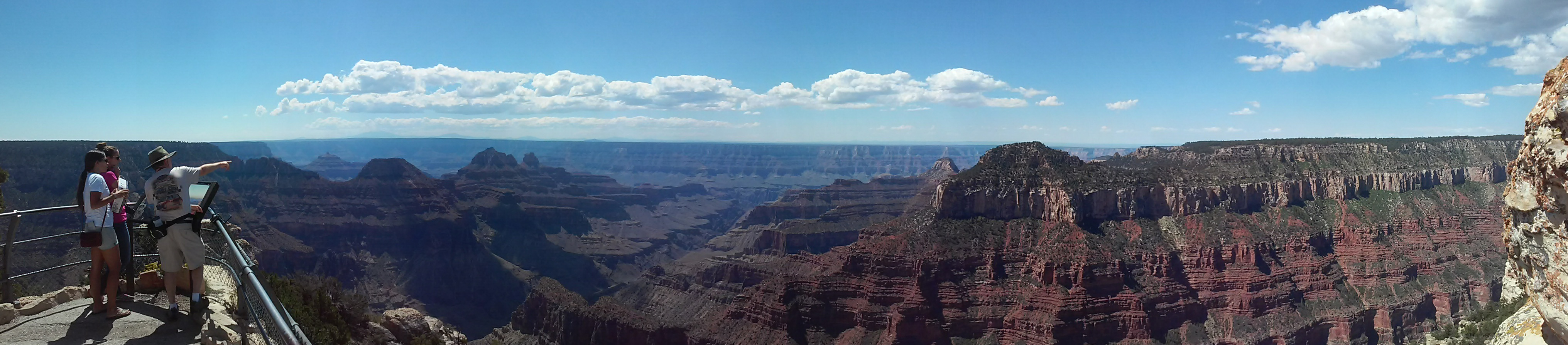
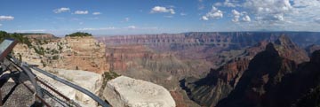
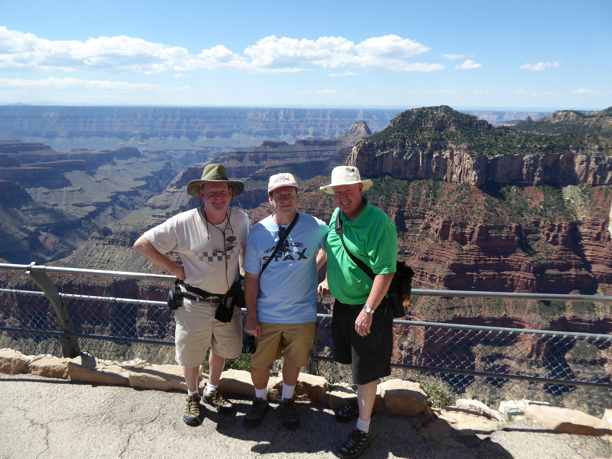 Dave, Tom & Jim at Bright Angel Point |  Click for video of panoramic view |
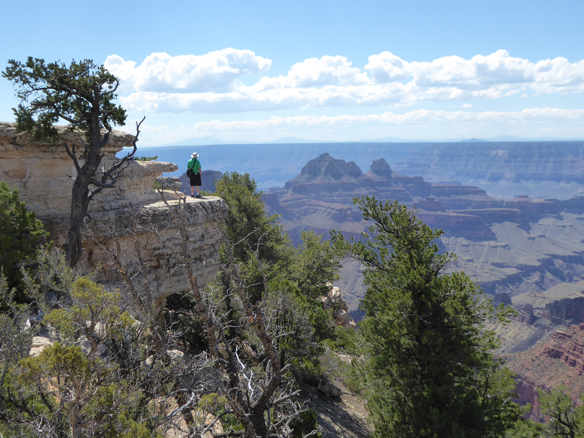 Jim at Bright Angel Point |
 Ranger Dave at Bright Angel Point |
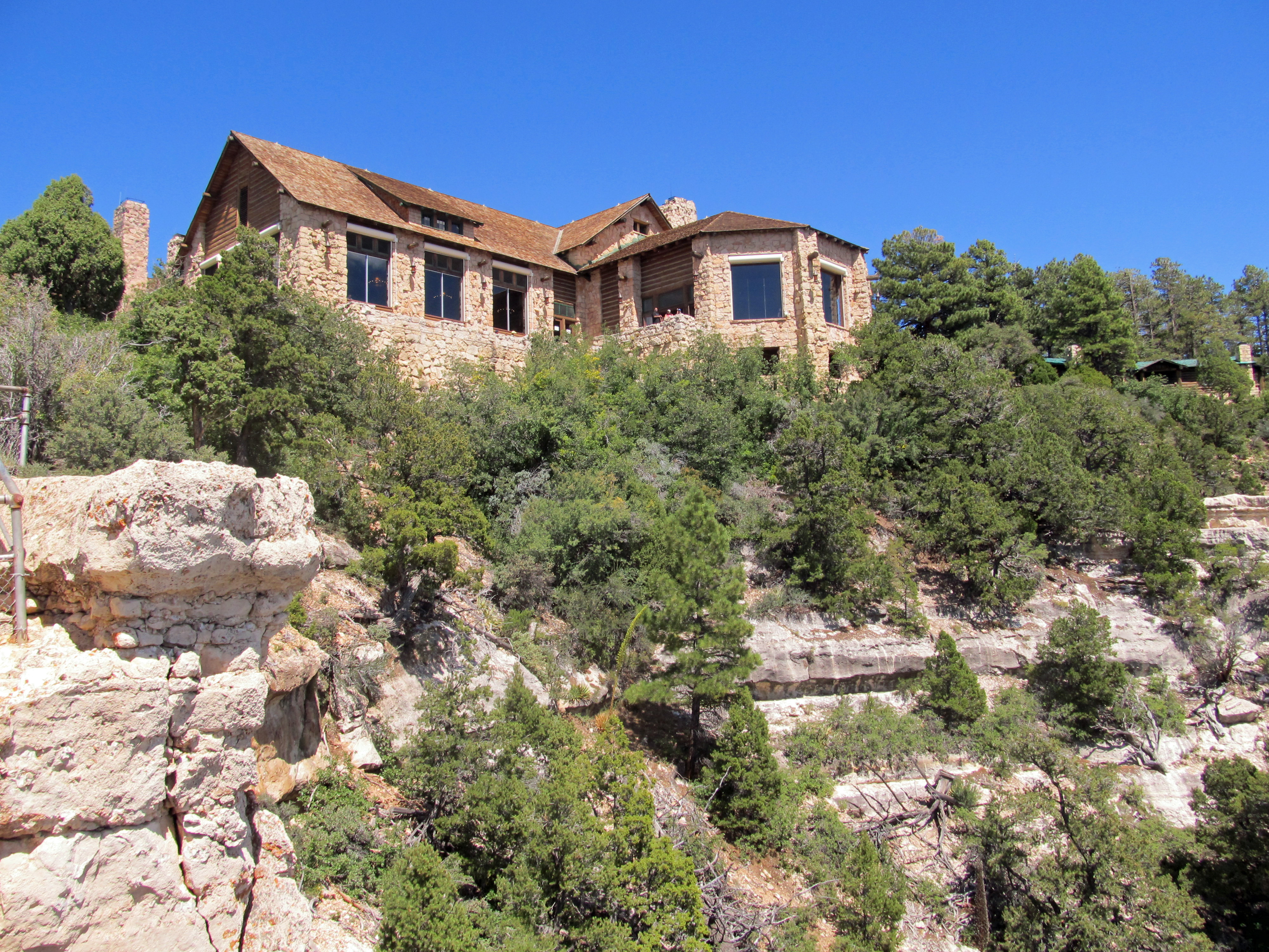
 Grand Canyon Lodge on the right |
 View from Bright Angel Point trail |
Jim on the Transept Trail |
Transept Trail view |
 Grand Canyon Lodge |
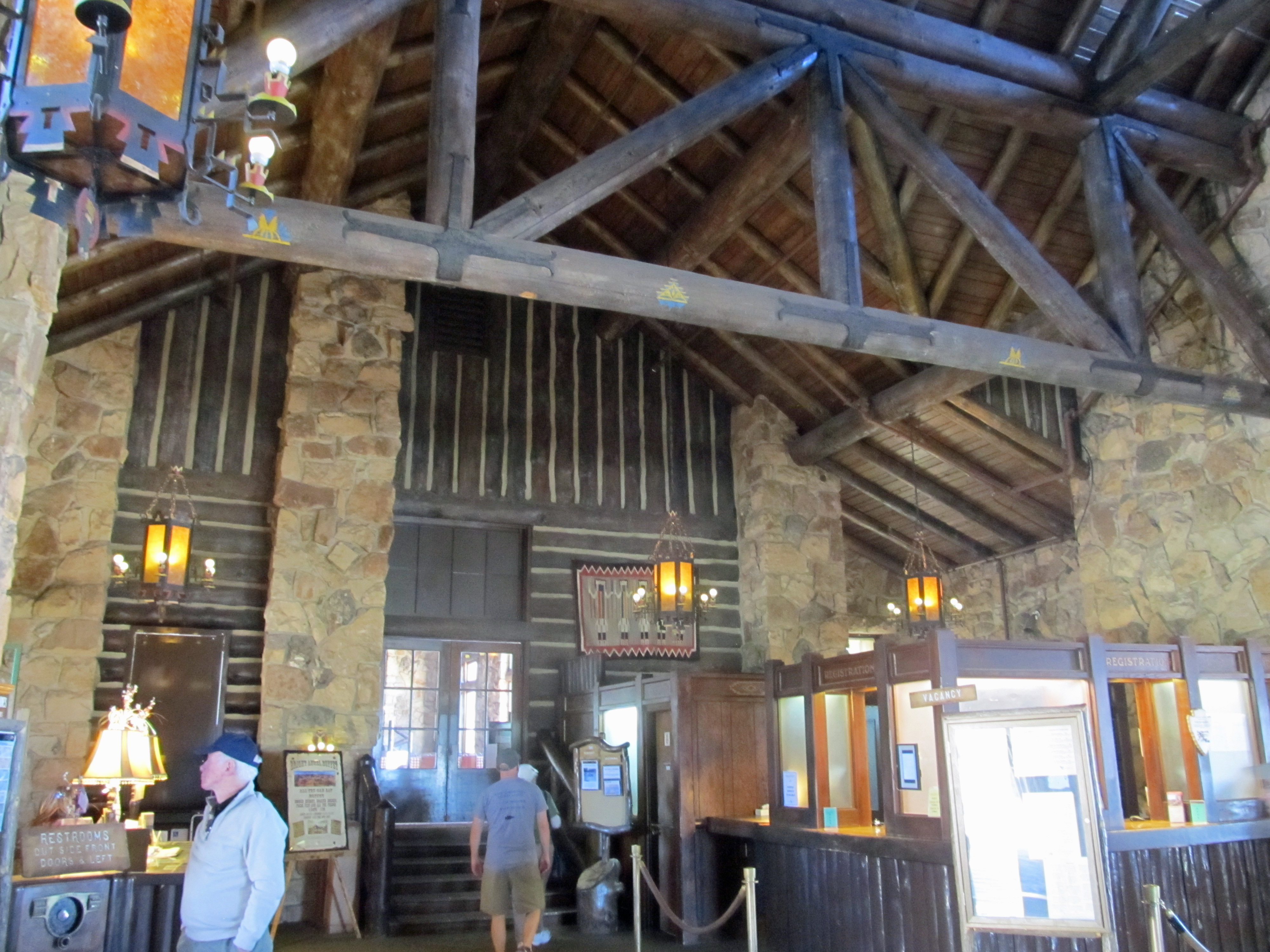 Lodge Front Desk |
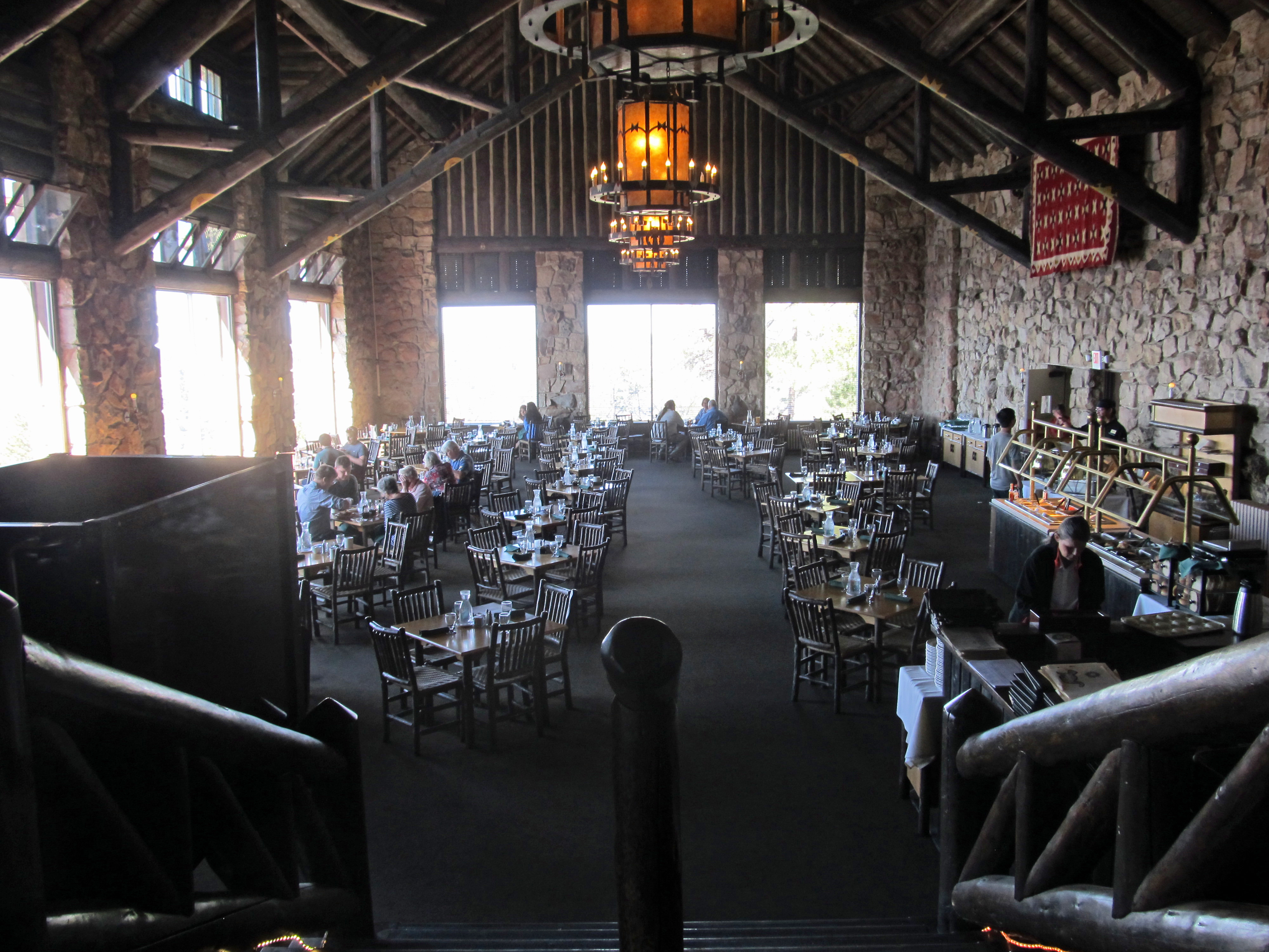 Lodge Restaurant |
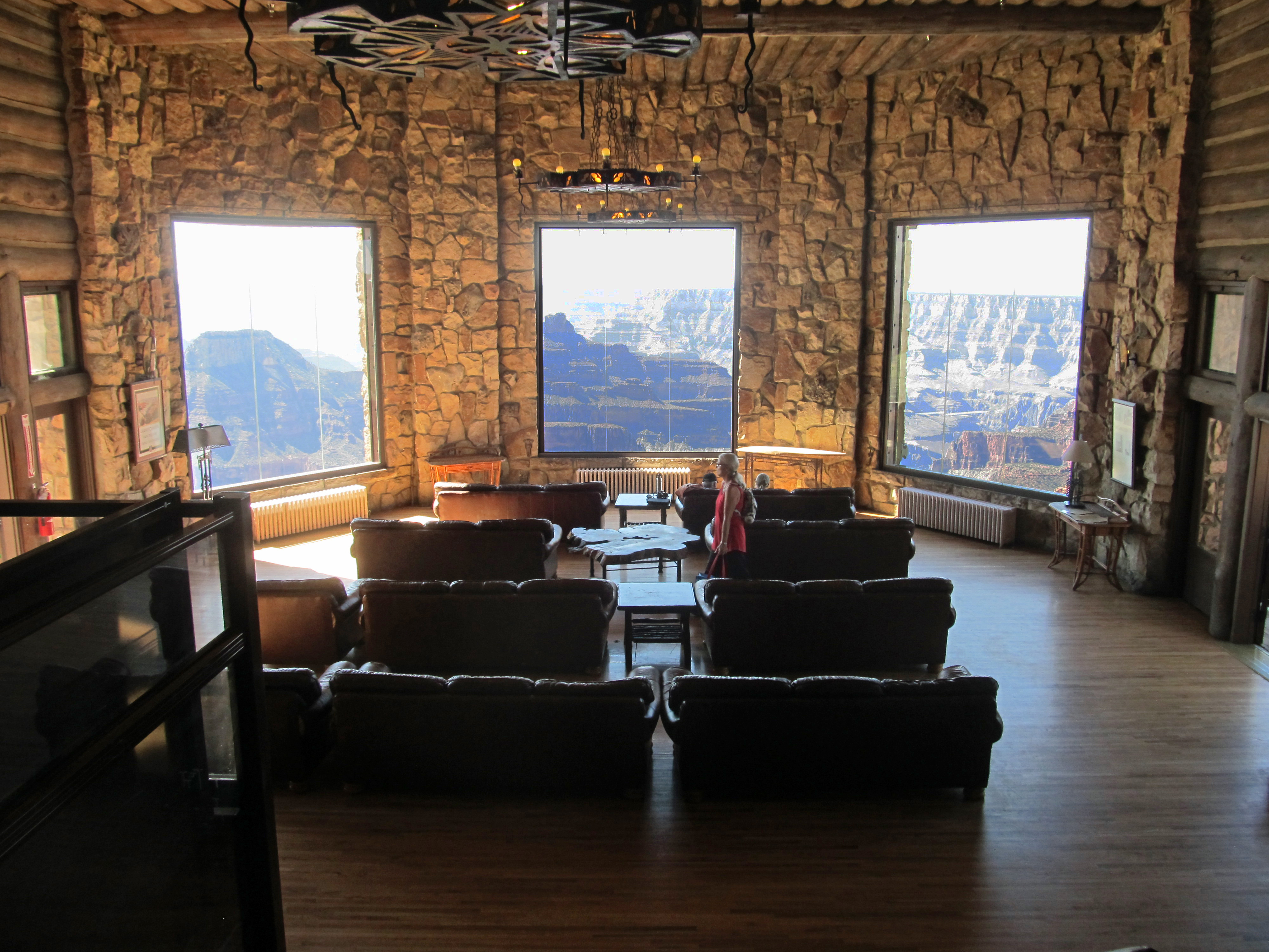 Lodge lounge |
|
 Grand Canyon Lodge |
 Our Cabin #21 |
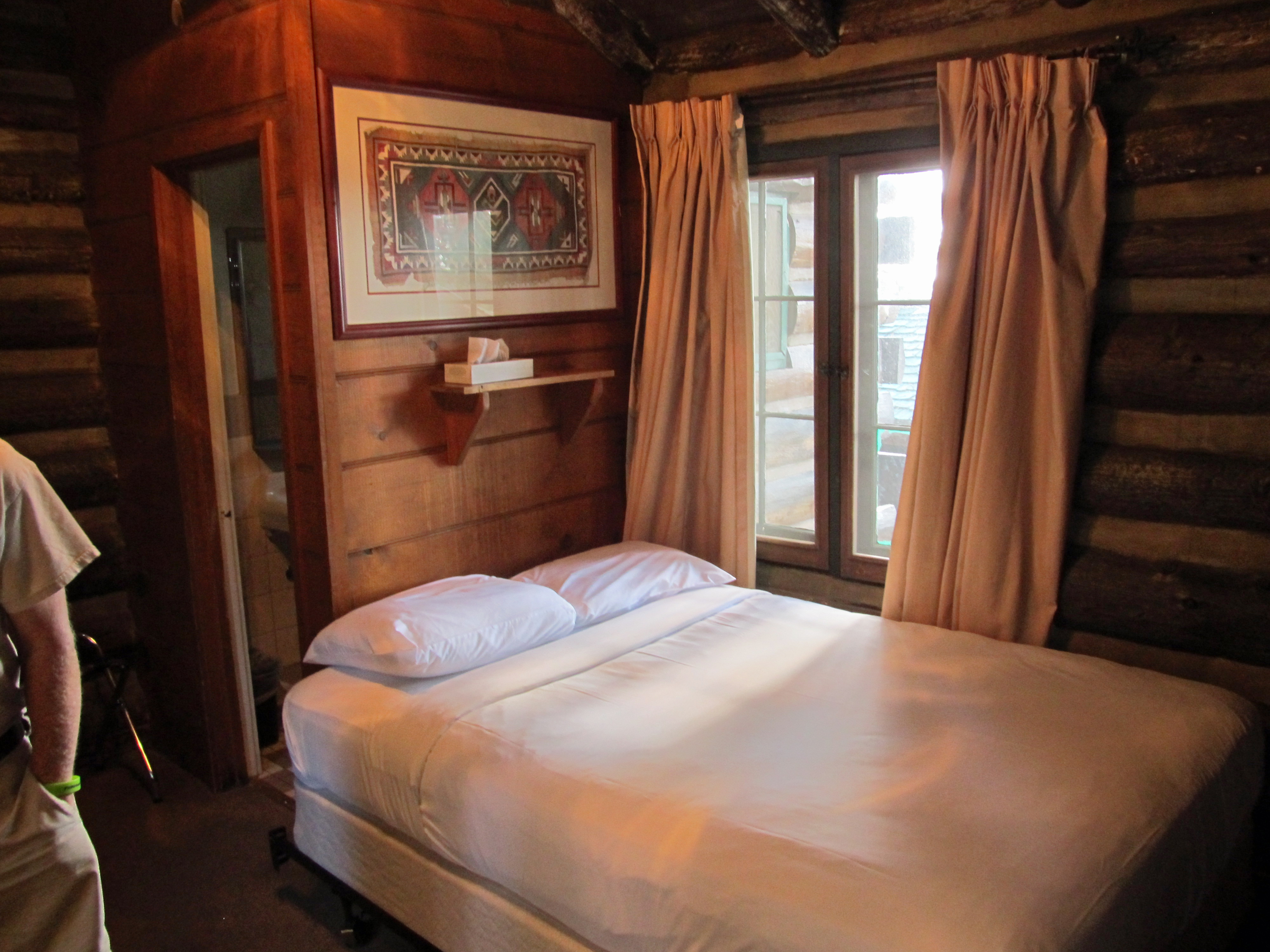 Our Cabin #21 |
 Park Ranger talk on condors |
|
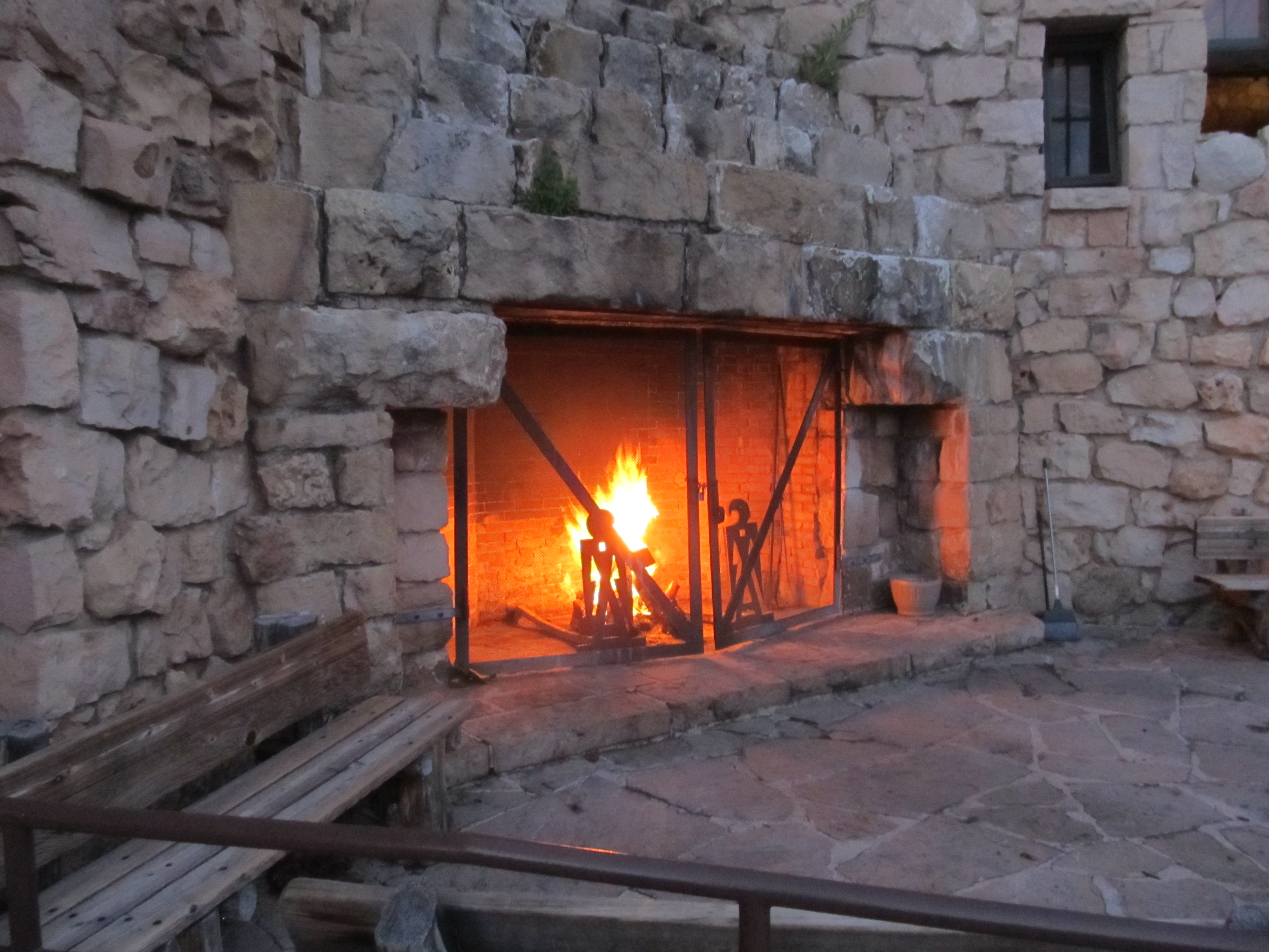 Lodge porch fireplace |
 Lodge porch view |
 Lodge porch view |
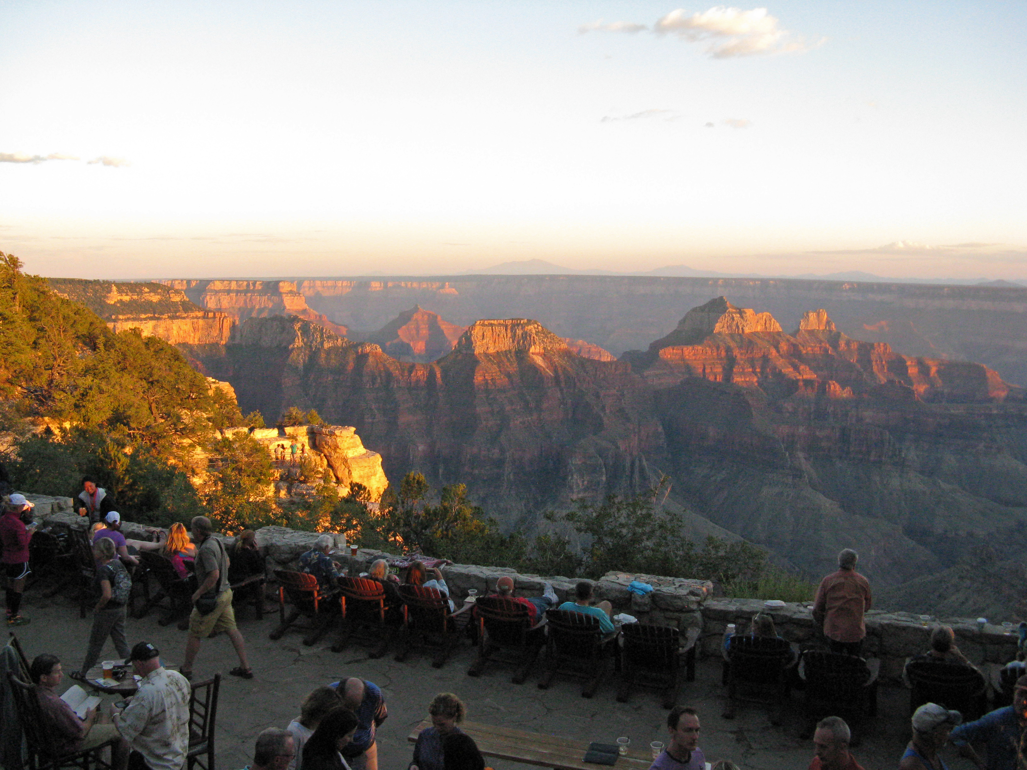
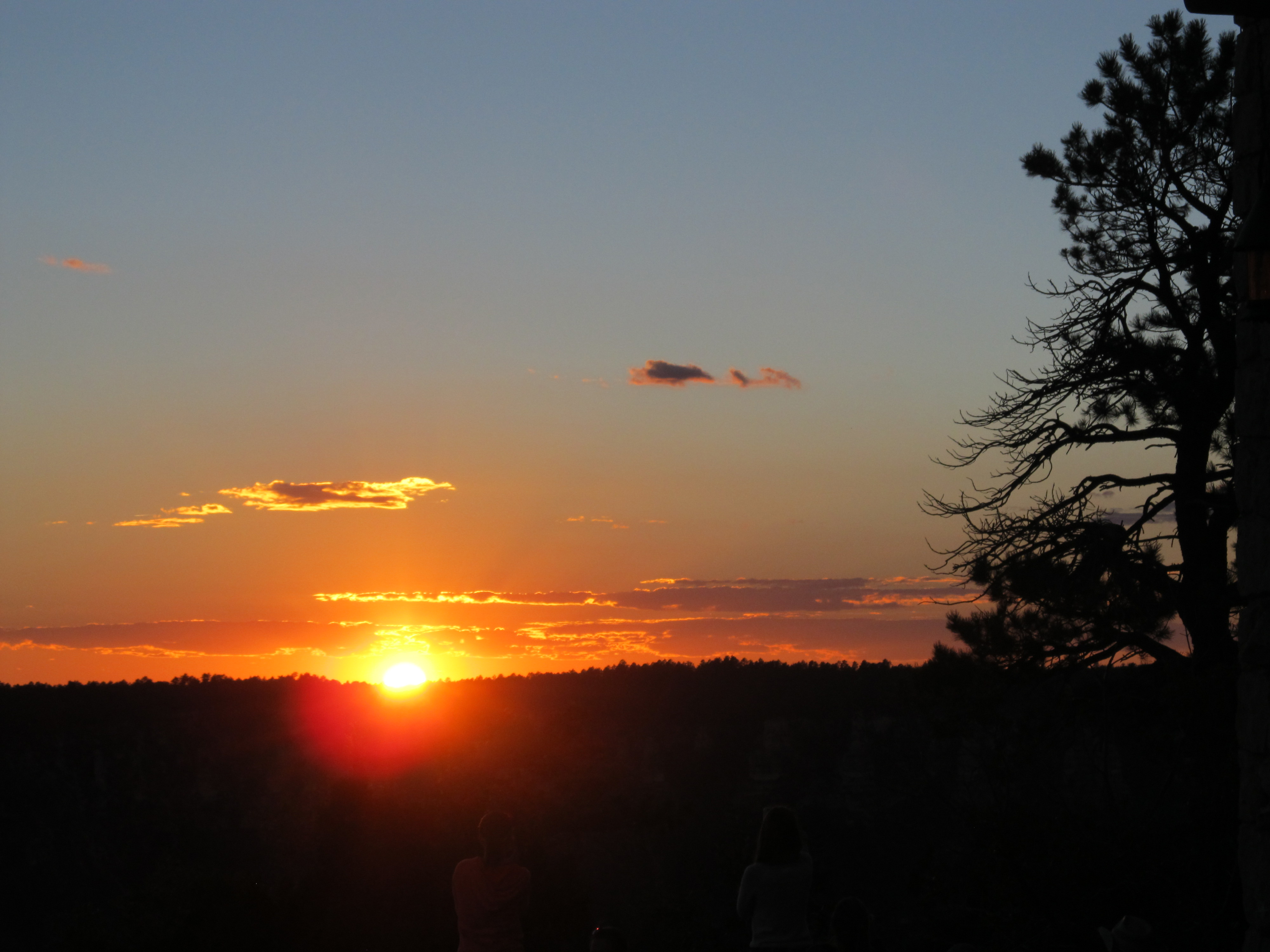 Sunset from Lodge porch |
 |

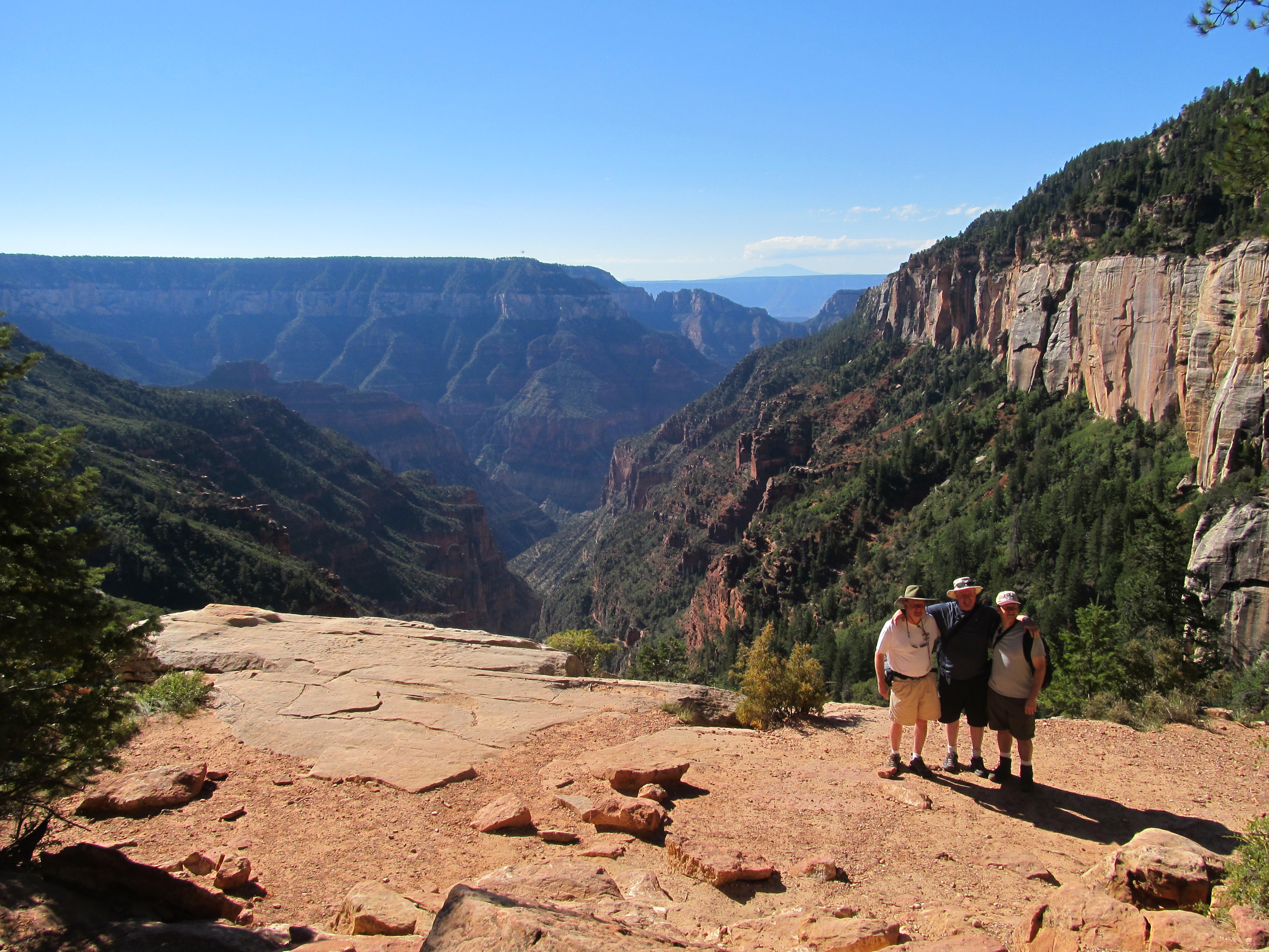
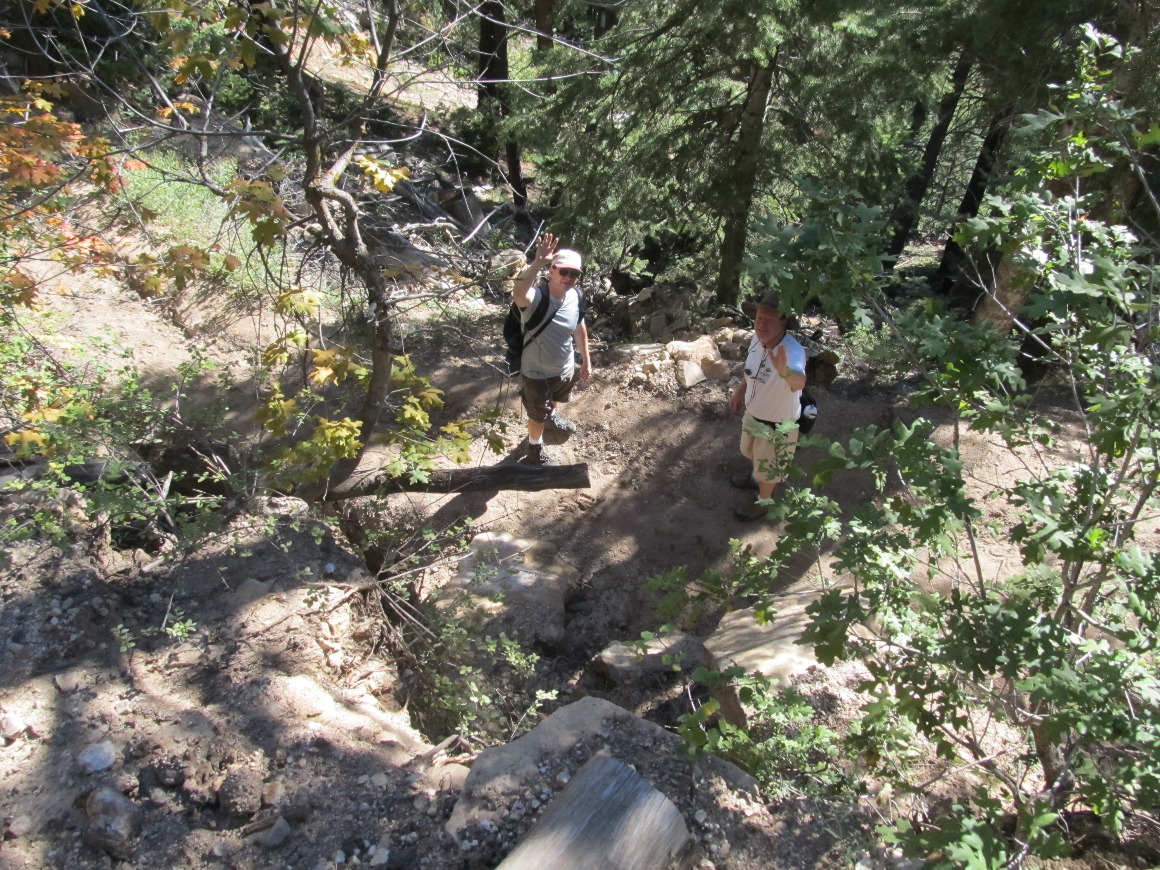 North Kaibab Trail - Tom & Dave |
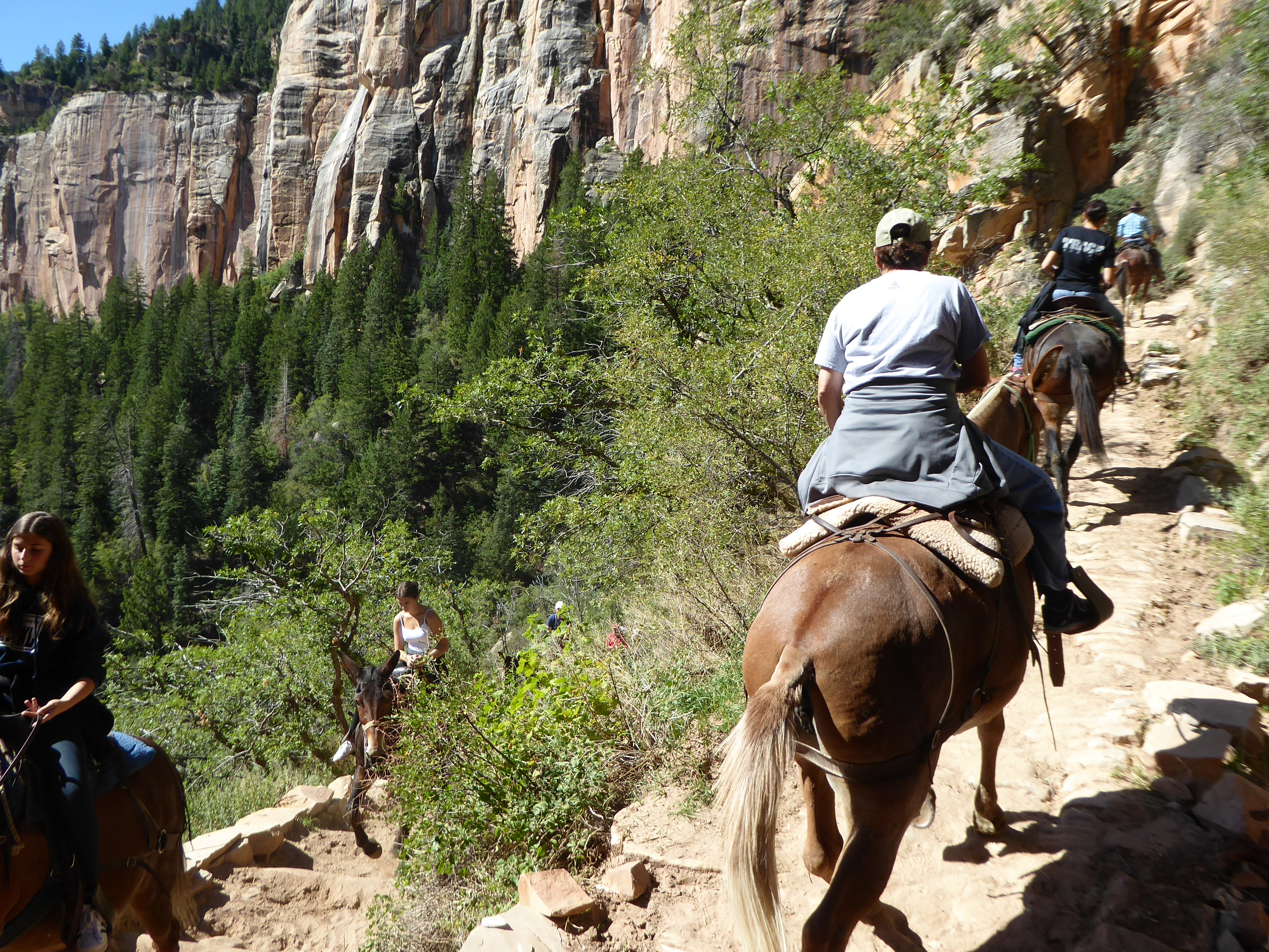 Mules coming up the North Kaibab Trail |
 Coconino Overlook |
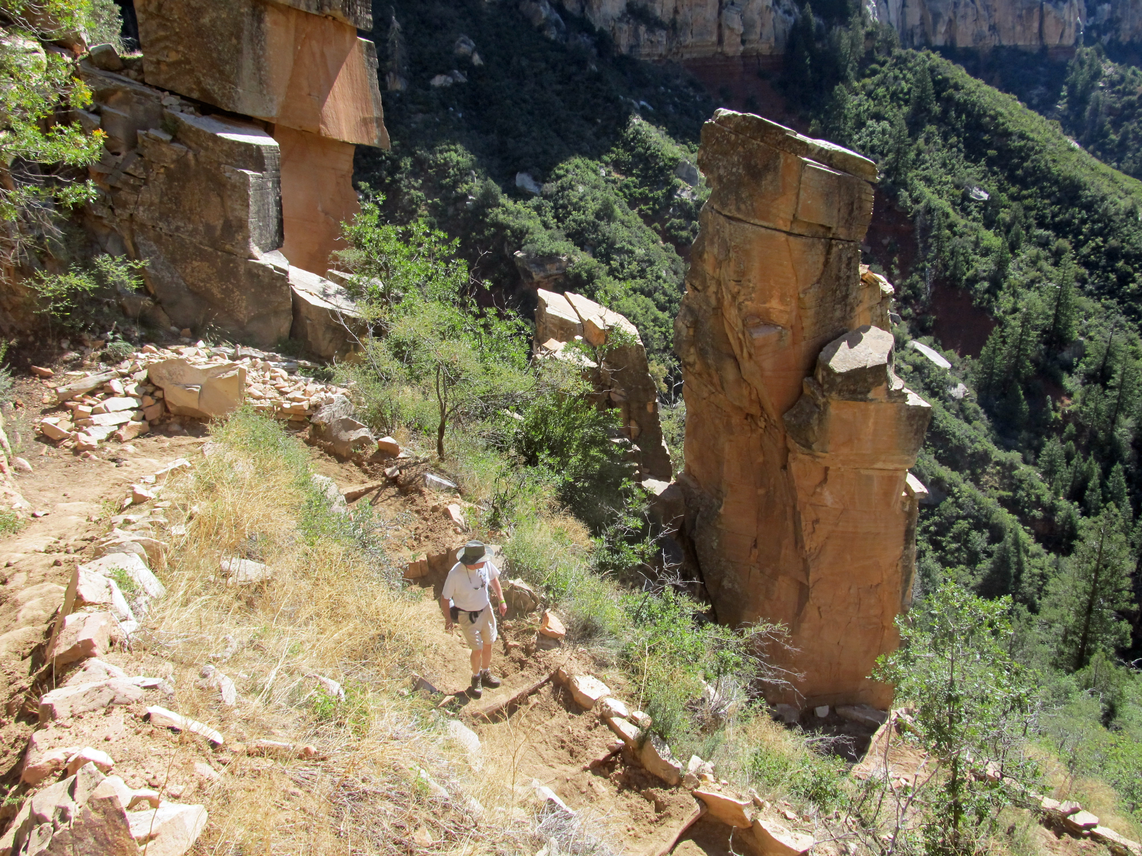 Dave on the North Kaibab Trail |
 Tom & Dave on the North Kaibab Trail |
 Dave & Tom at the Supai Tunnel |
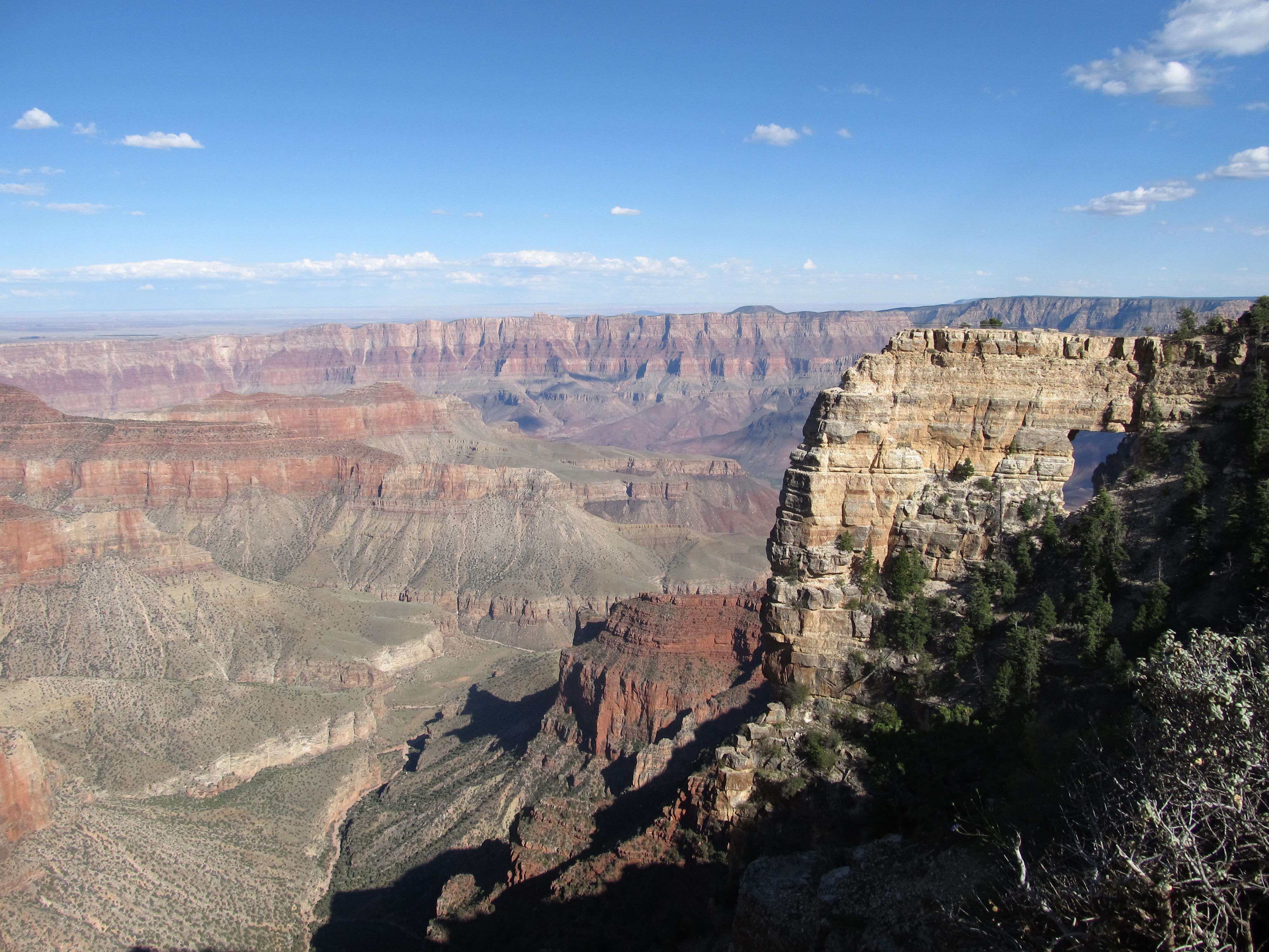 Angel's Window at Cape Royal Point |
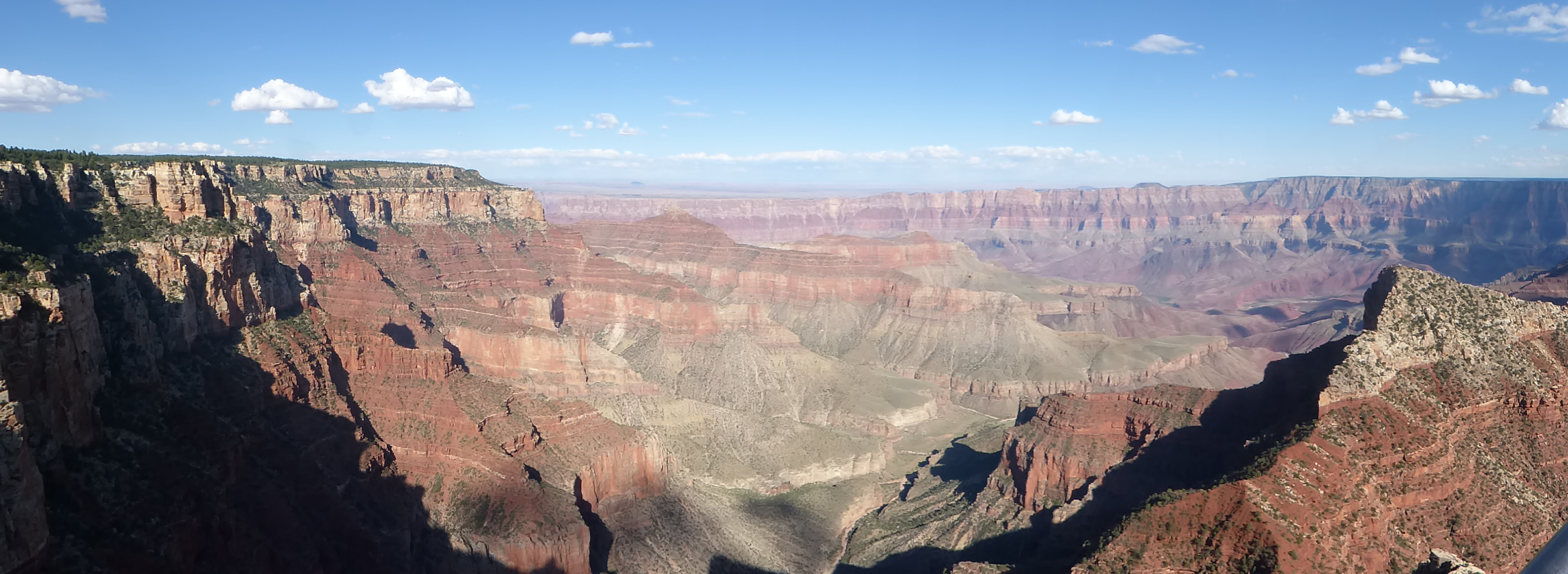 View from Cape Royal Point |
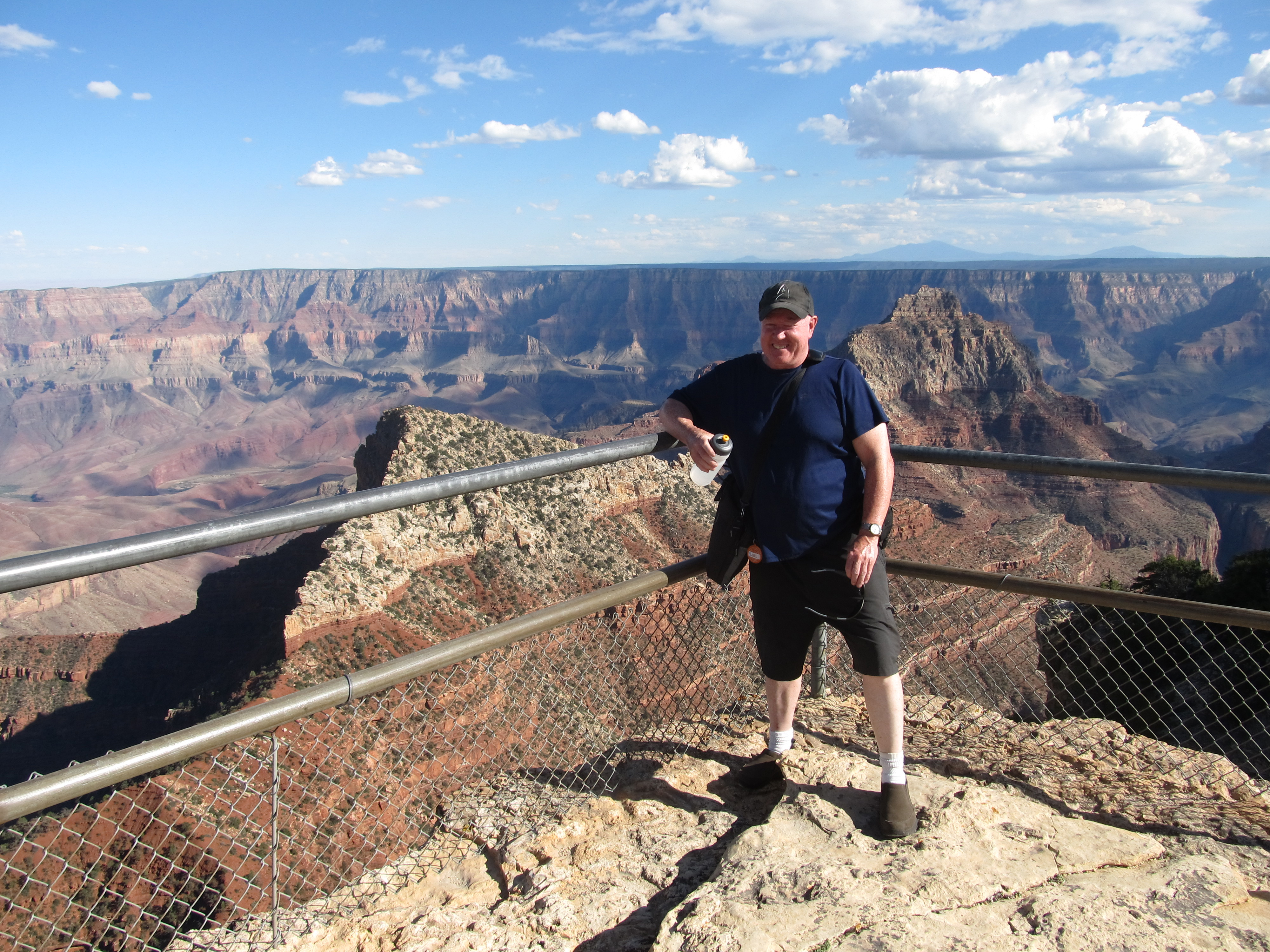 Jim at Cape Royal Point |
 View from Cape Royal Point |
 Click for video of Cape Royal Point |
 Jacob Lake Lookout Tower |
 Tom & Dave climbing the lookout tower |
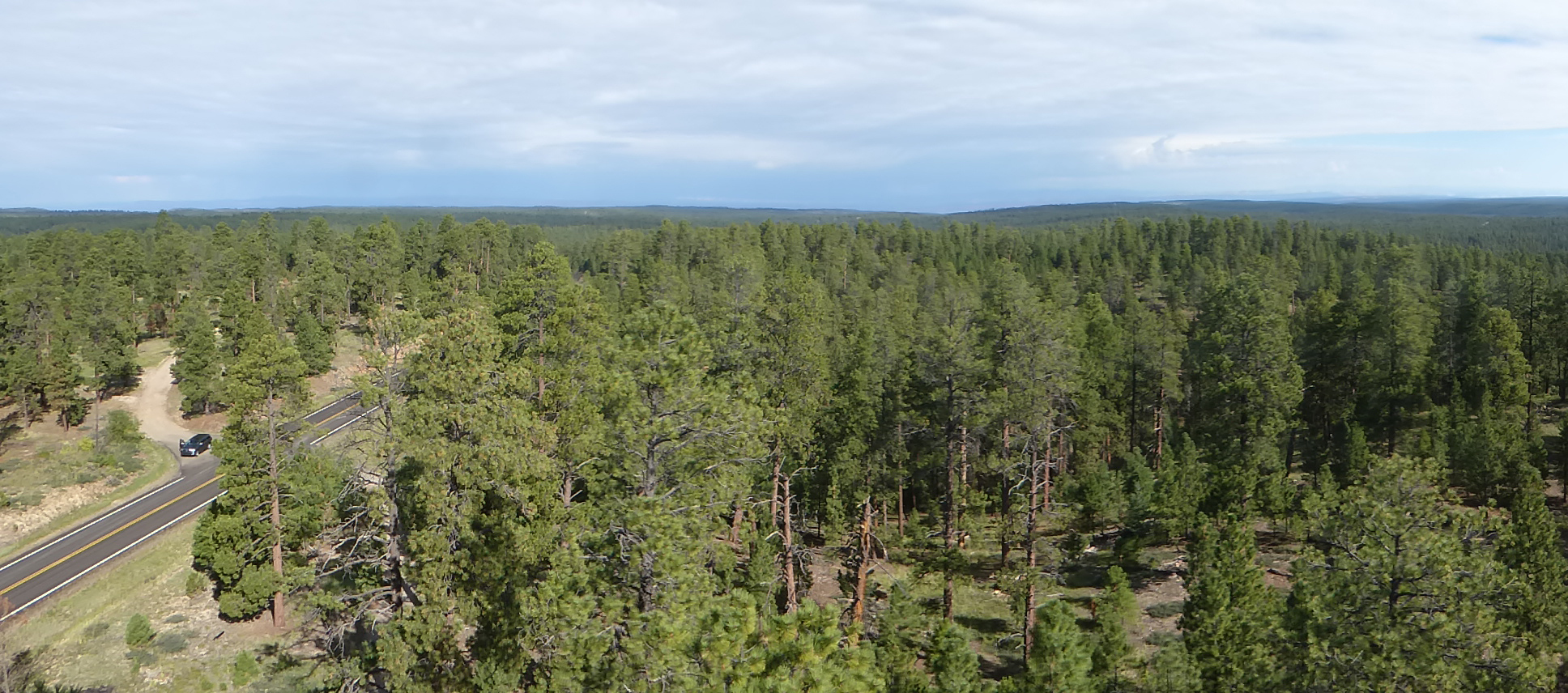 View from the lookout tower
|
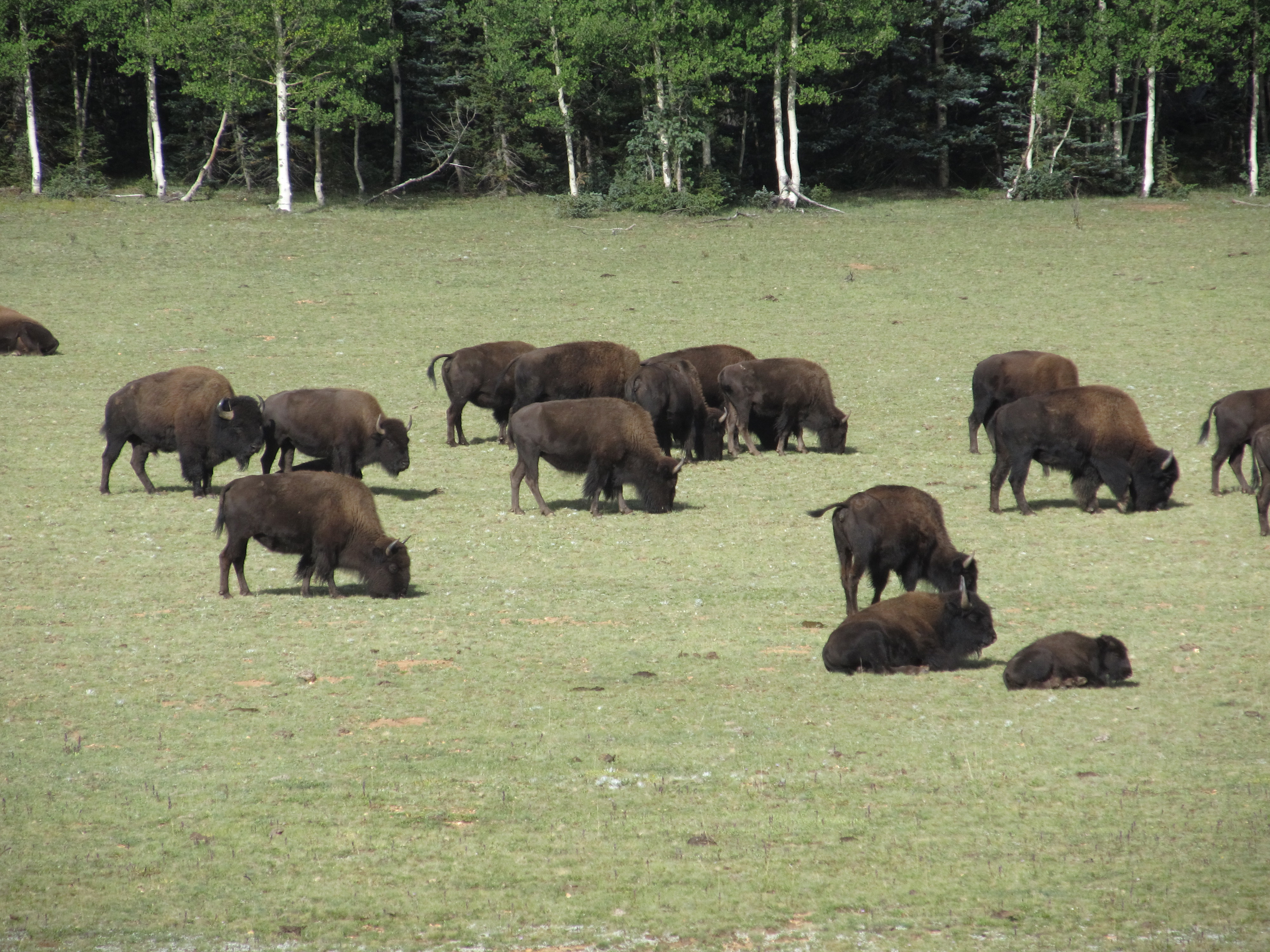 Buffalo on the drive out of the Canyon |
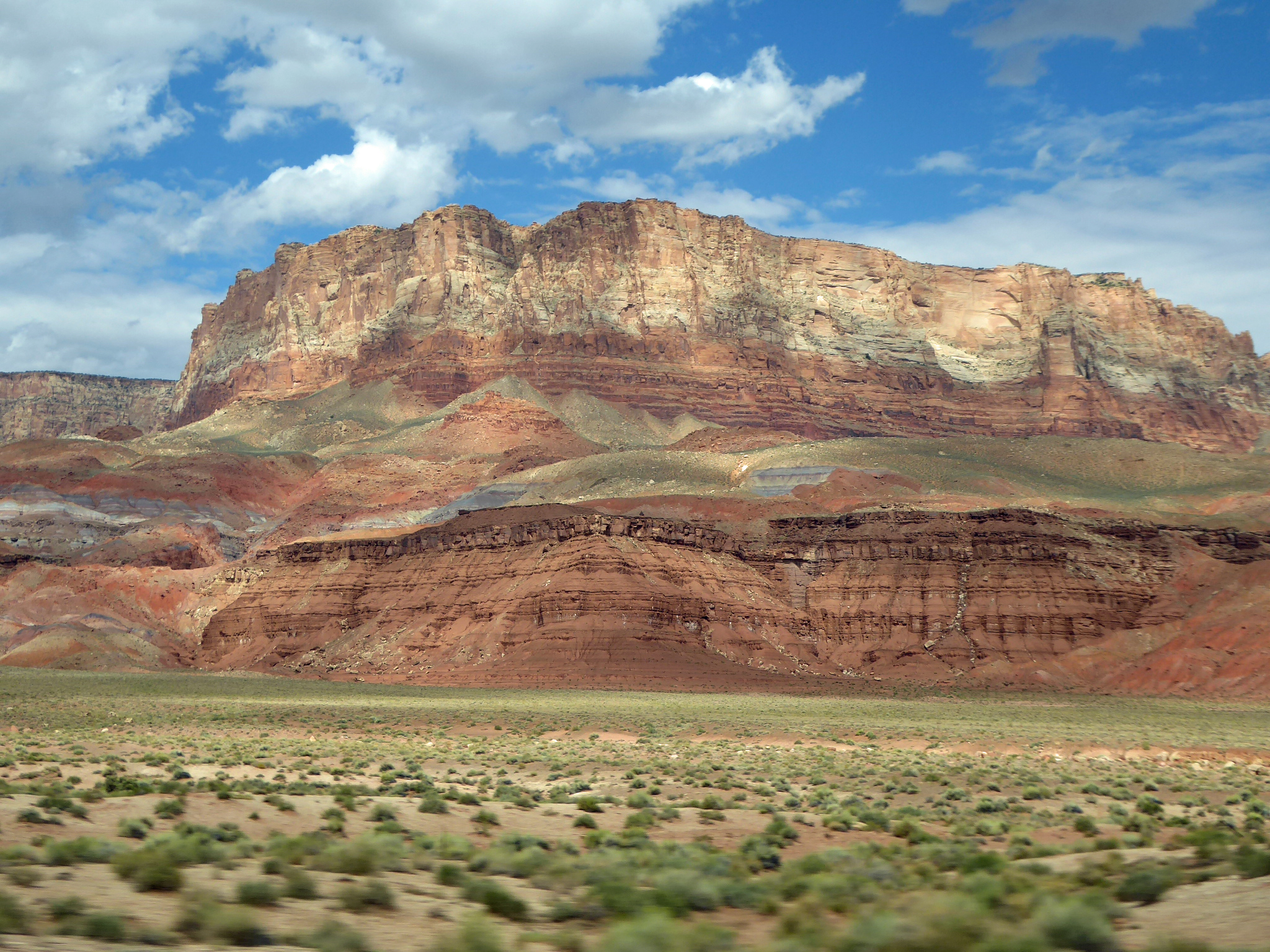 Vermillion Cliffs
|
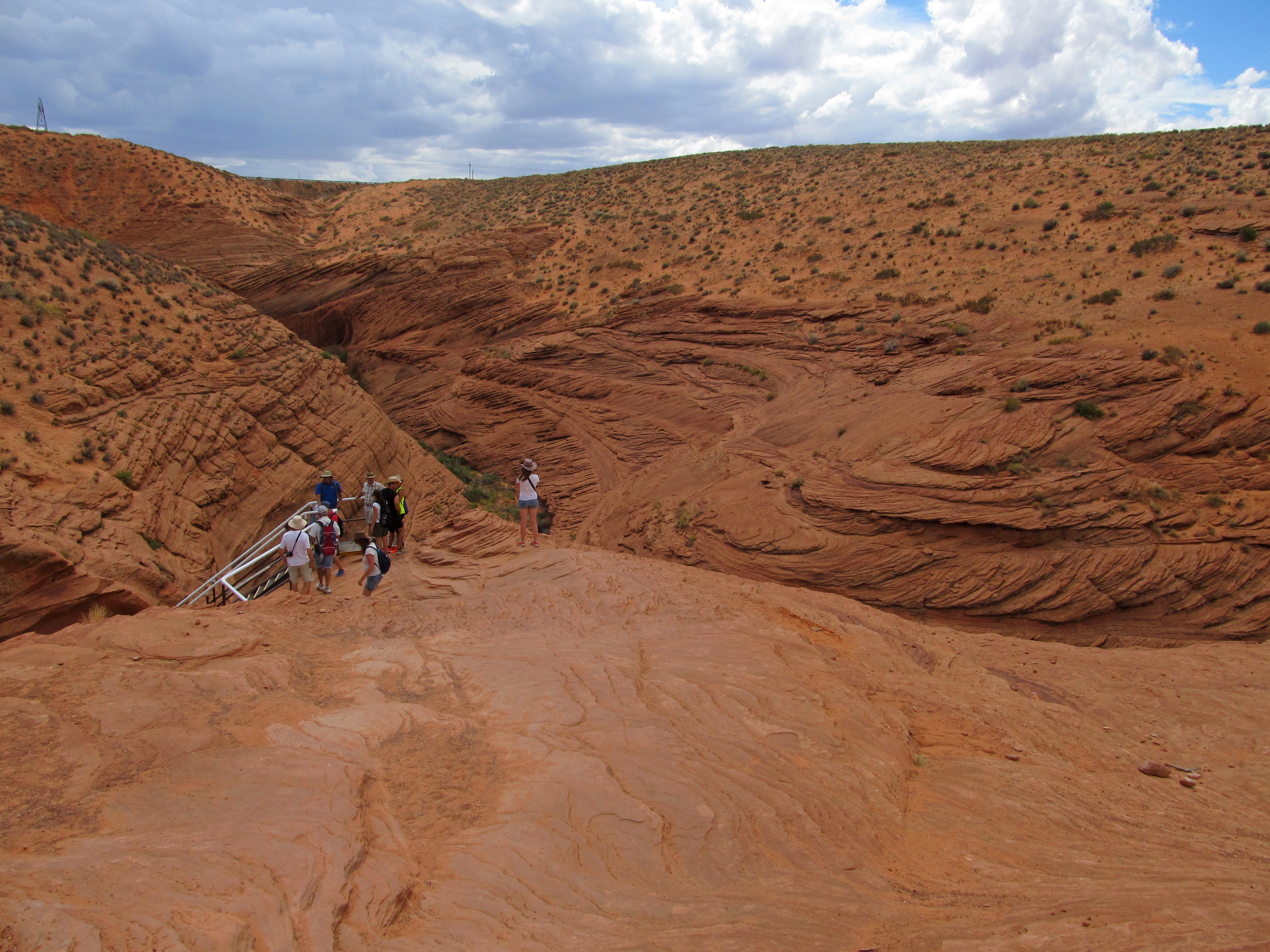 Entrance to Antelope Canyon |
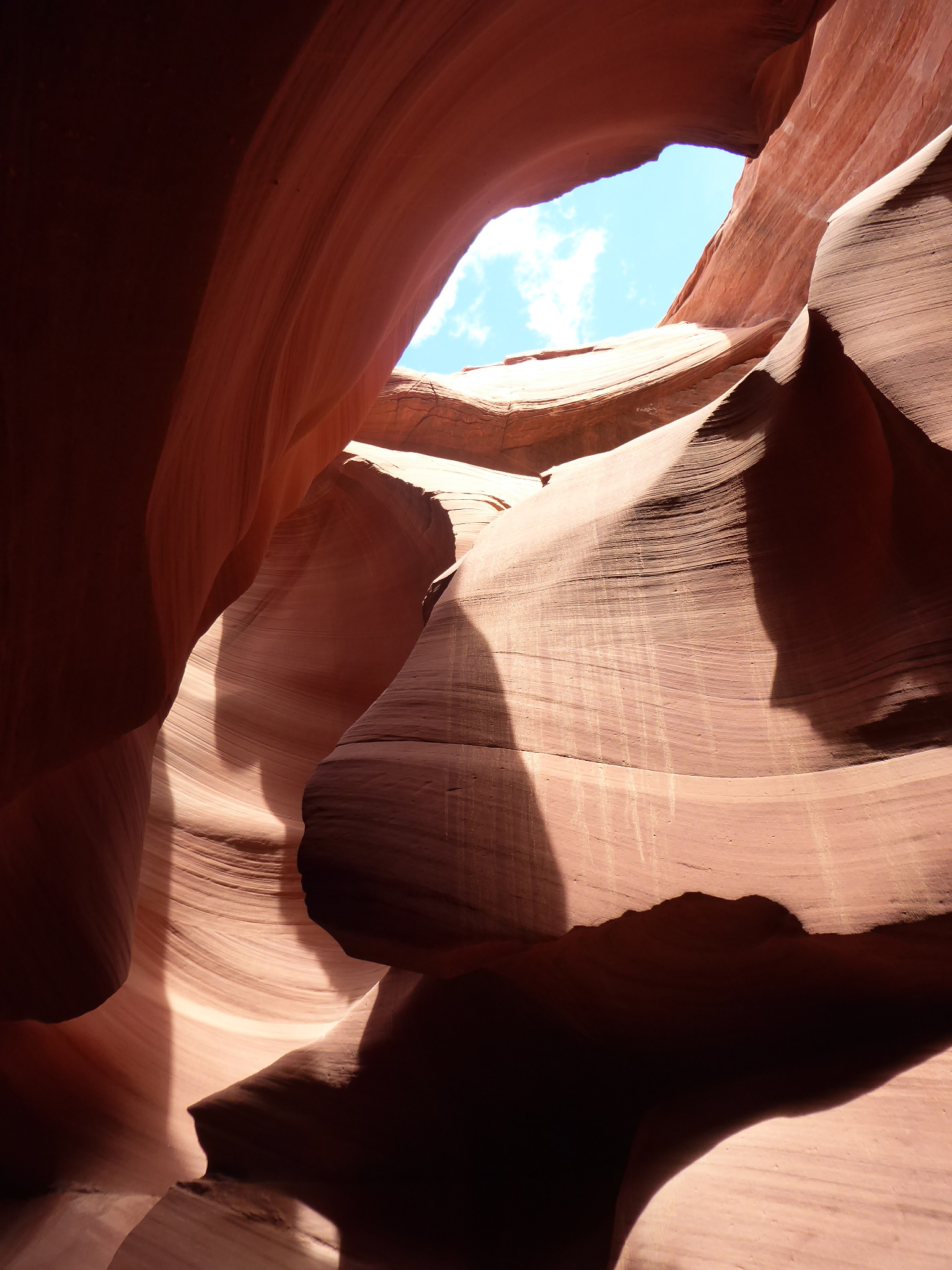
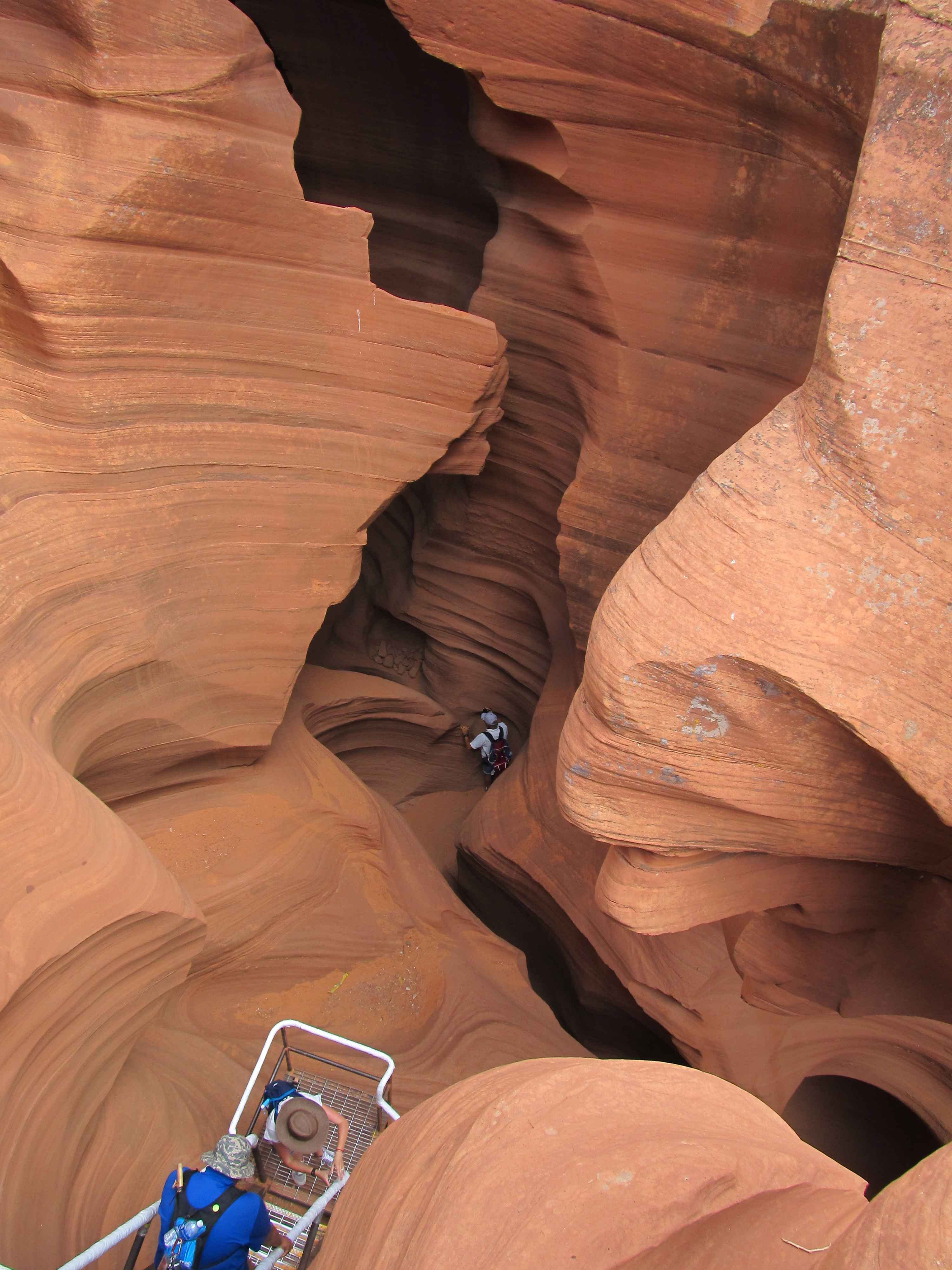 Antelope Canyon |
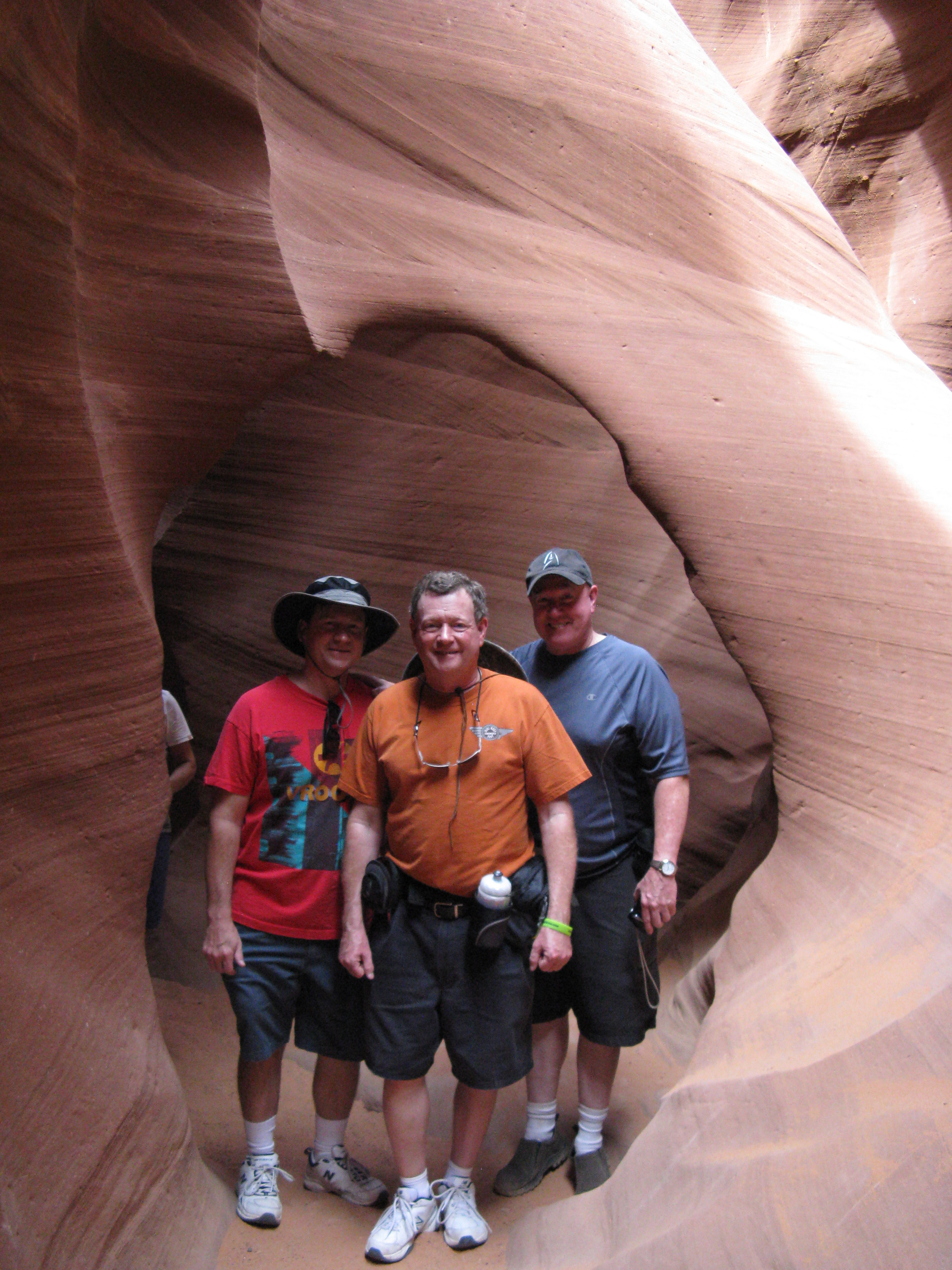
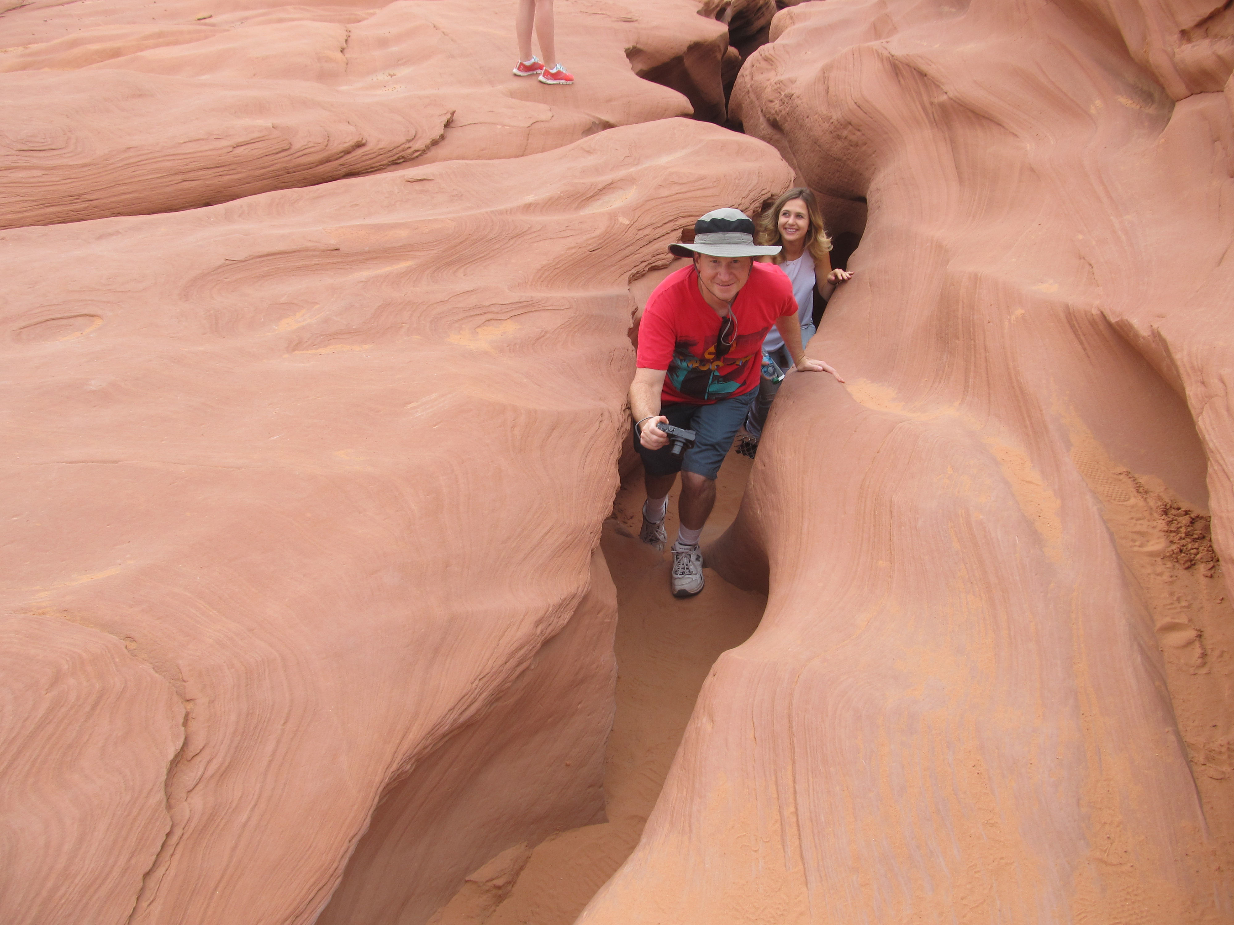
 Tom & Dave in Antelope Canyon |
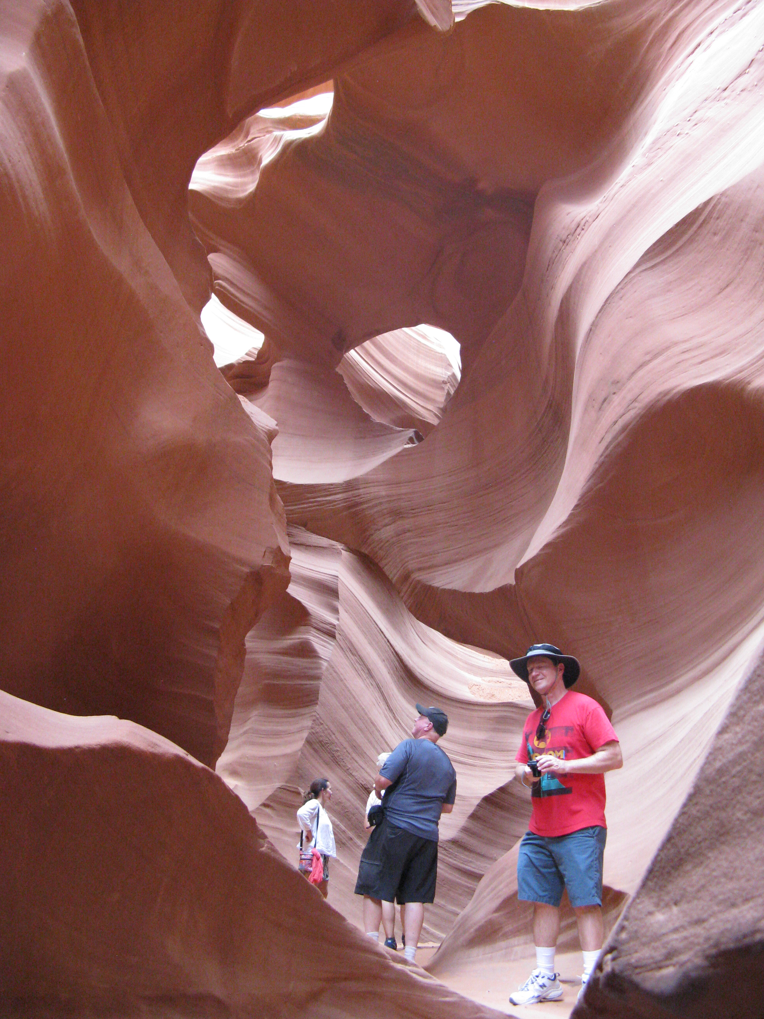
 Dave in Antelope Canyon |
 Antelope Canyon |
 Antelope Canyon |
 Antelope Canyon |
 Antelope Canyon |
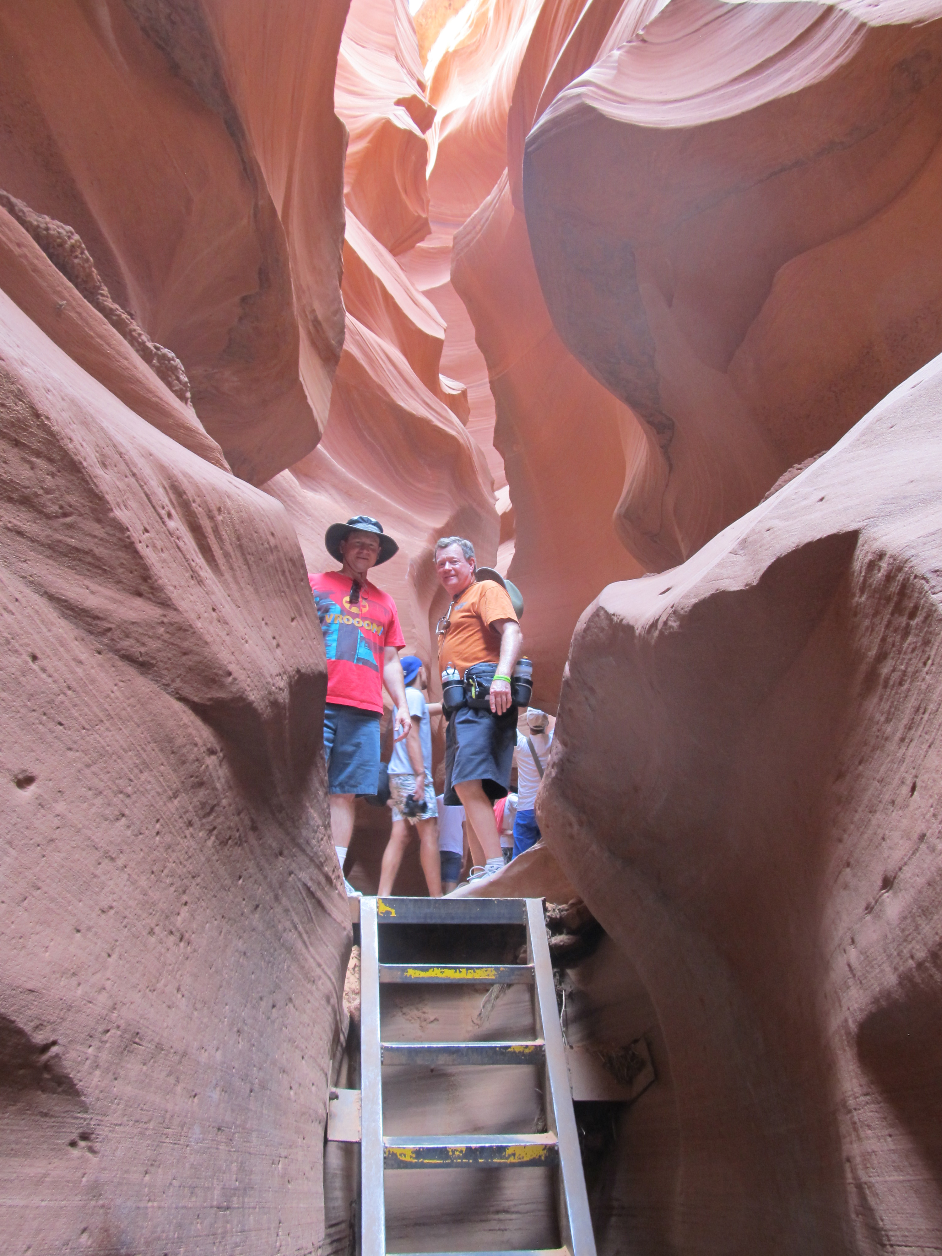
 Exit from Antelope Canyon |
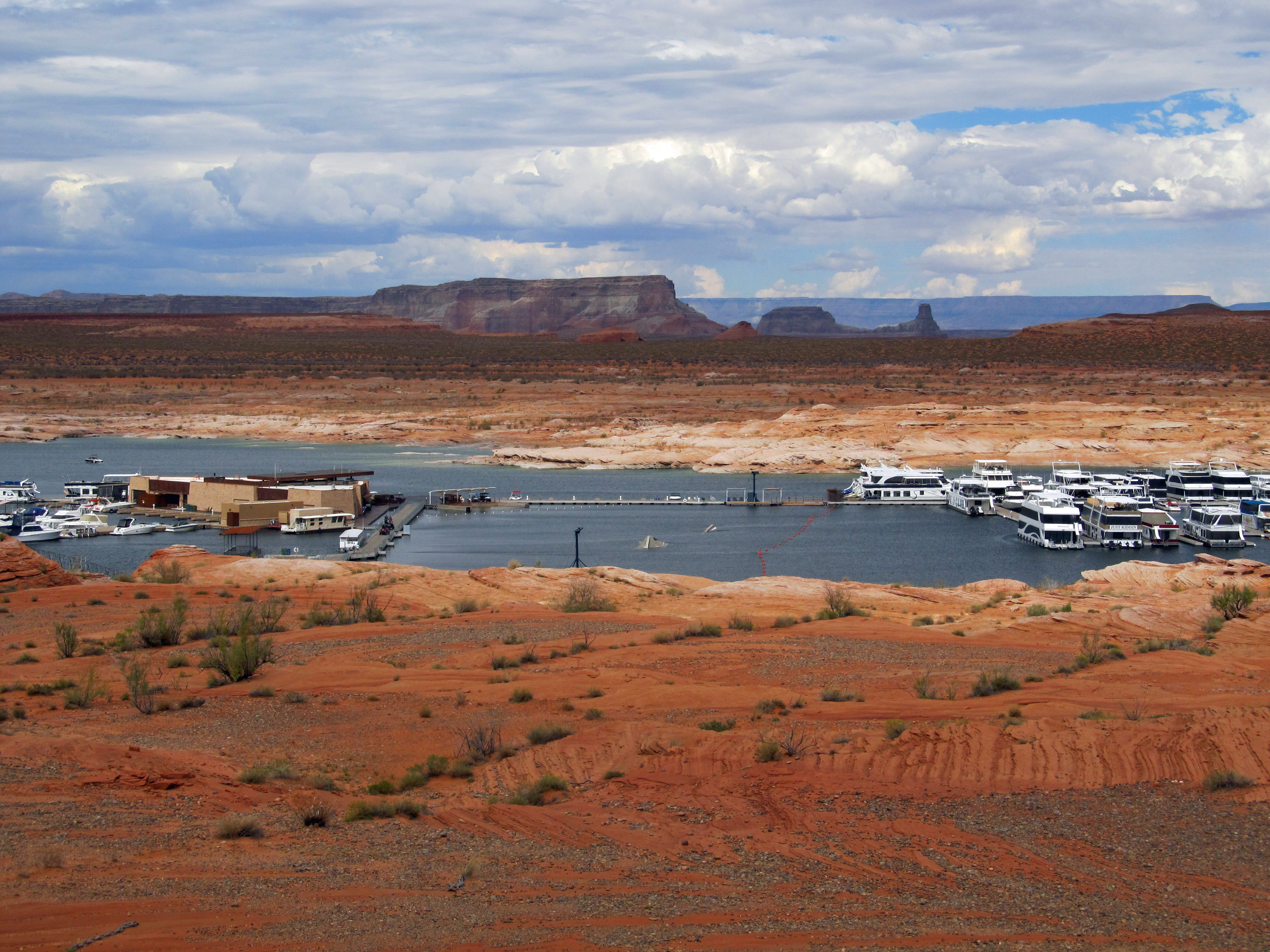 Lake Powell Marina |
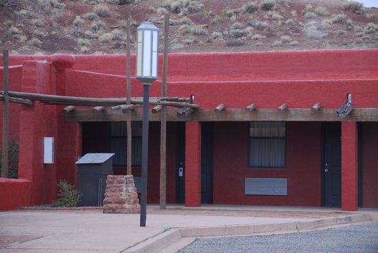
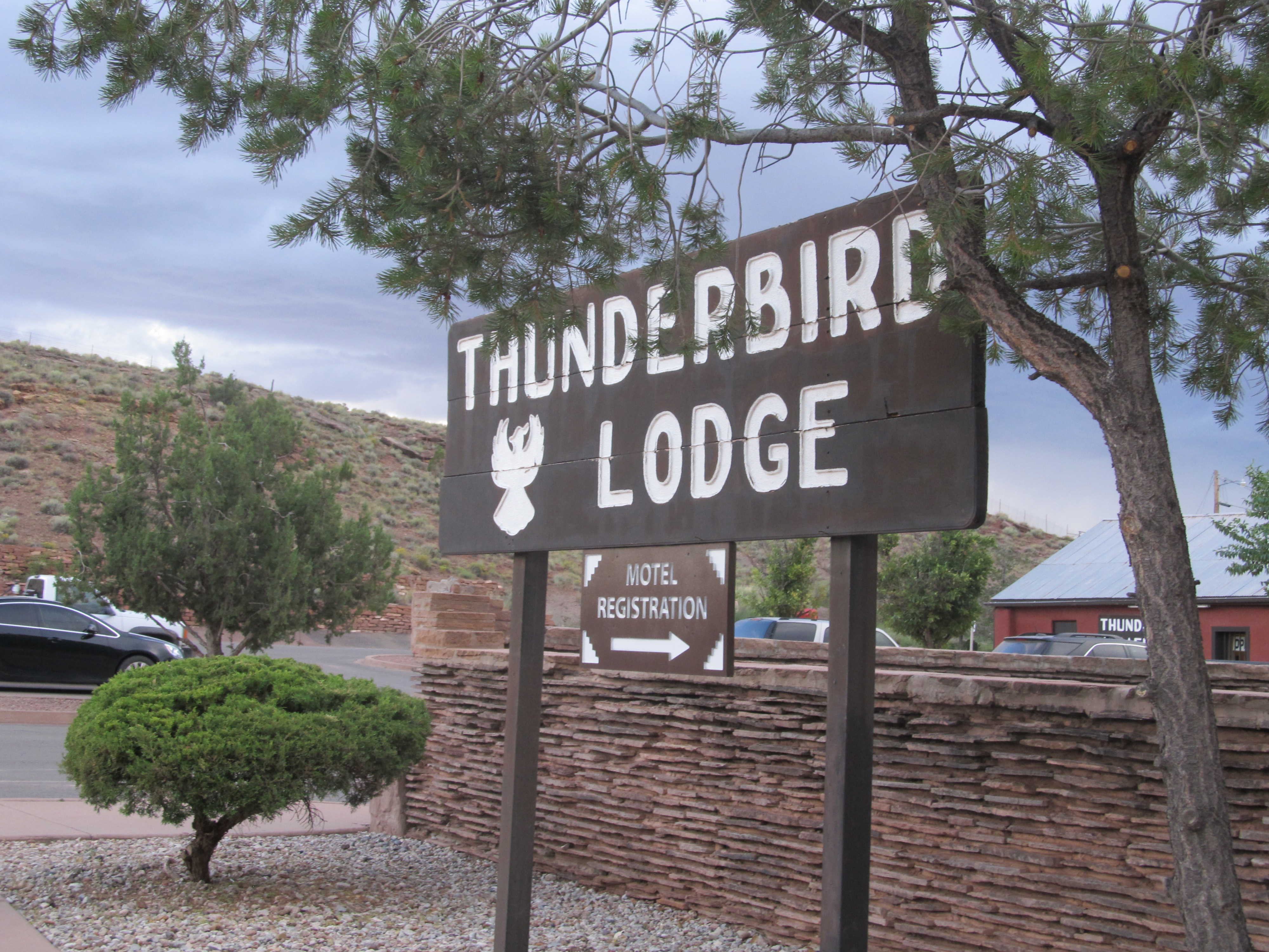 Thunderbird Lodge |
 Thunderbird Lodge |
 Thunderbird Lodge |
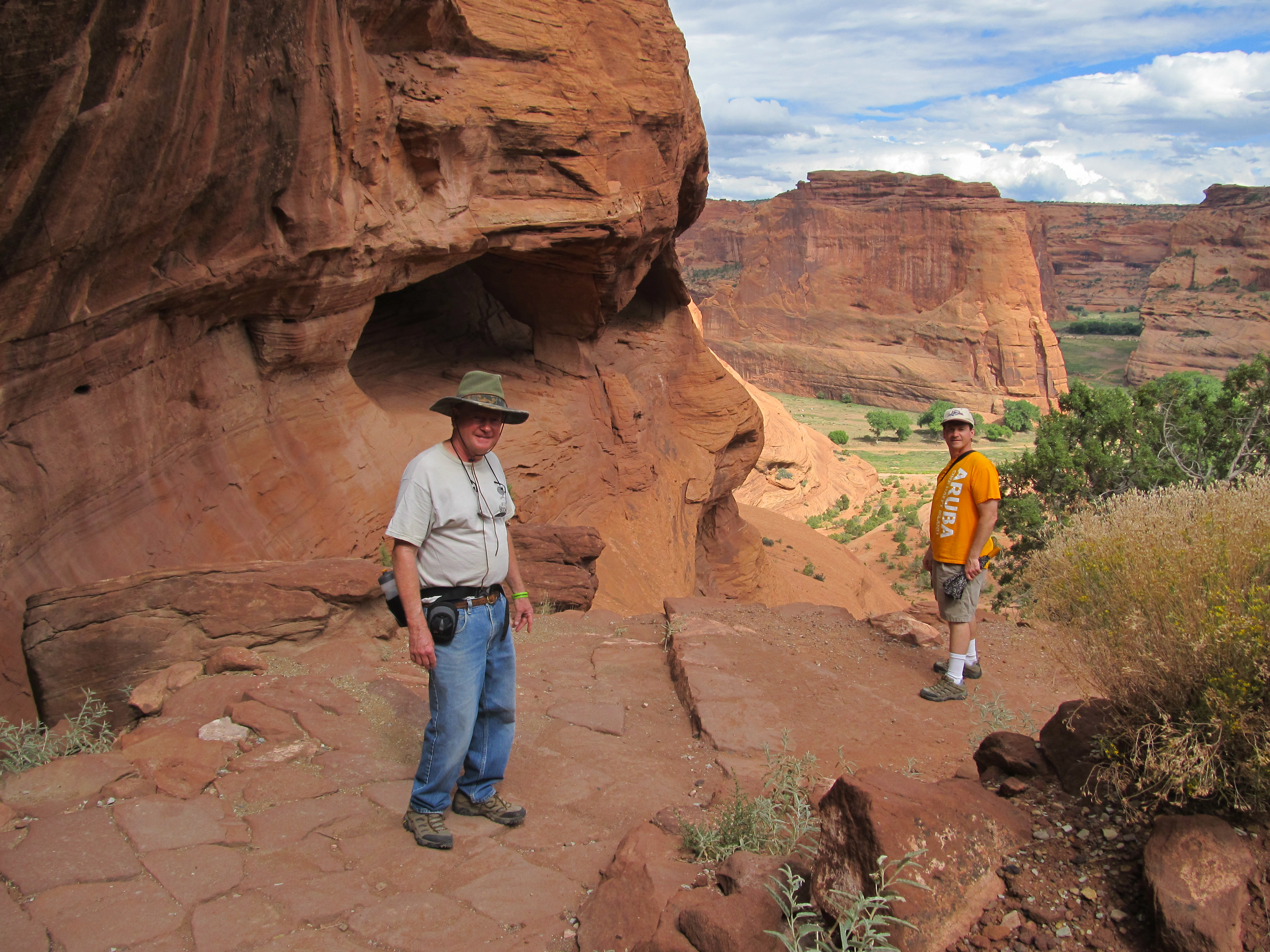
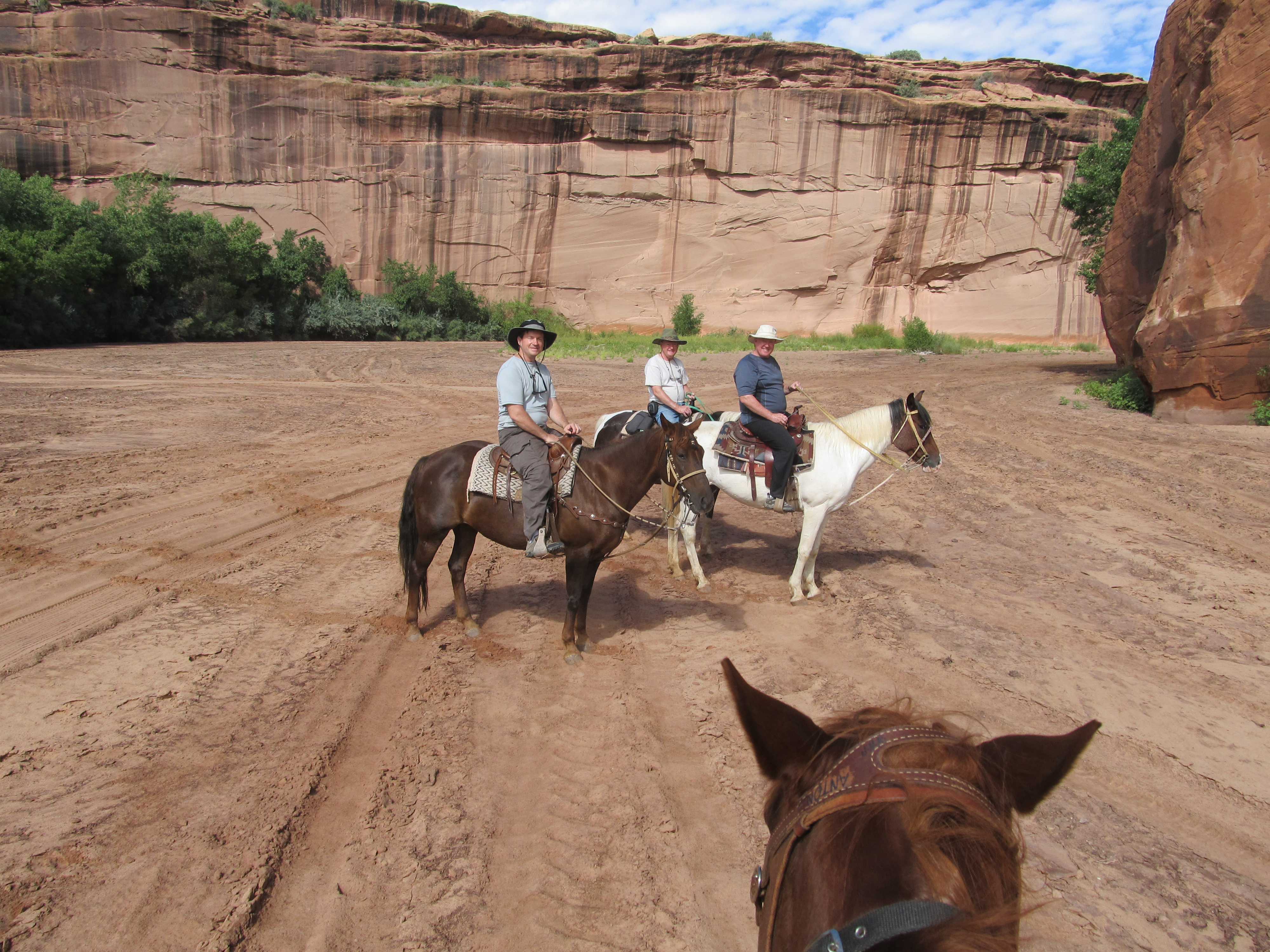 Riding in Canyon DeChelly
|
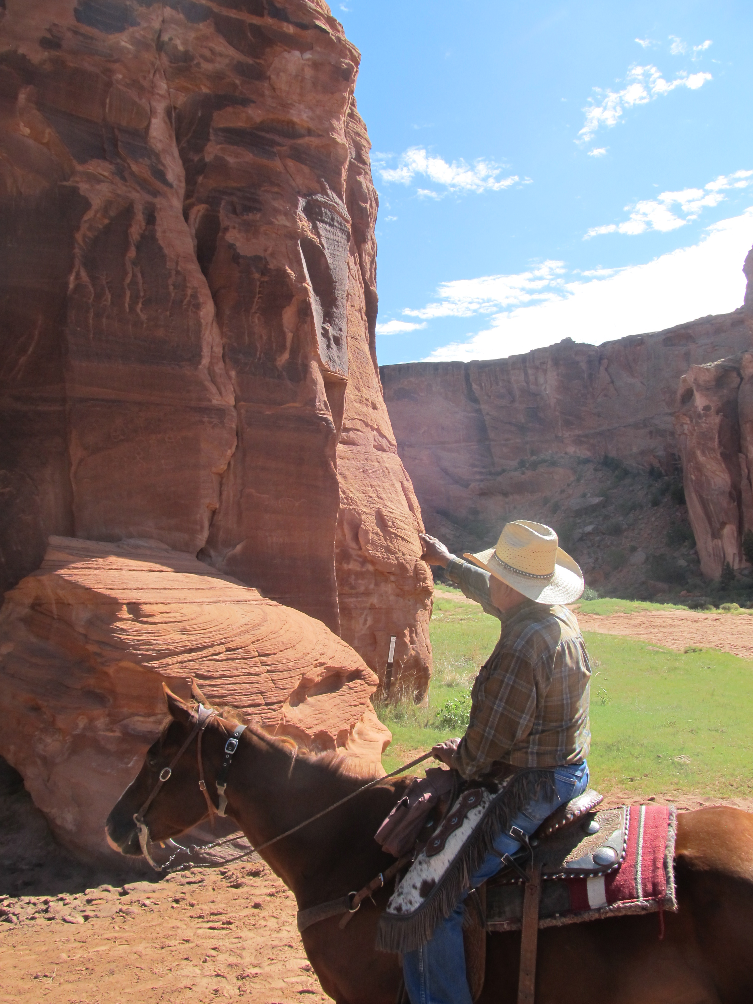 Justin Tso - our Navajo Guide |
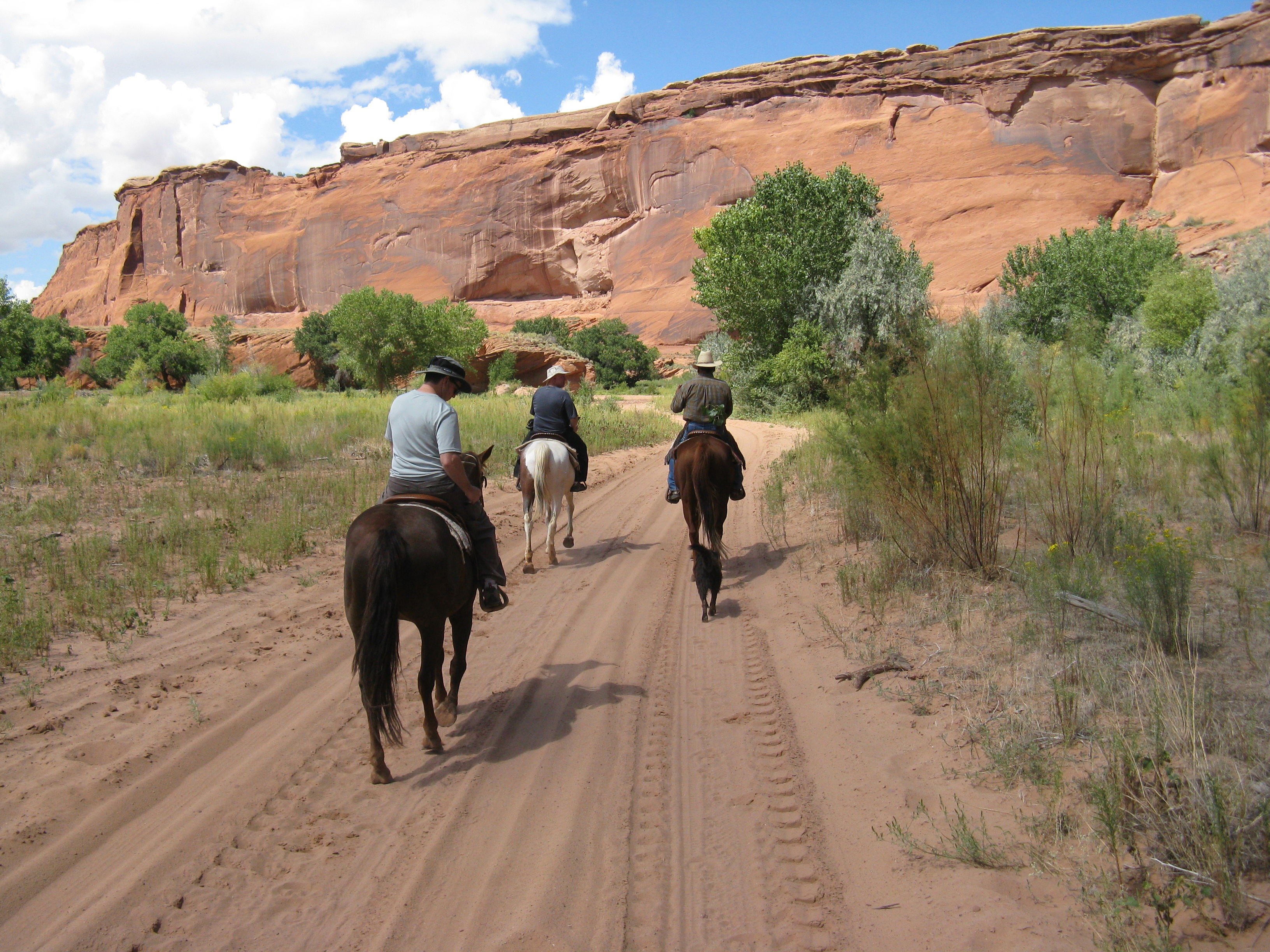 Riding in Canyon DeChelly
|
 White House ruins trail
|
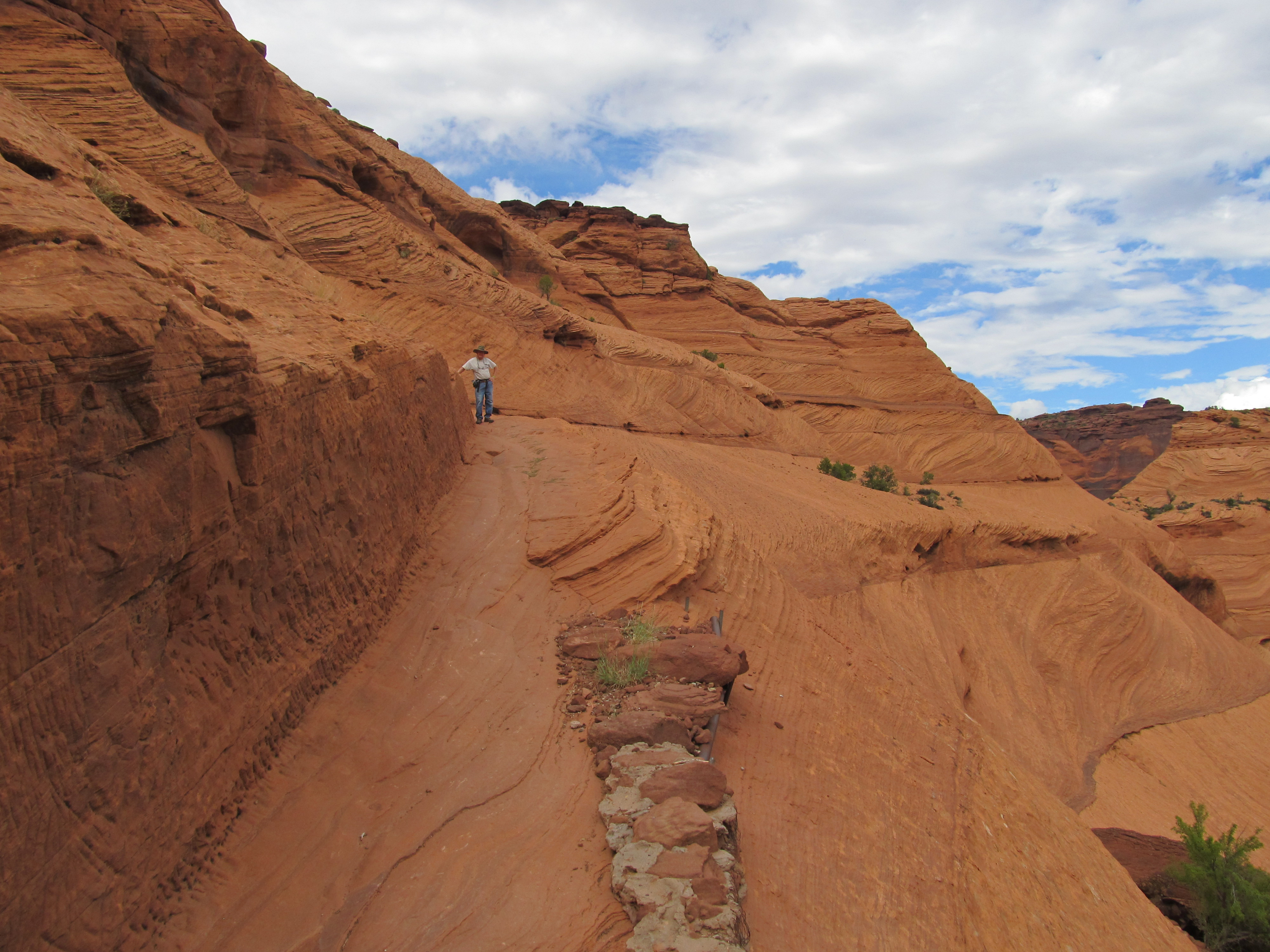 White House ruins trail
|
 White House ruins
|
 Click for video of White House Ruins overlook |
 Click for video of White House Trail |
 Click for video of White House Trail tunnel |
 Click for video of White House Ruins |
 Click for video of Tsegi Overlook |
 Click for video of North Rim overlook |
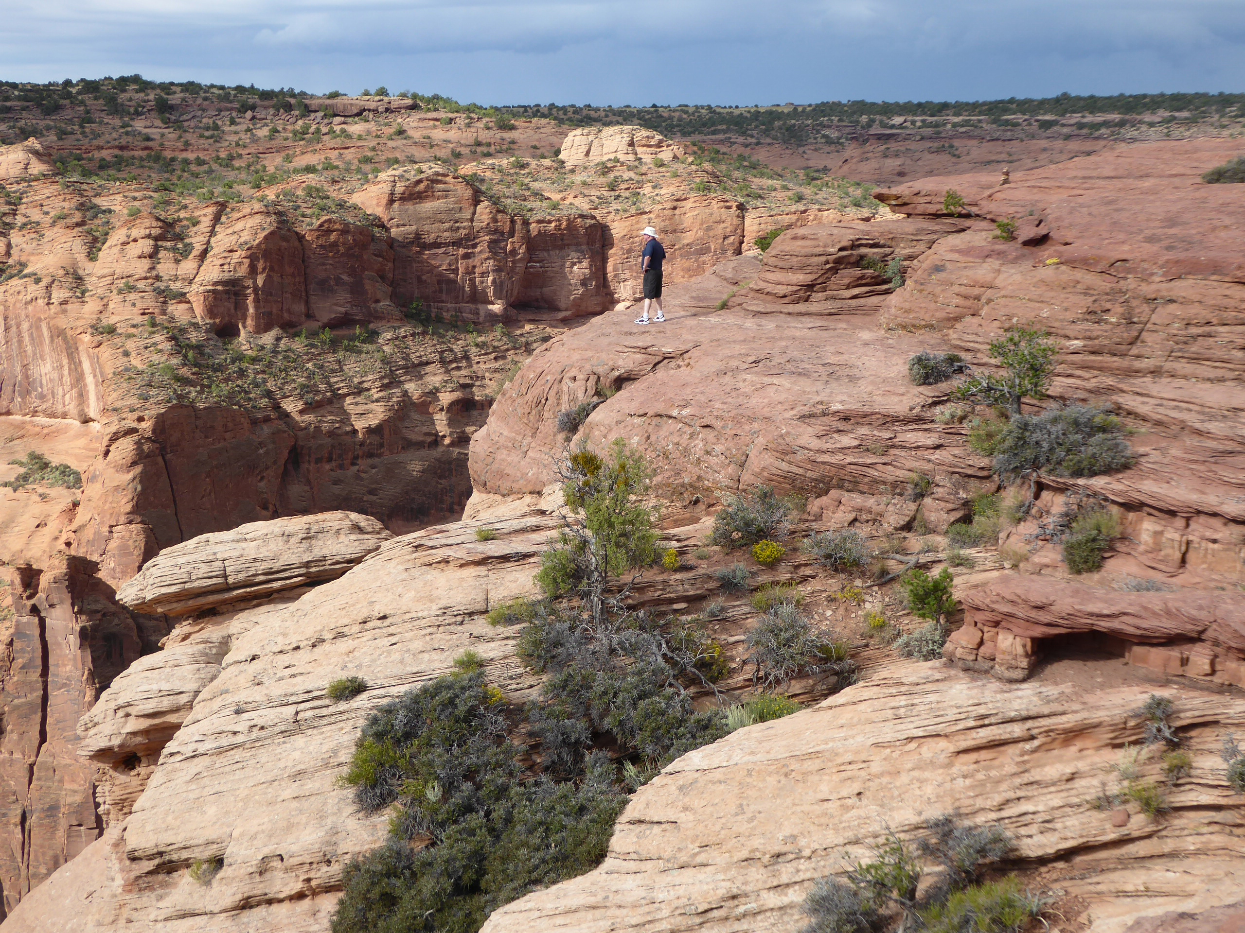
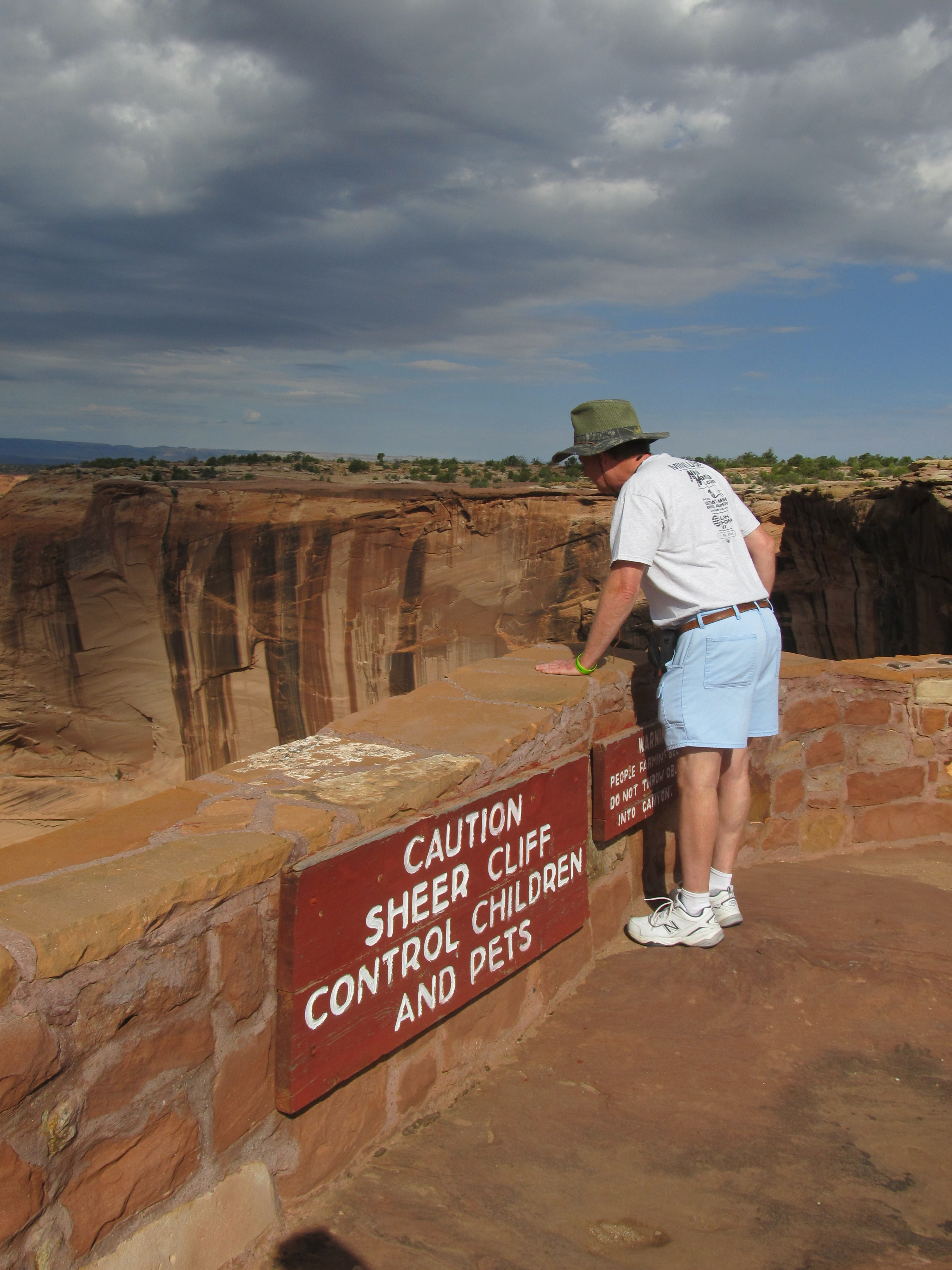 South Rim Overlooks |
 Spider Rock overlook |
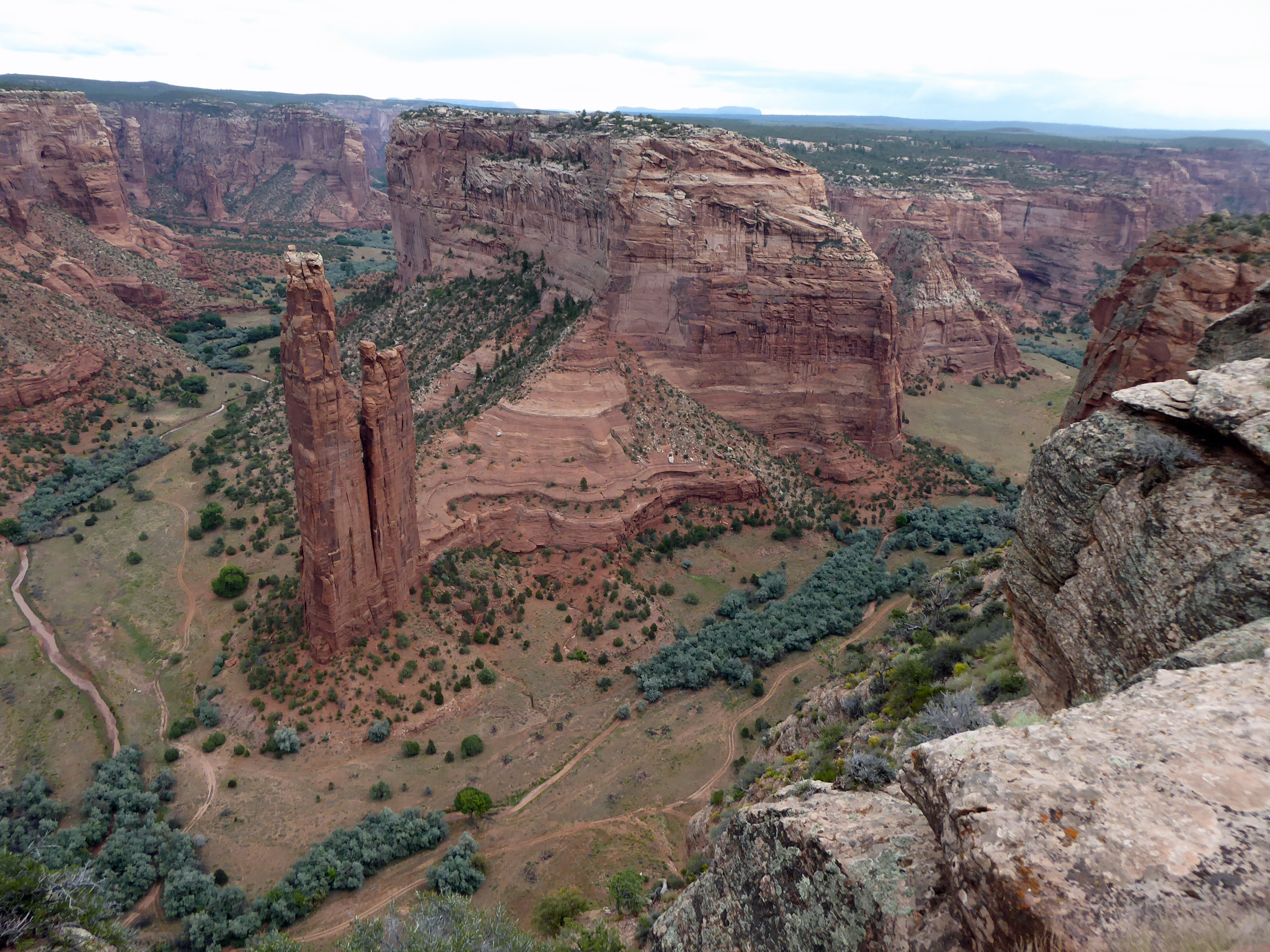 Spider Rock |
 Face Rock overlook |
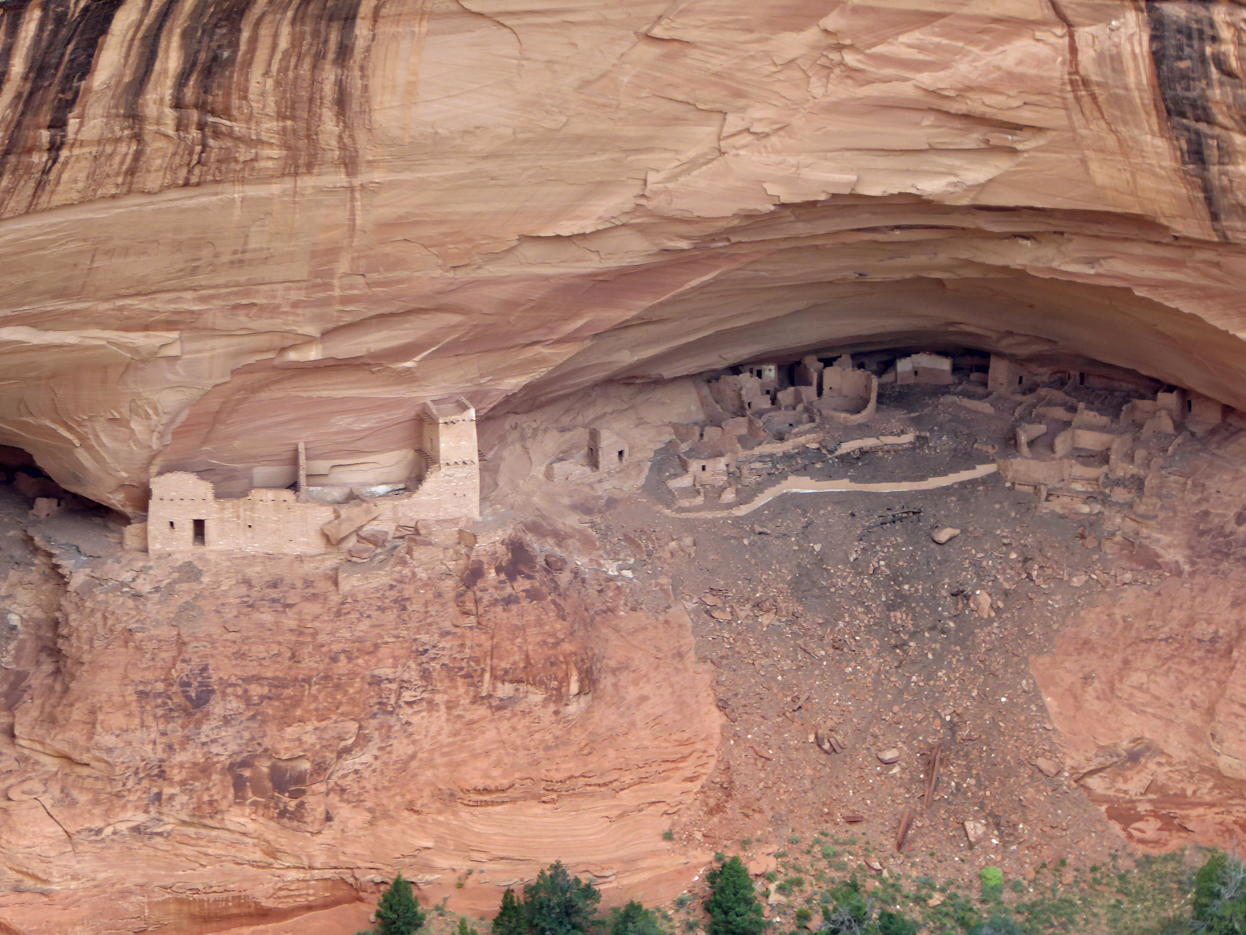
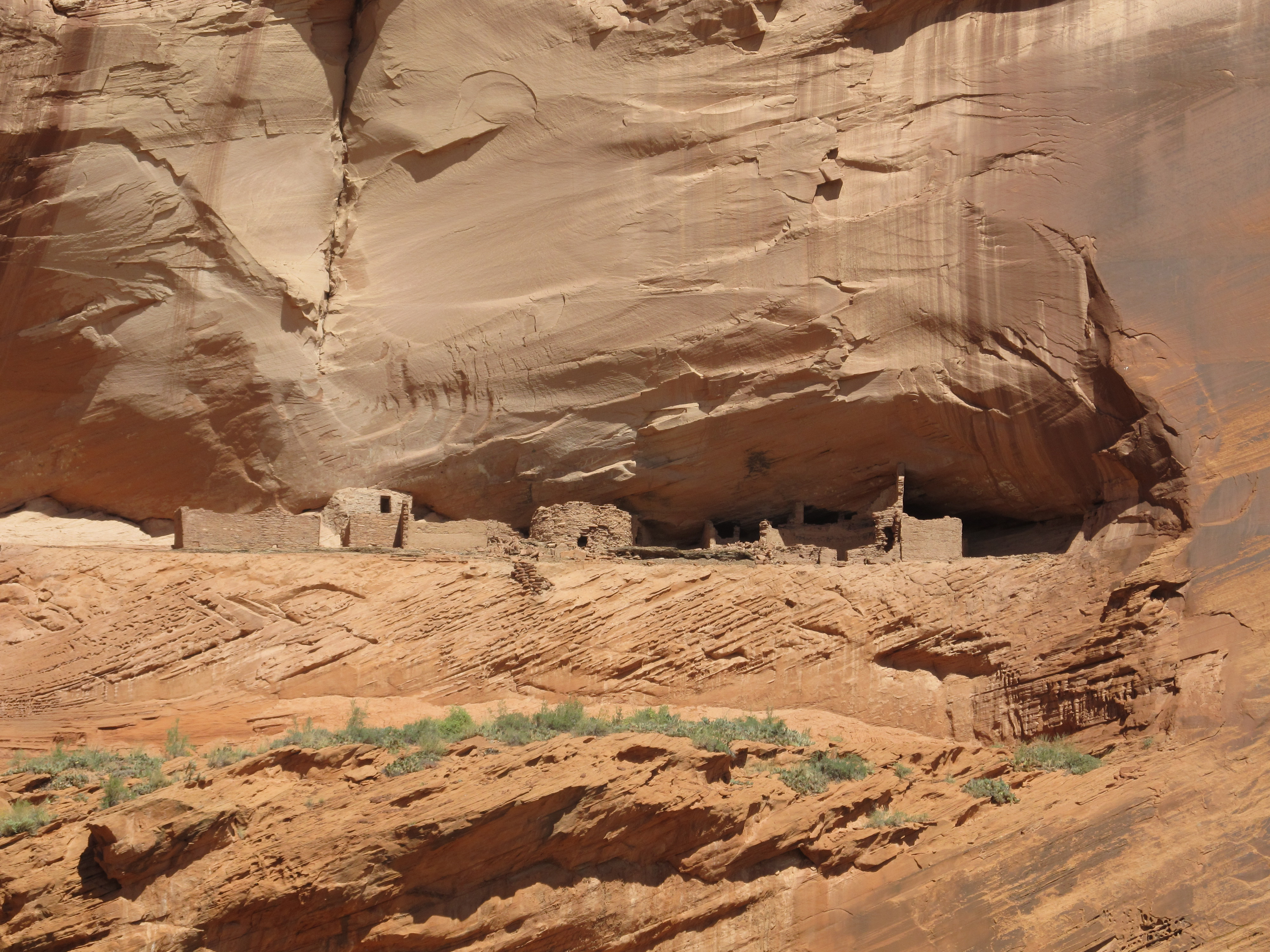 Anasazi Ruins |
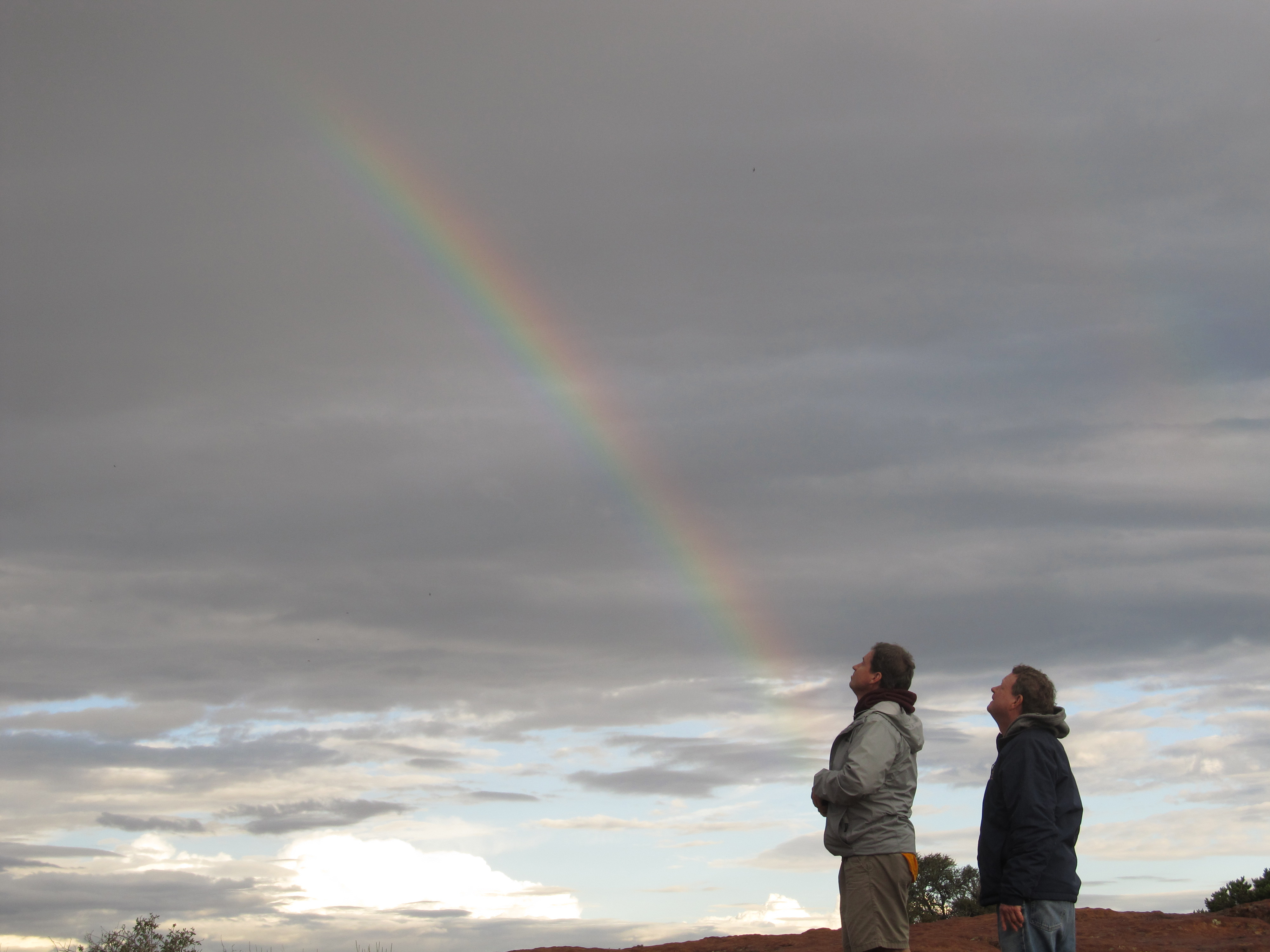 Rainbow on the South Rim |
 Anasazi Ruins from North Rim of DeChelly |
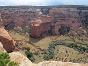
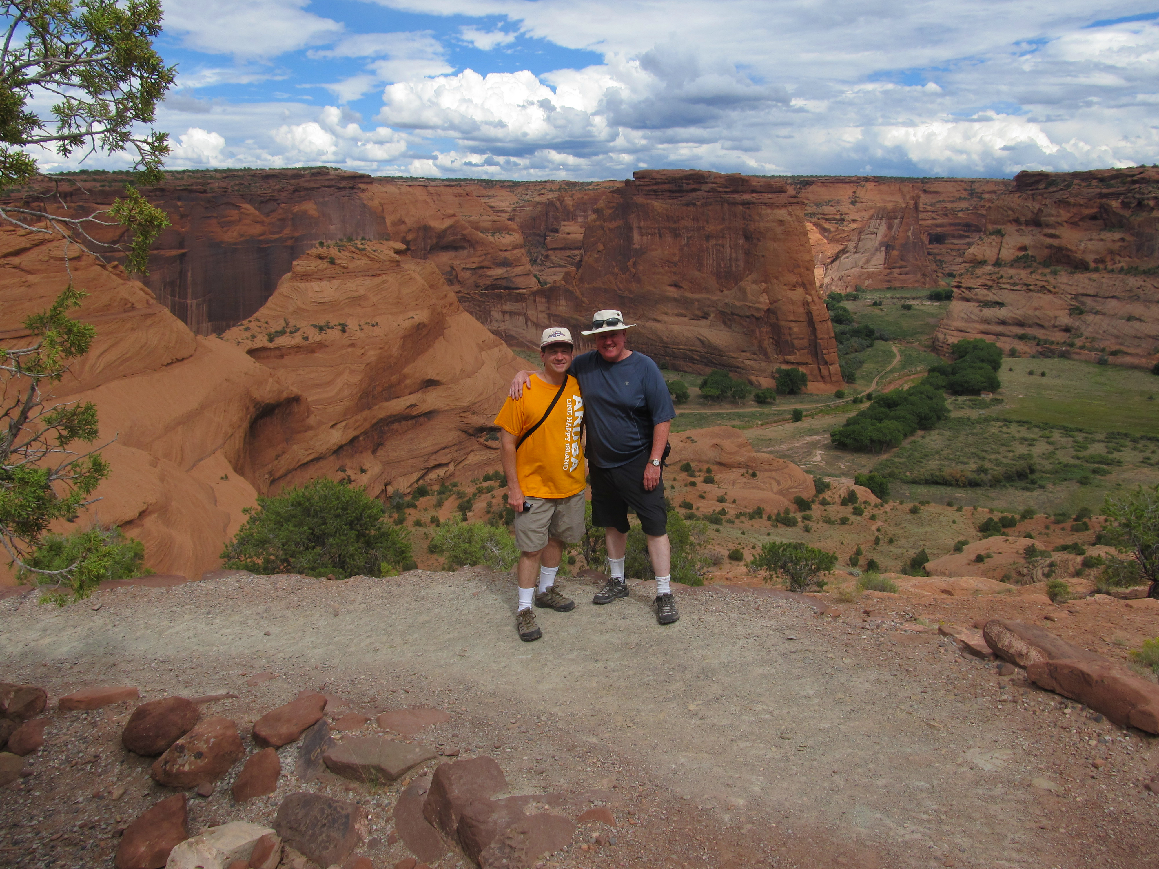
 Canyon DeChelly from North Rim |
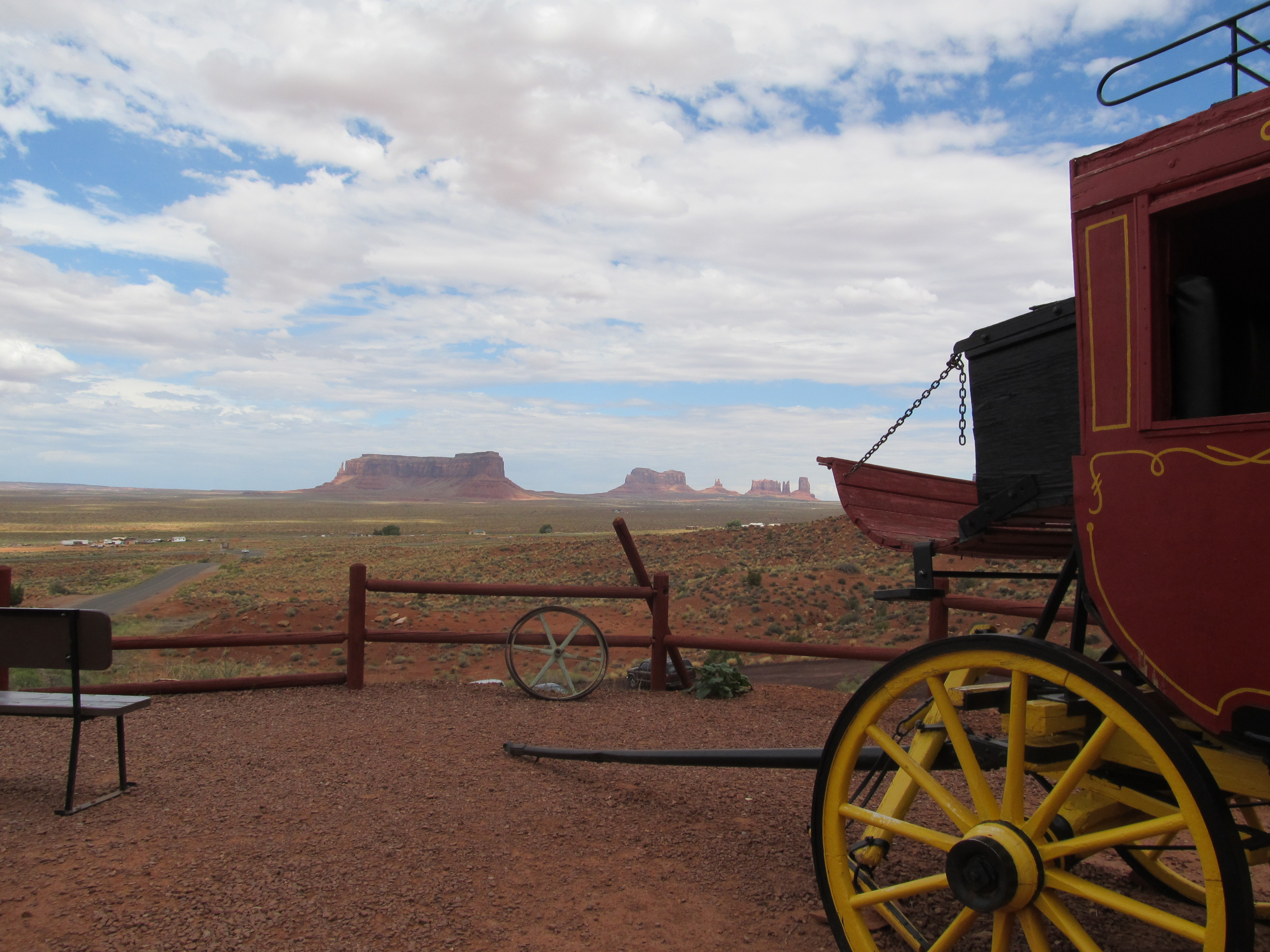
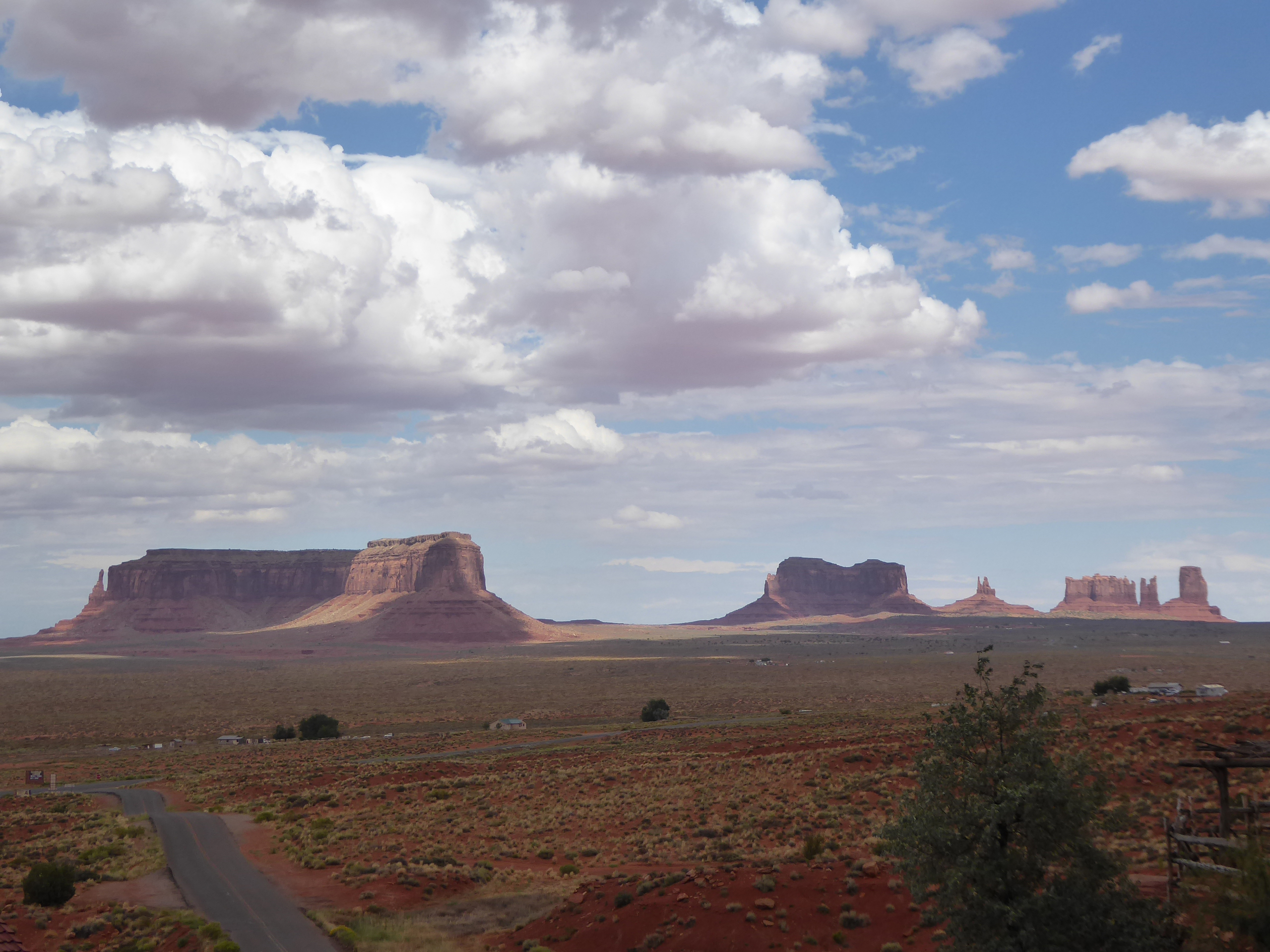
 Click for video of approach to Monument Valley |
 Goulding's Lodge |
 View from Goulding's Lodge |
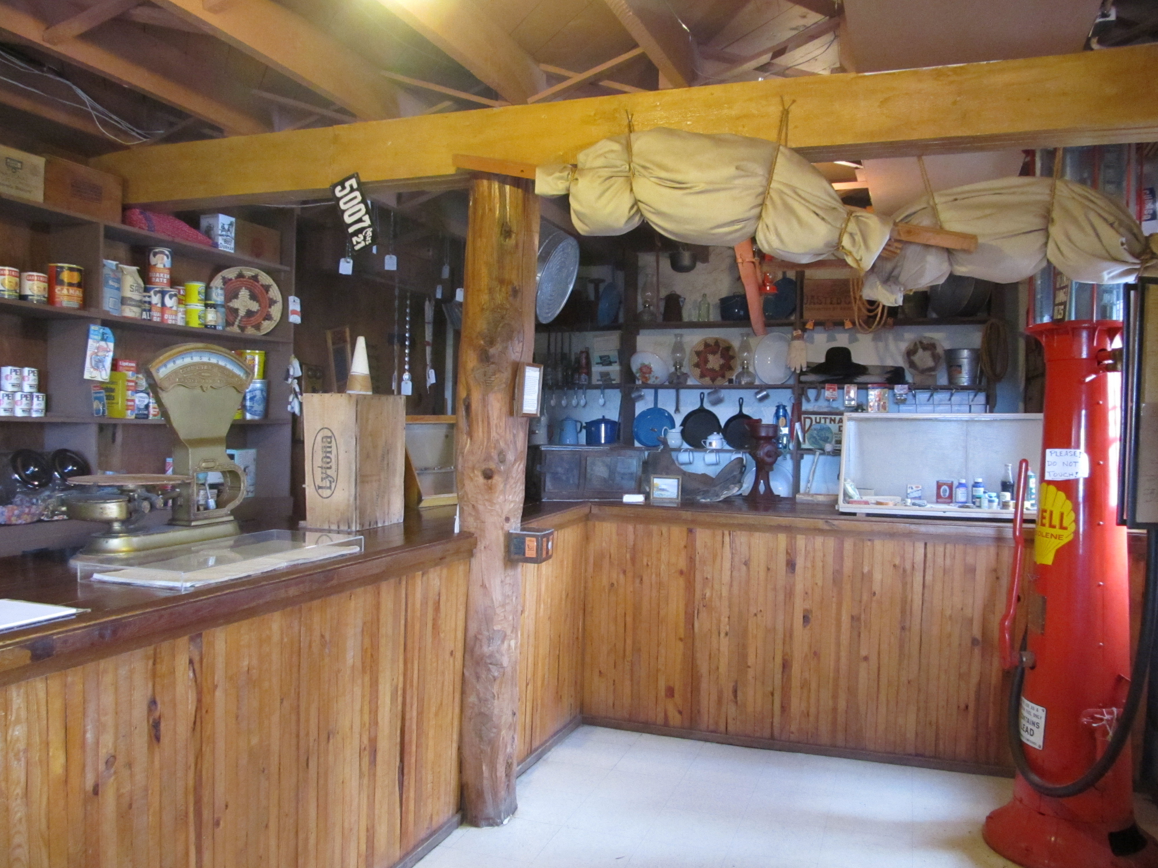 Goulding's Trading Post |
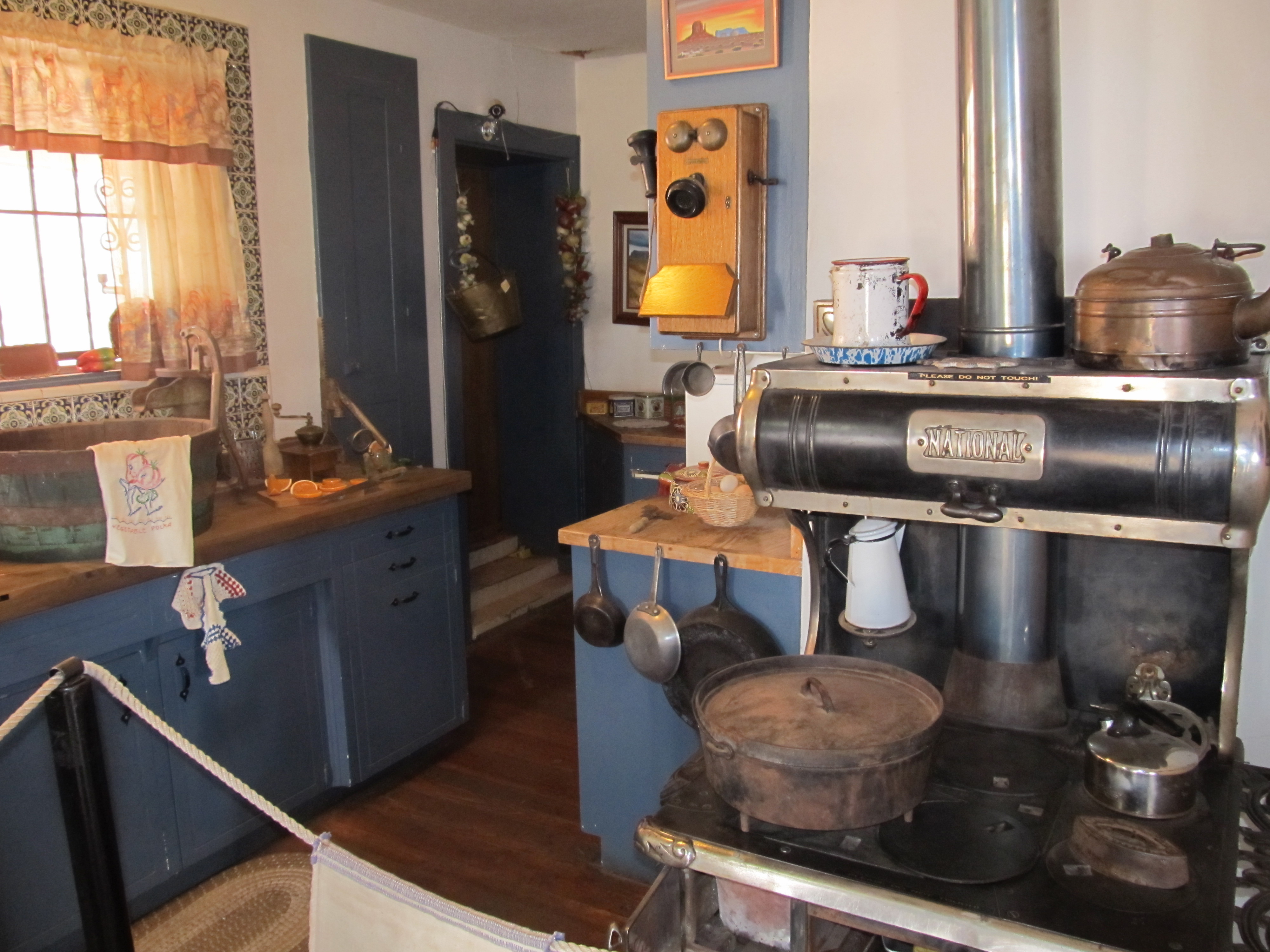 Goulding's Museum |
 View from Goulding's Lodge |
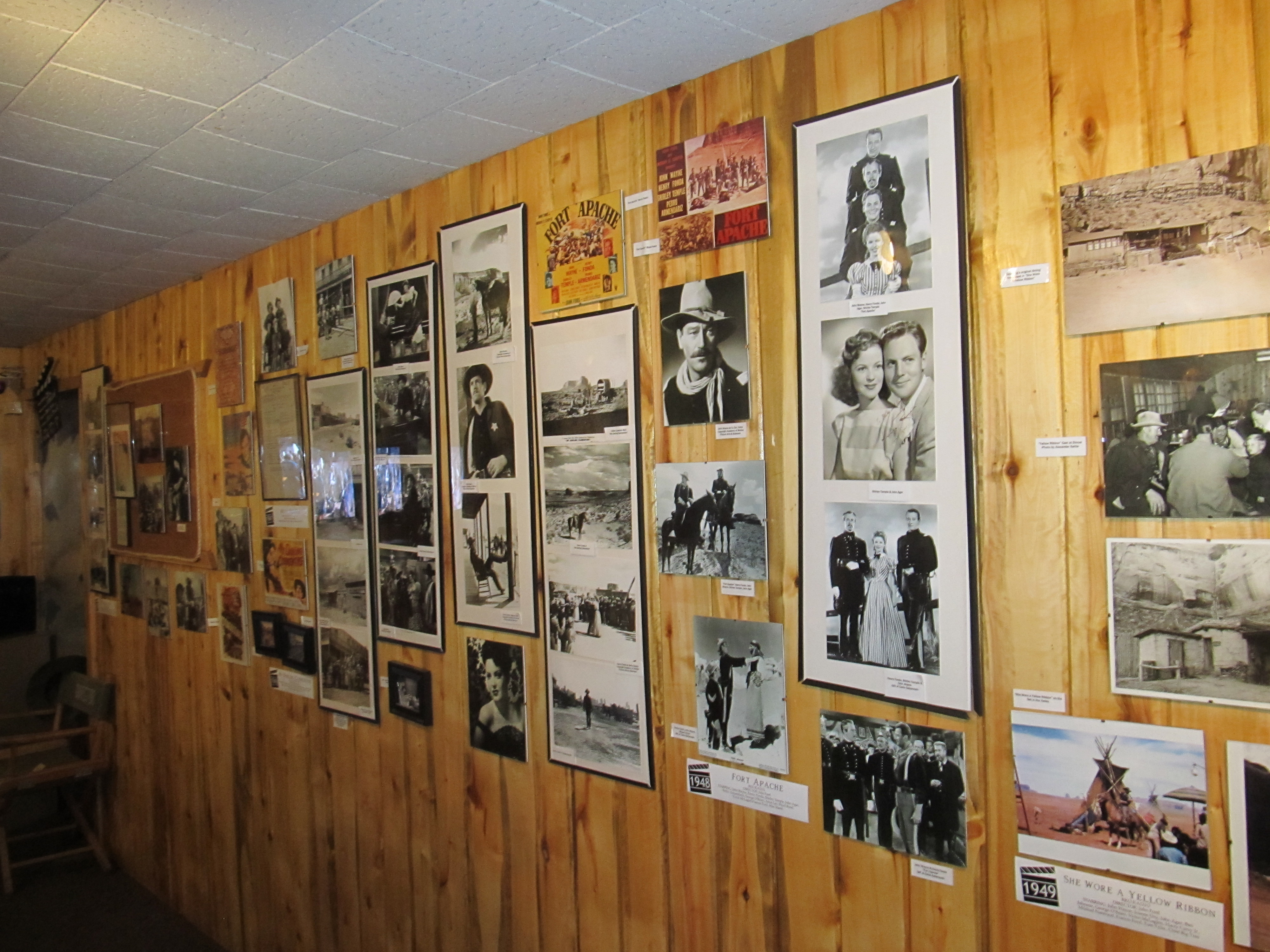 Goulding's Movie Museum |
Click for video of driving view from Goulding's Lodge |
 Click for video of view from Restaurant porch |
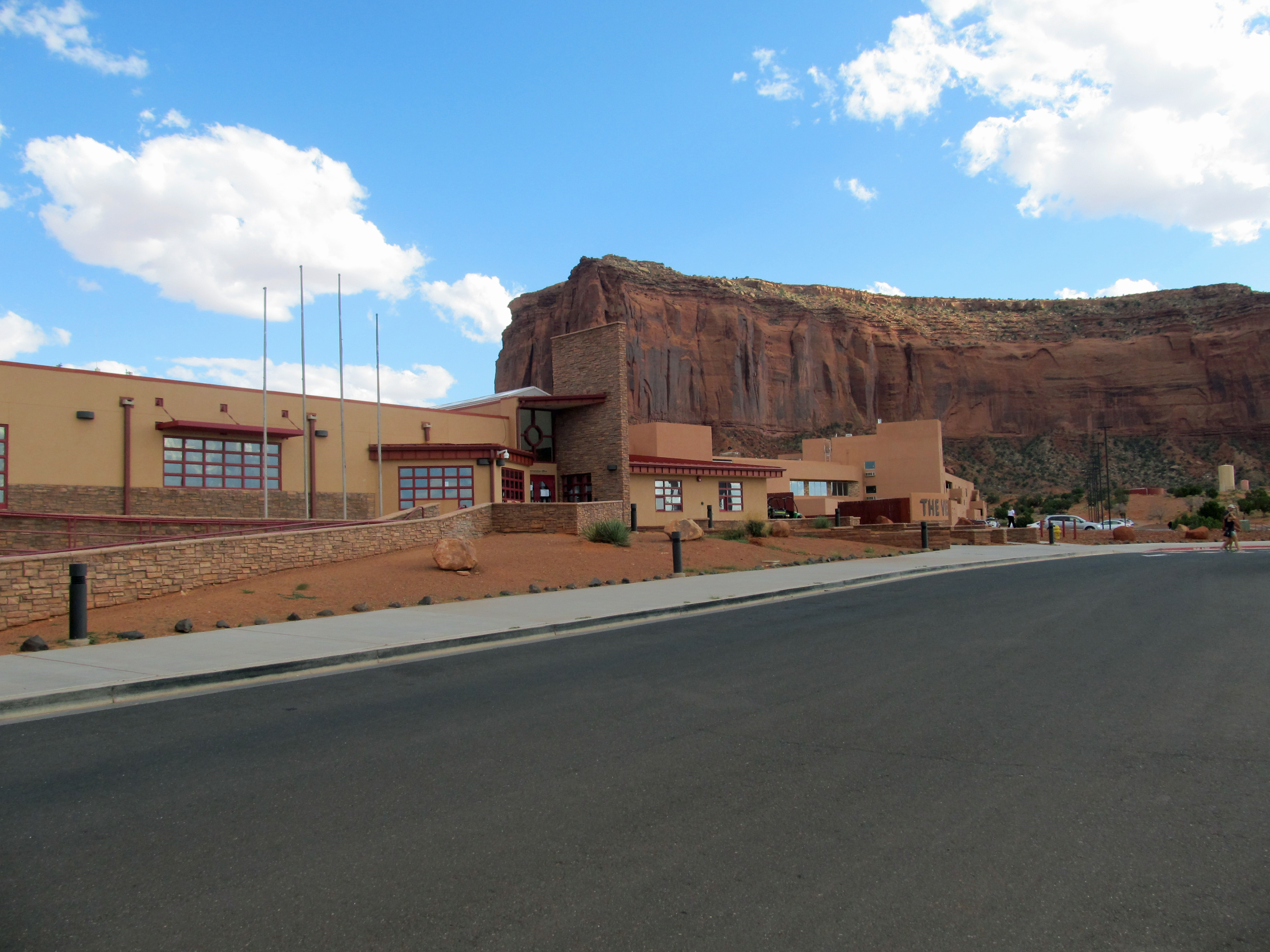 Monument Valley Navajo Tribal Park Hotel |
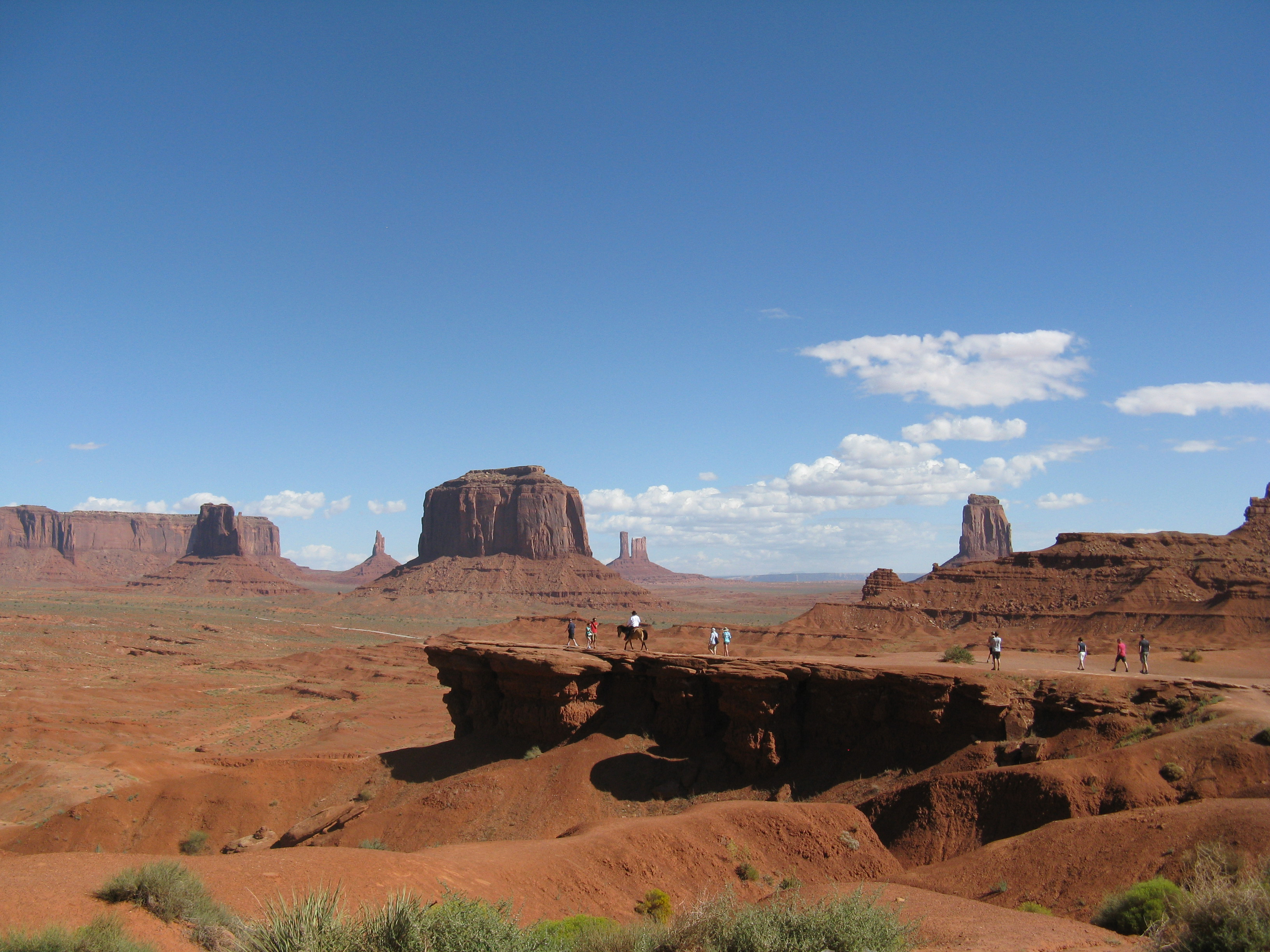
 Click photo for panorama view |
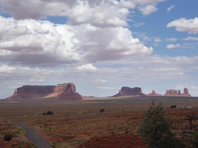
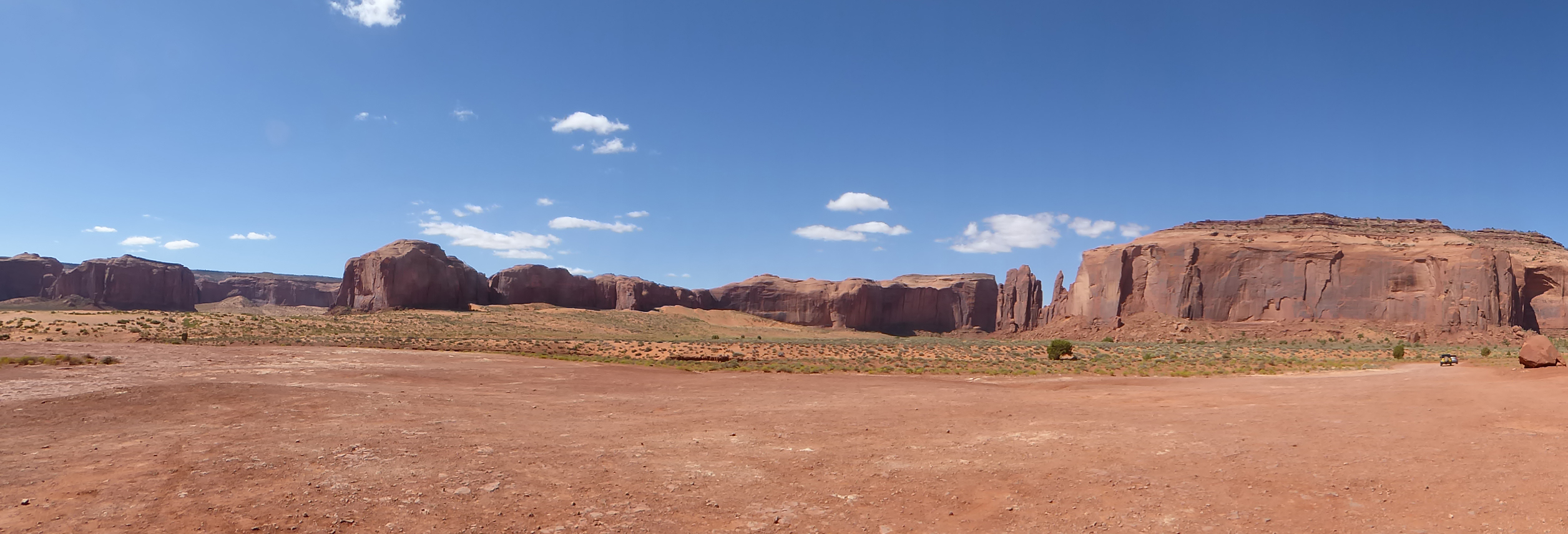
 Monument Valley Navajo Tribal Park |
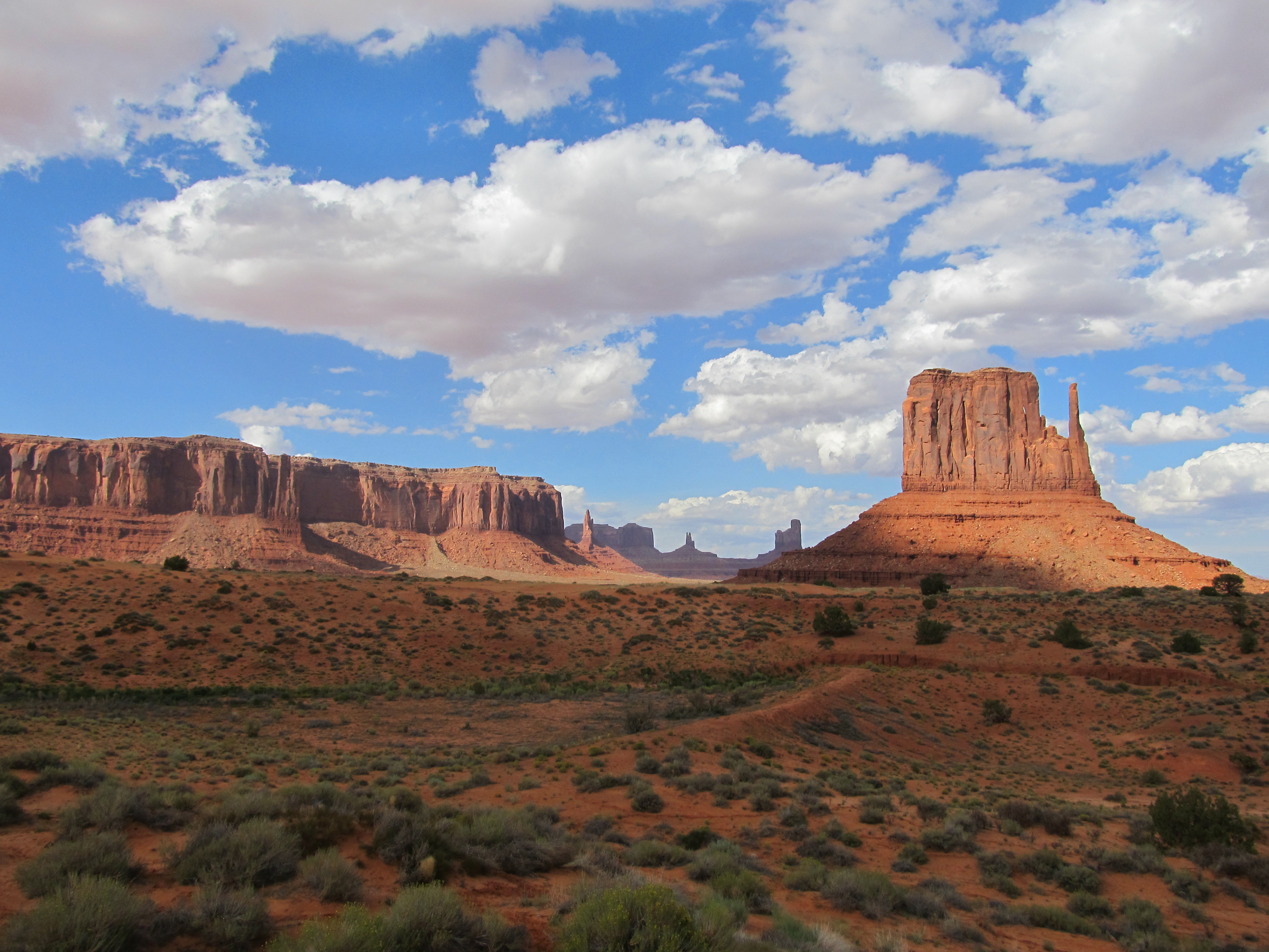 Monument Valley Navajo Tribal Park |
 Tom & Jim at Monument Valley |
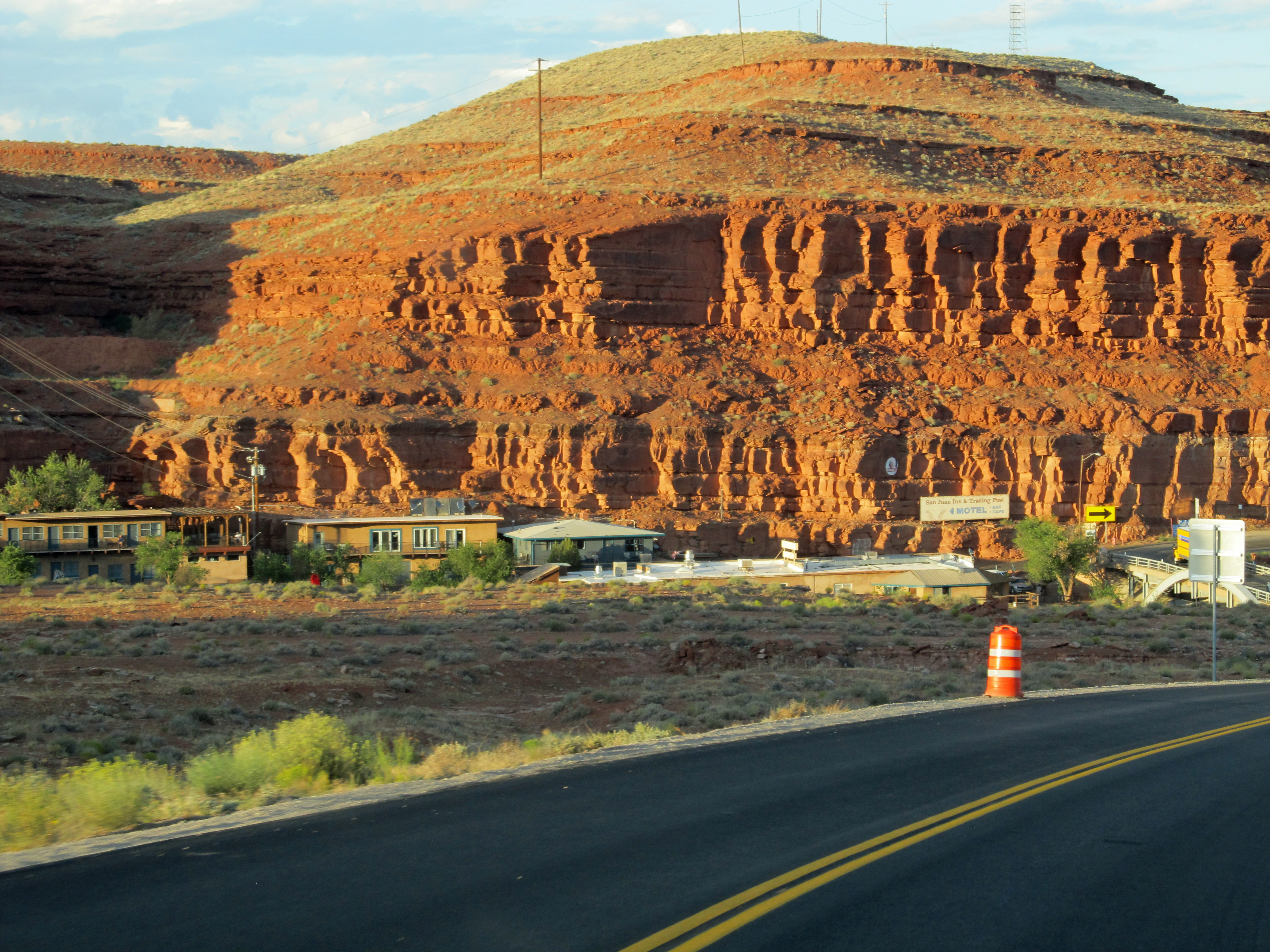 San Juan Inn in Mexican Hat |
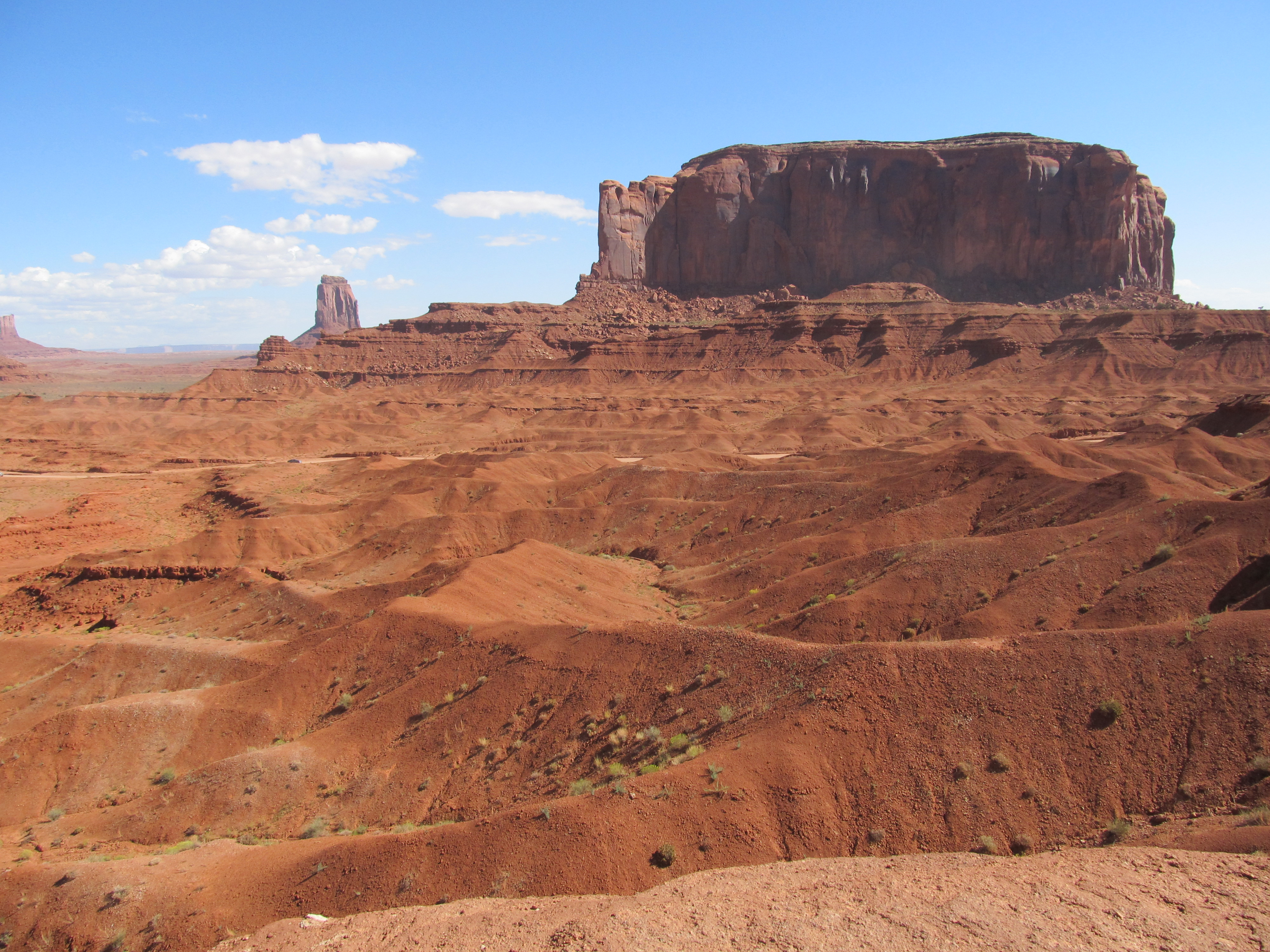
 John Ford's Point |
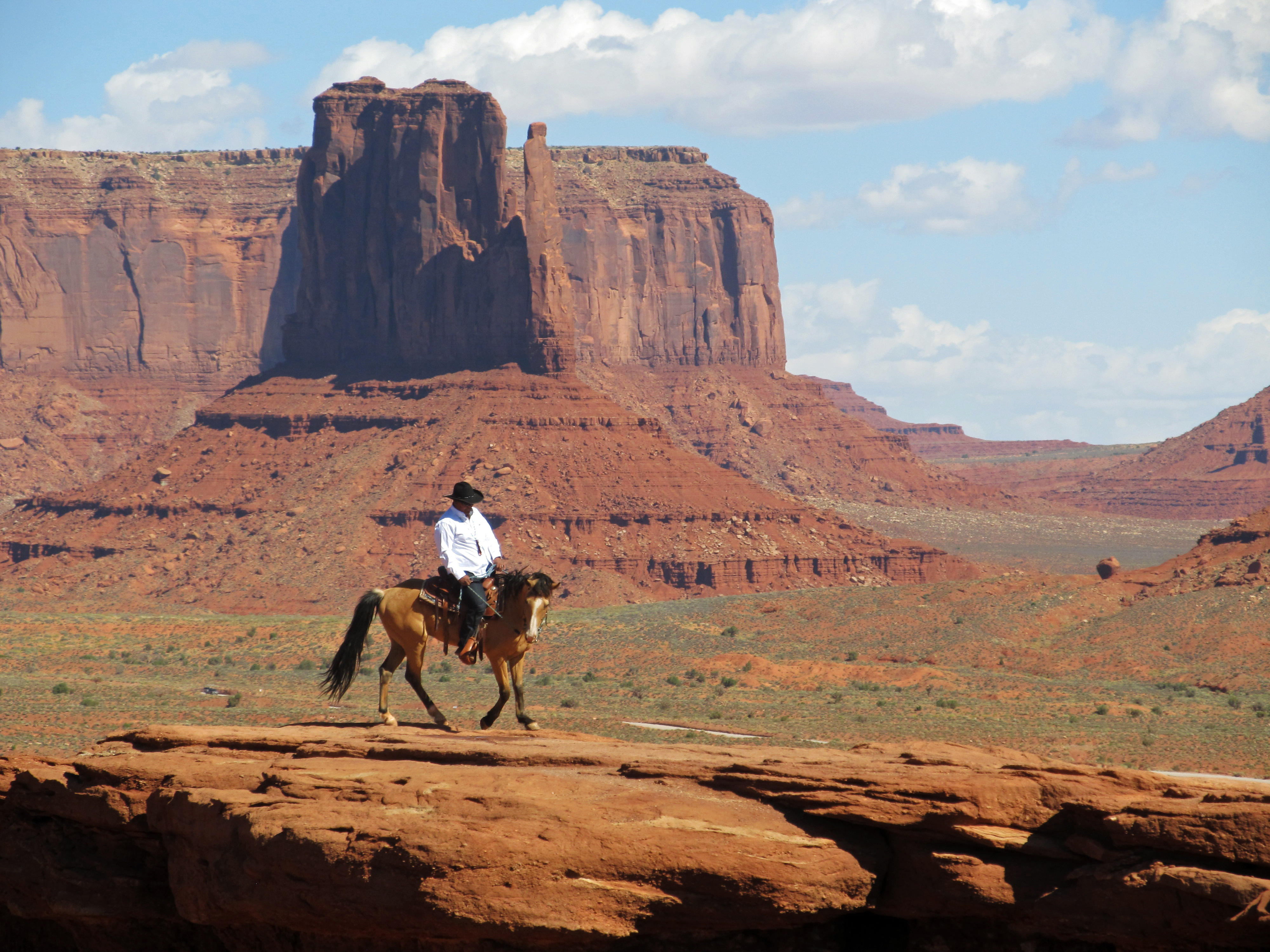 John Ford's Point |
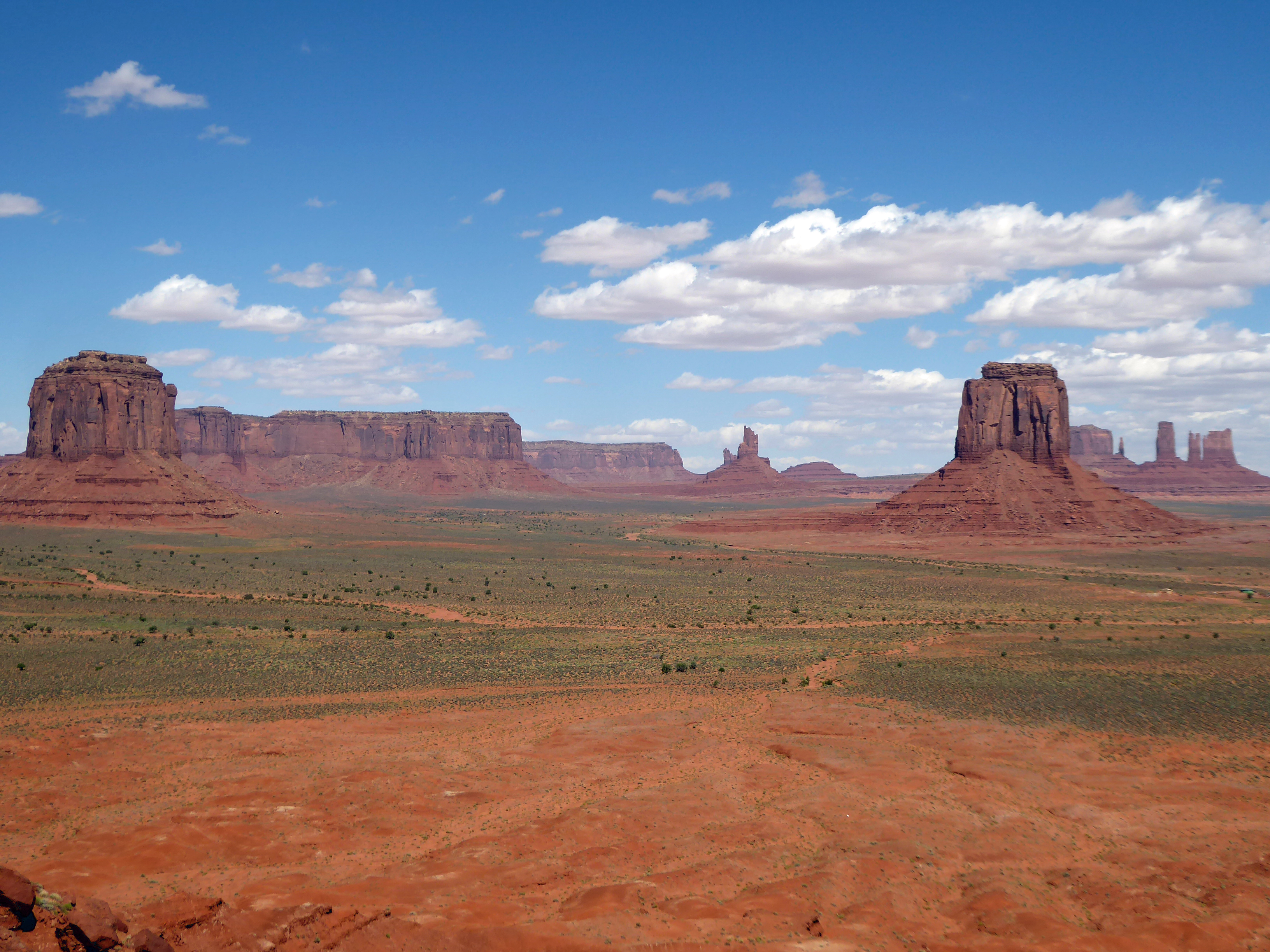 Artist Point / Monument Valley |
 Artist Point / Monument Valley |
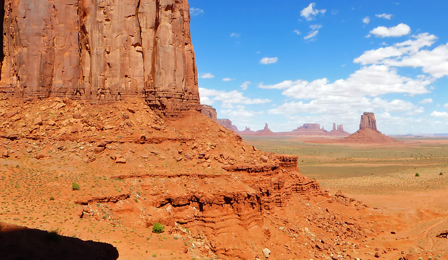
 Monument Valley drive
|
 Monument Valley drive ("The Cube" rock) |
 Monument Valley drive
|
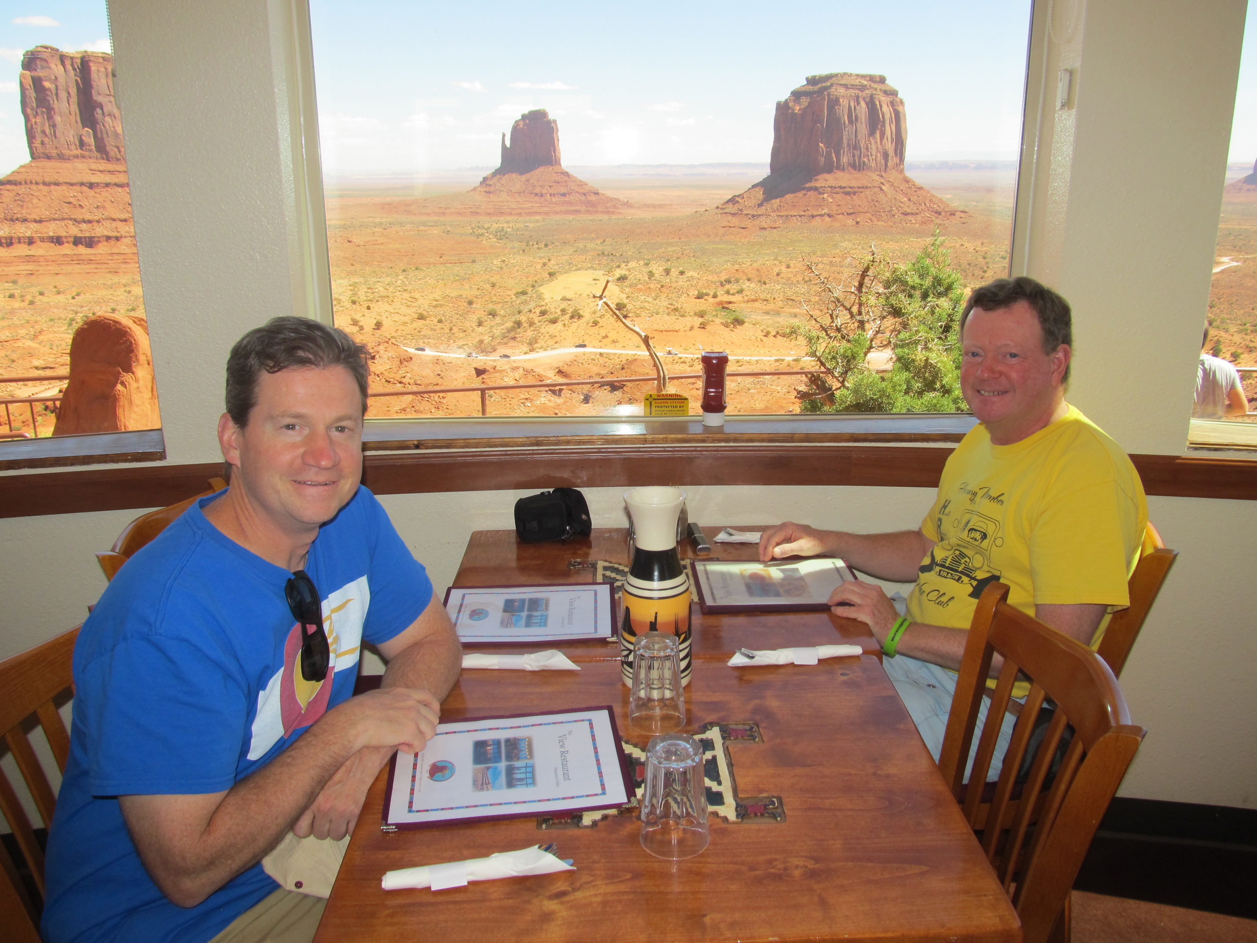 Dinner at Monument Valley |
 Click for video of Restaurant view |
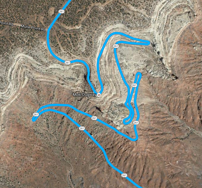 Moki Dugway |
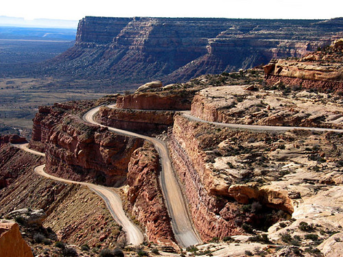 Moki Dugway |
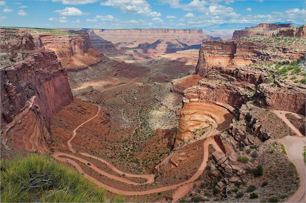 Moki Dugway |  Click to view video |
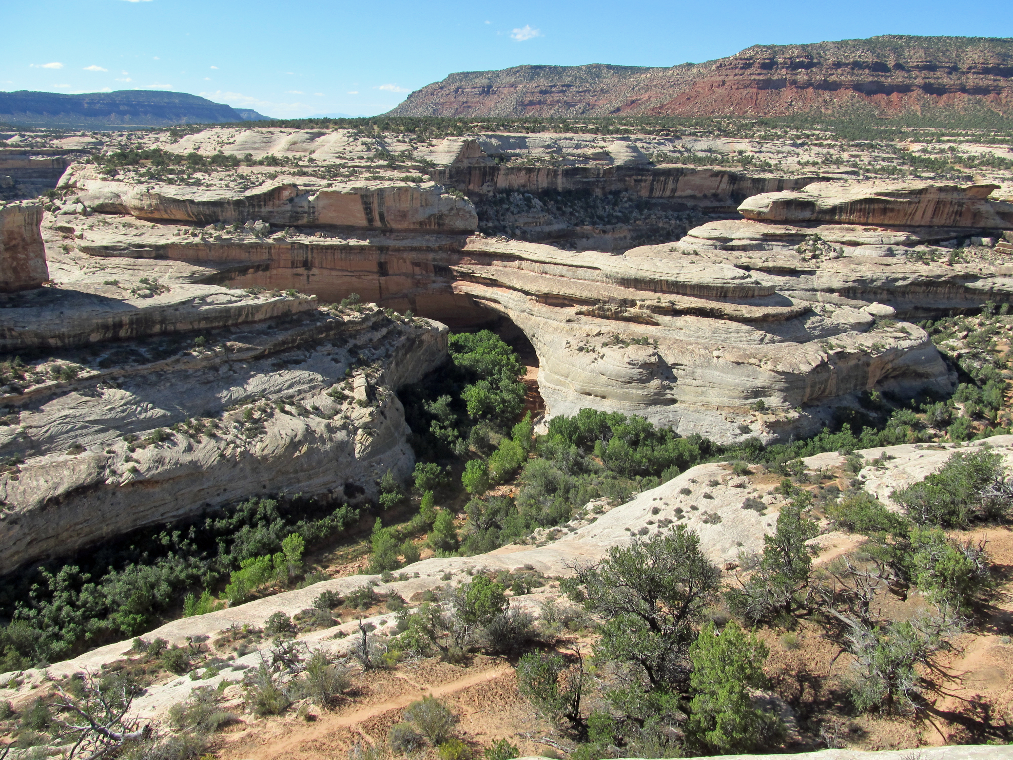
 Natural Bridges National Monument |
 Kachina Bridge |
 Sipapu Bridge | 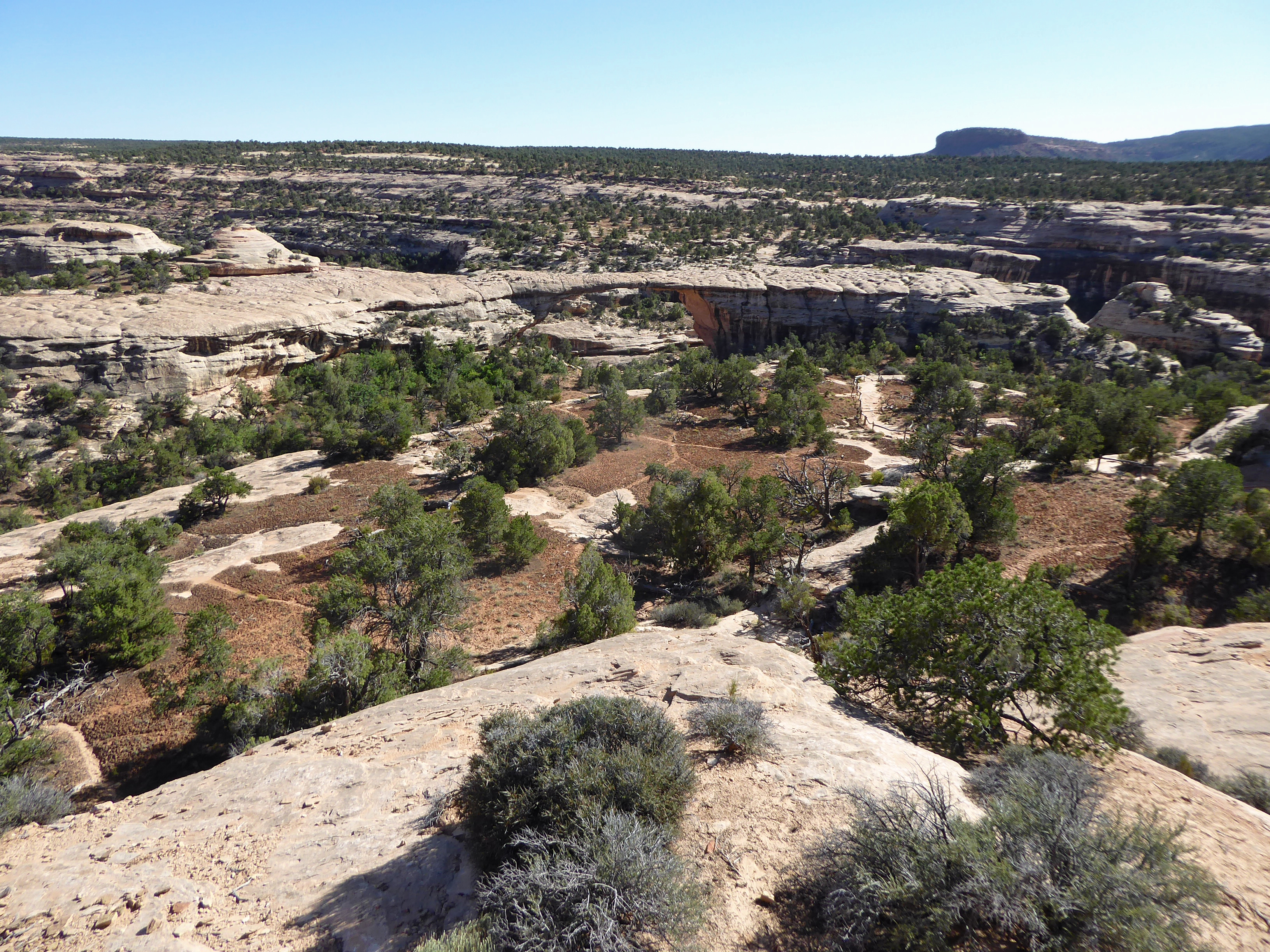 Owachomo Bridge |
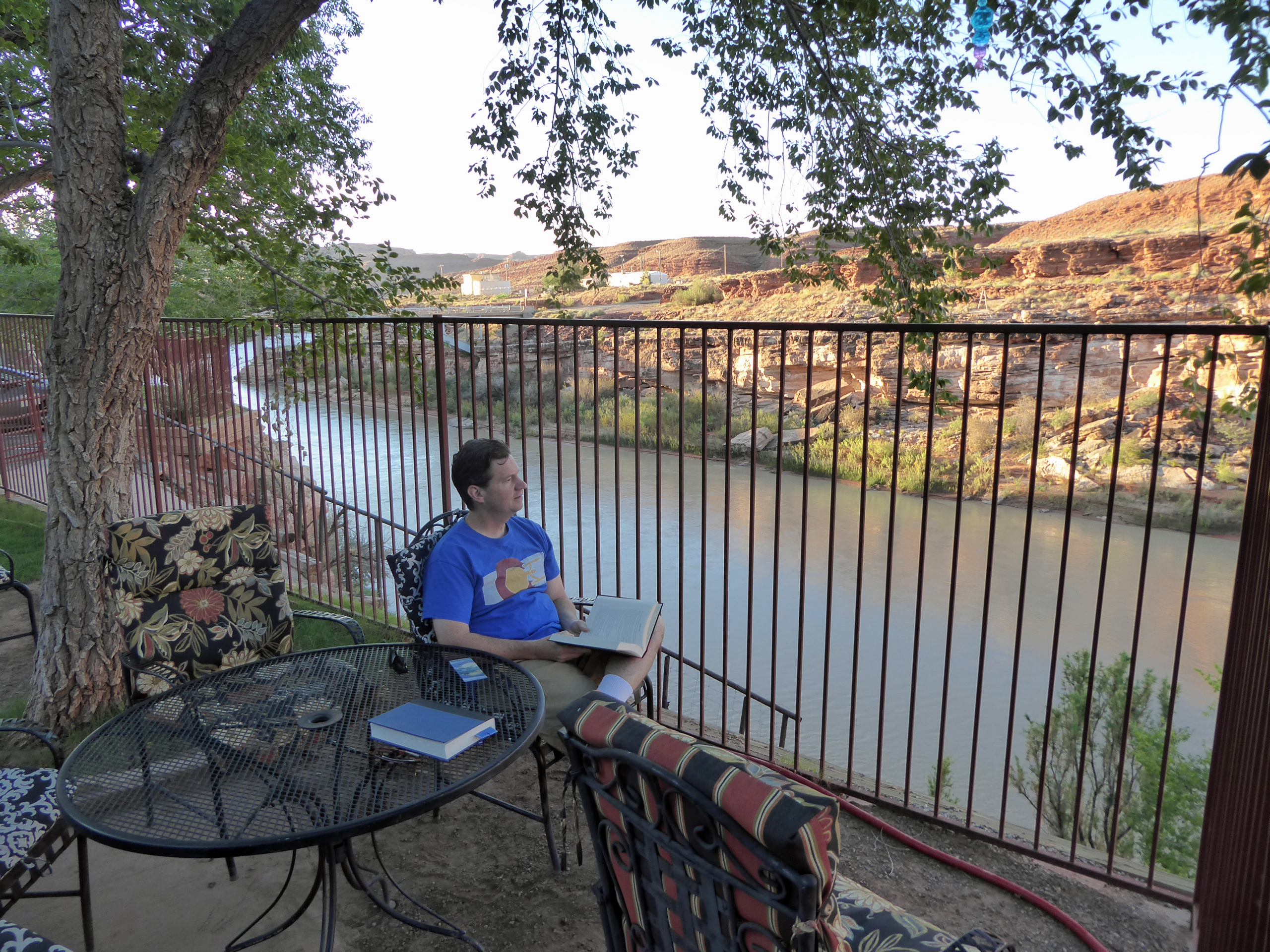 Tom reading at the San Juan Inn |
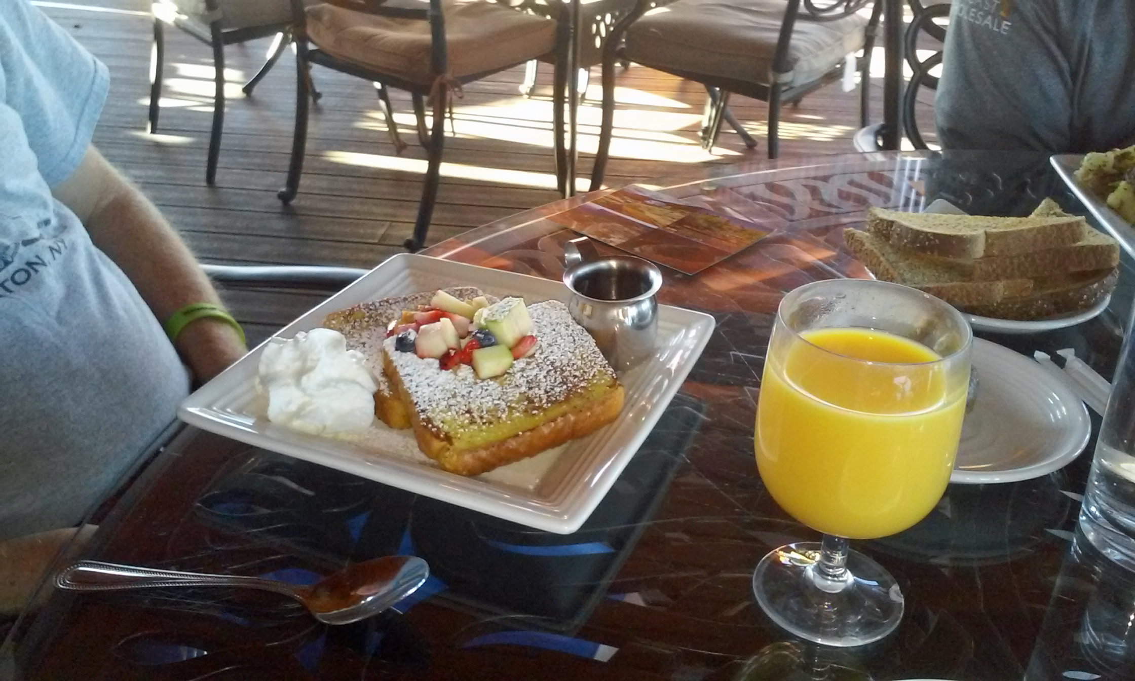 Breakfast at Duke's Lodge |
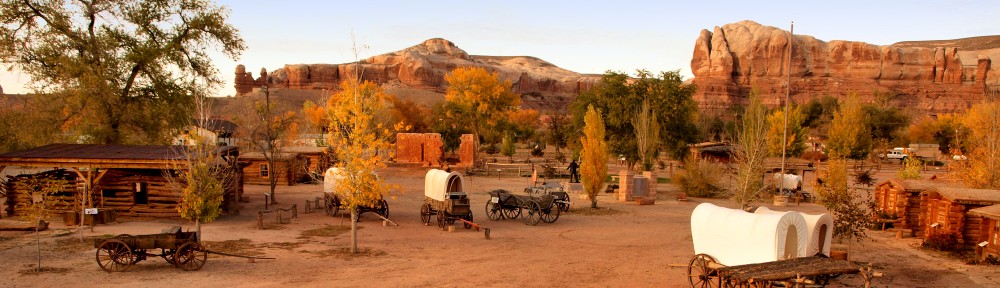 Bluff Fort
|
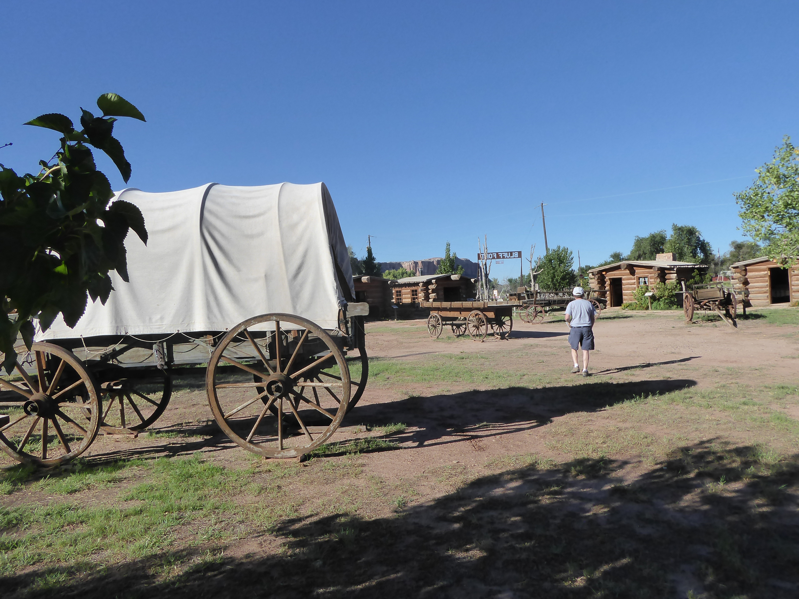 Bluff Fort |
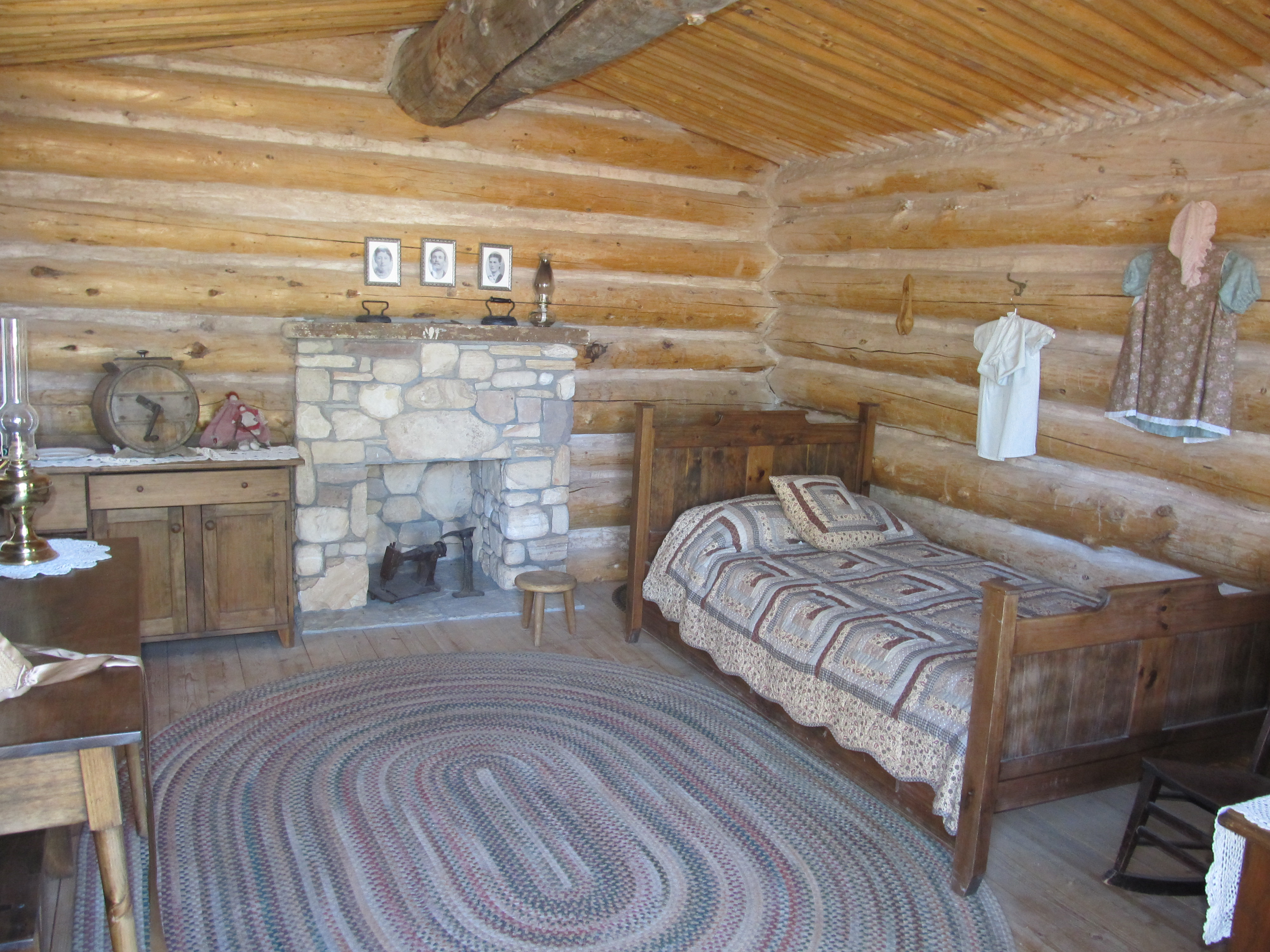 Bluff Fort |
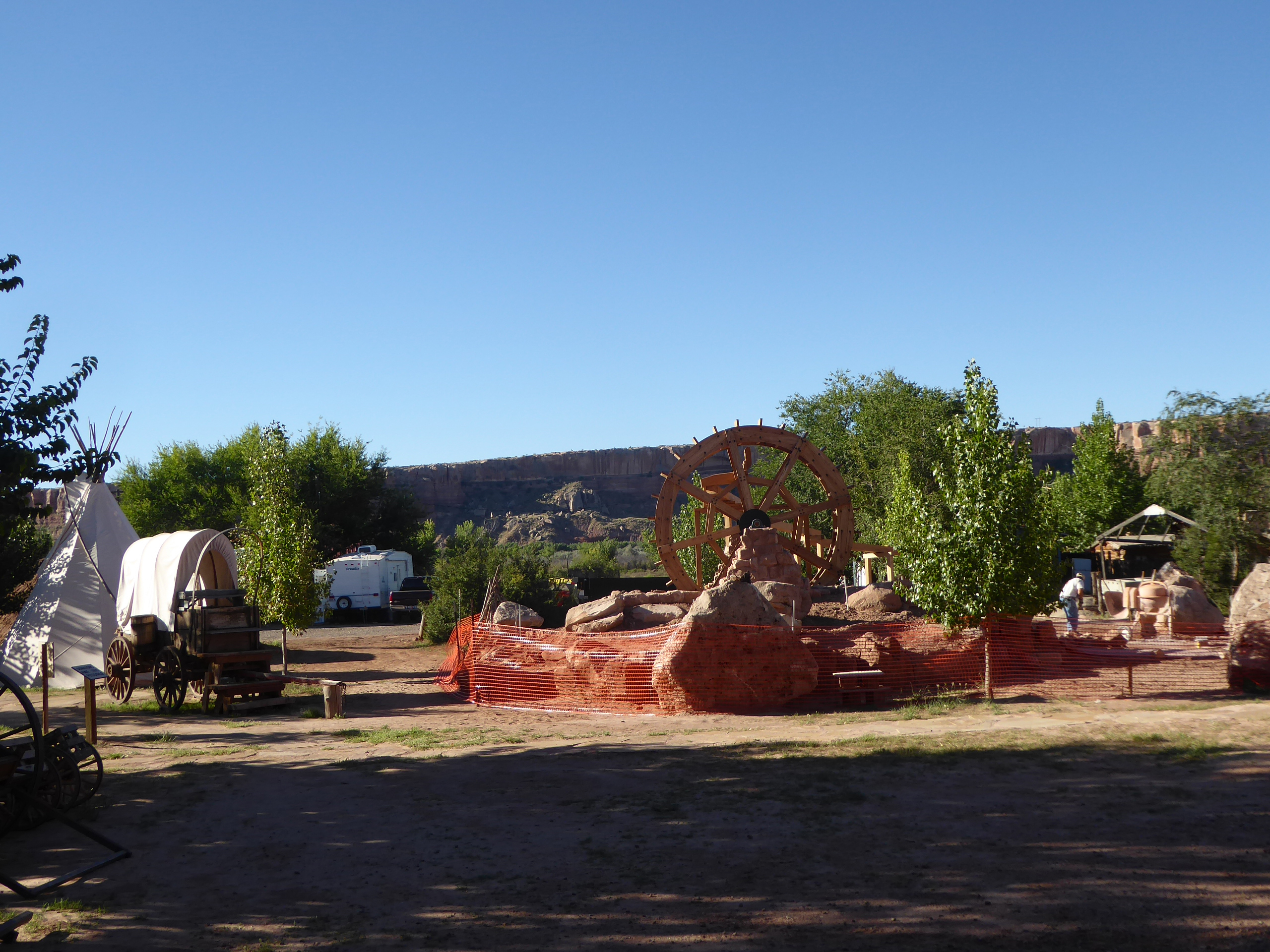 Bluff Fort |
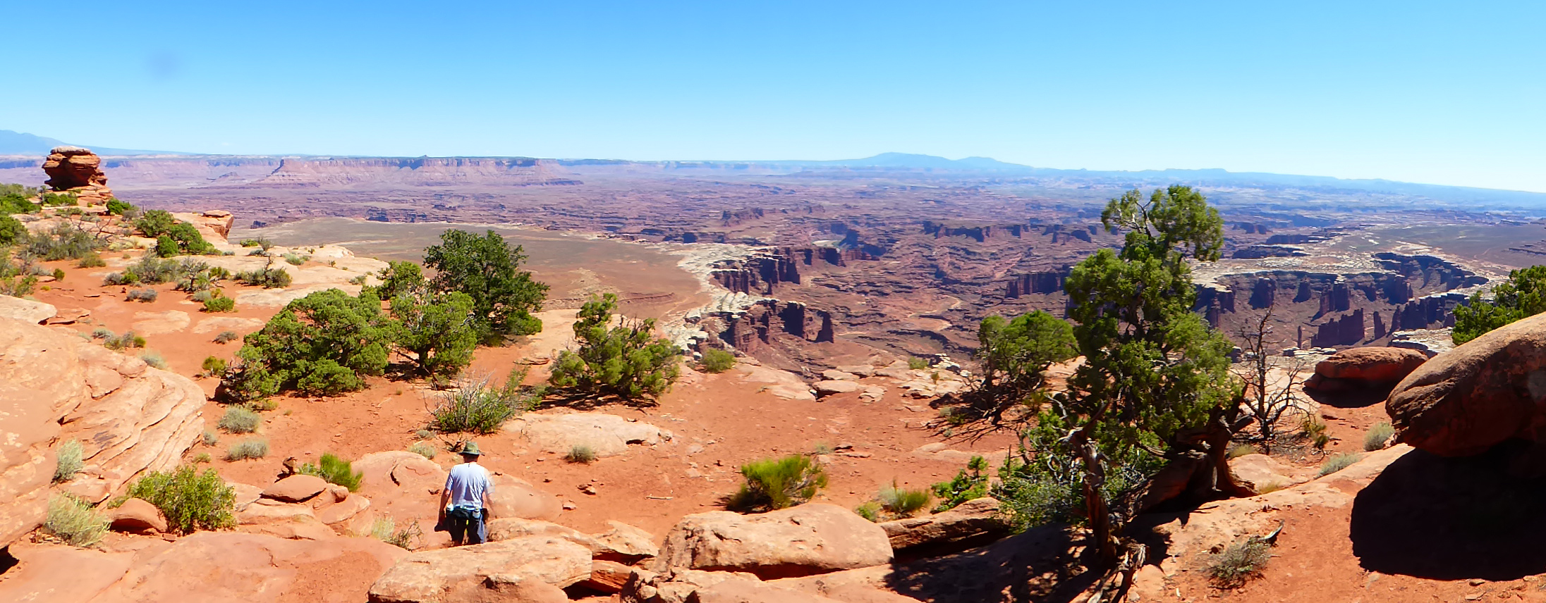
 Canyonlands National Park w/Tom |
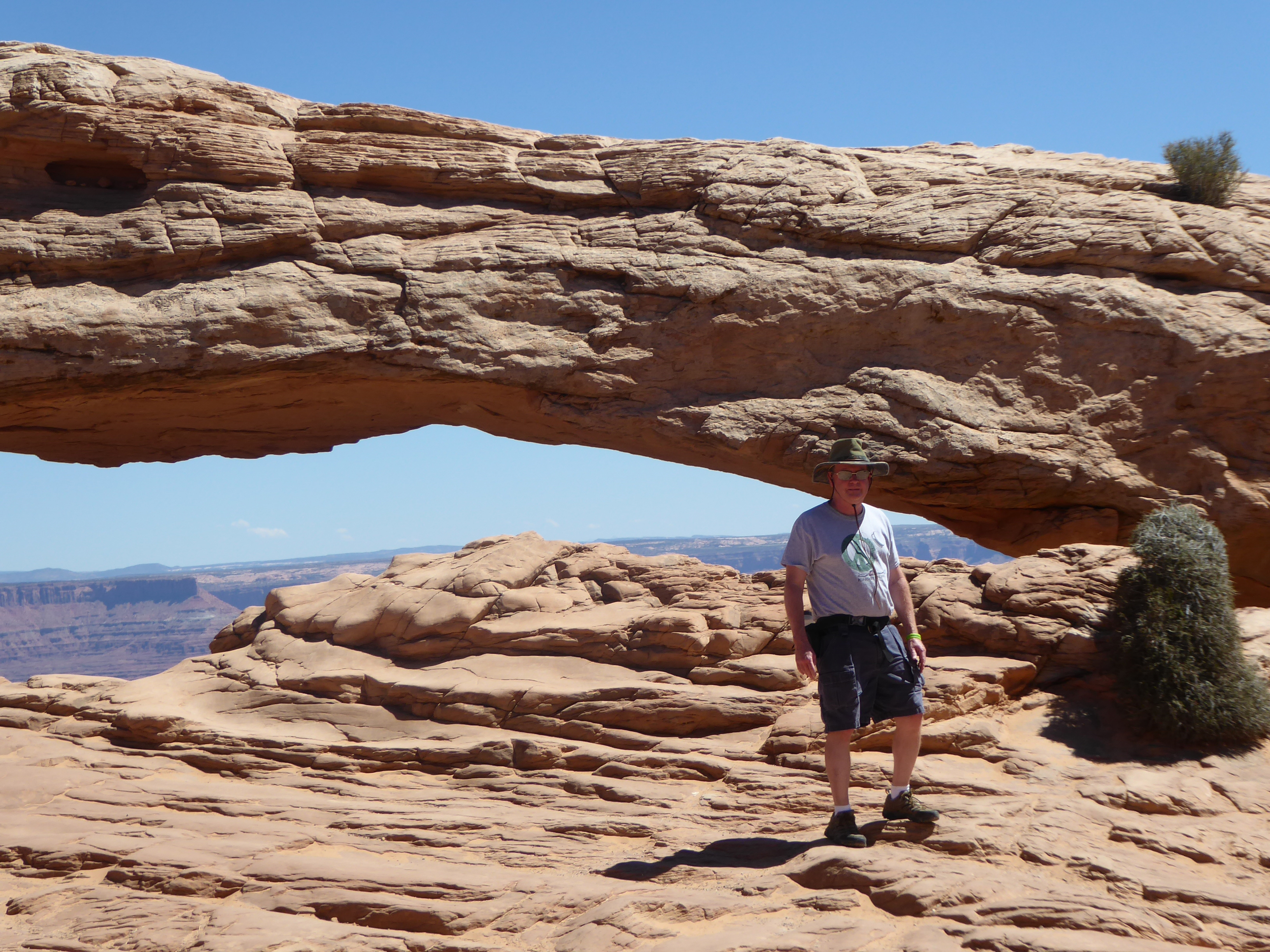 Dave at Mesa Arch |
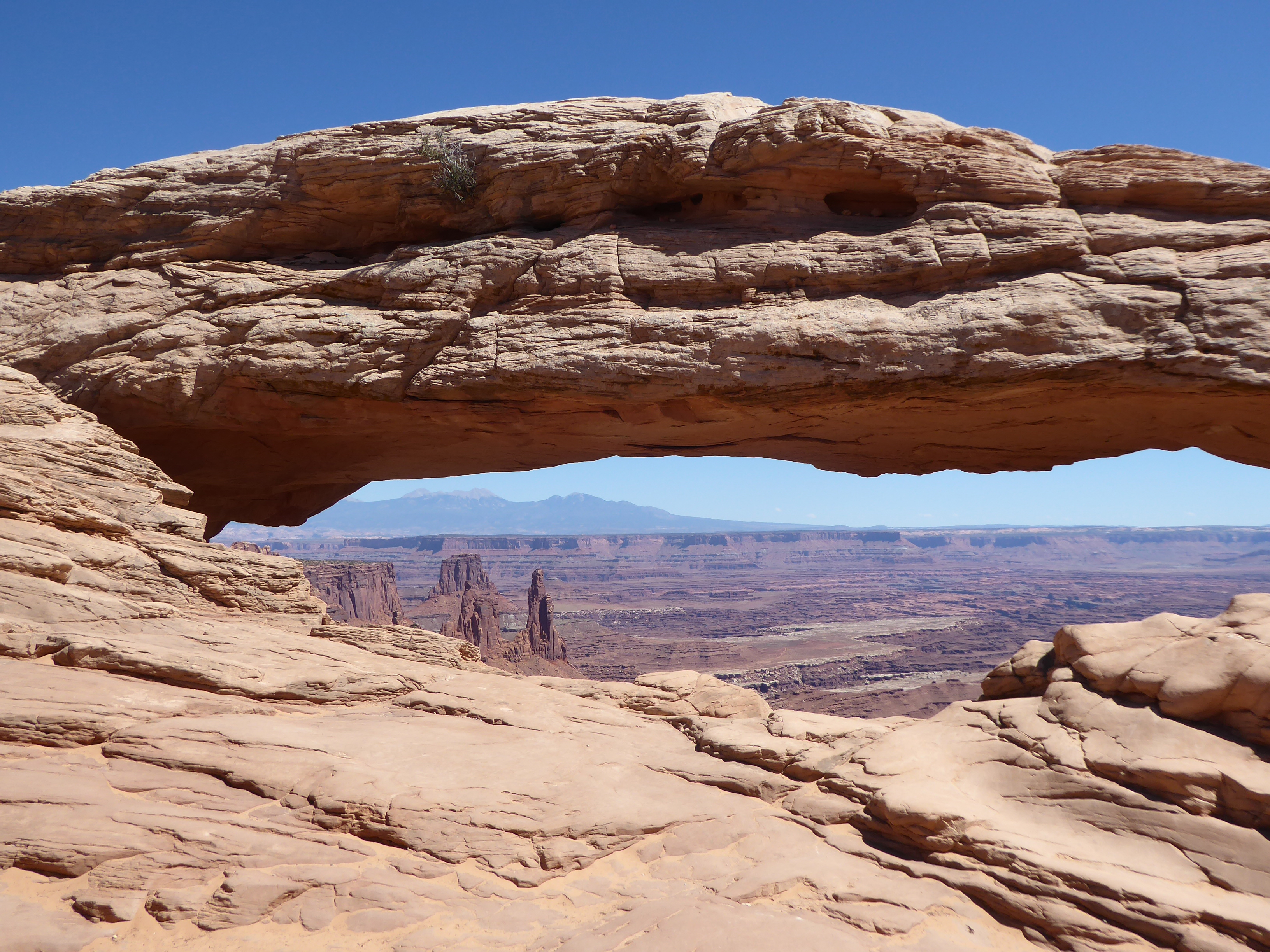 Mesa Arch |
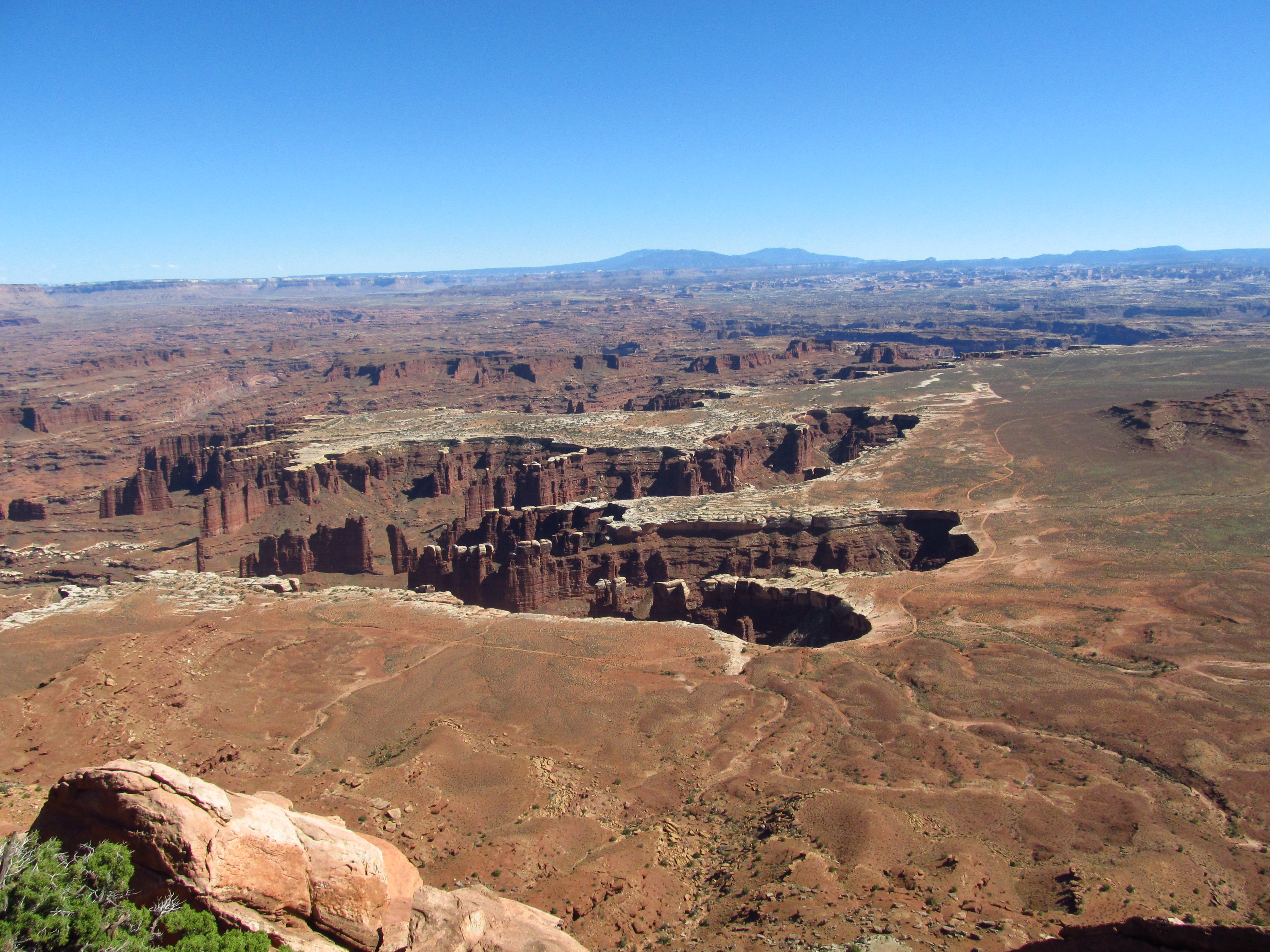 White Rim Overlook
|
 White Rim Overlook
|
 ???? |  Click for video of White Rim Overlook |
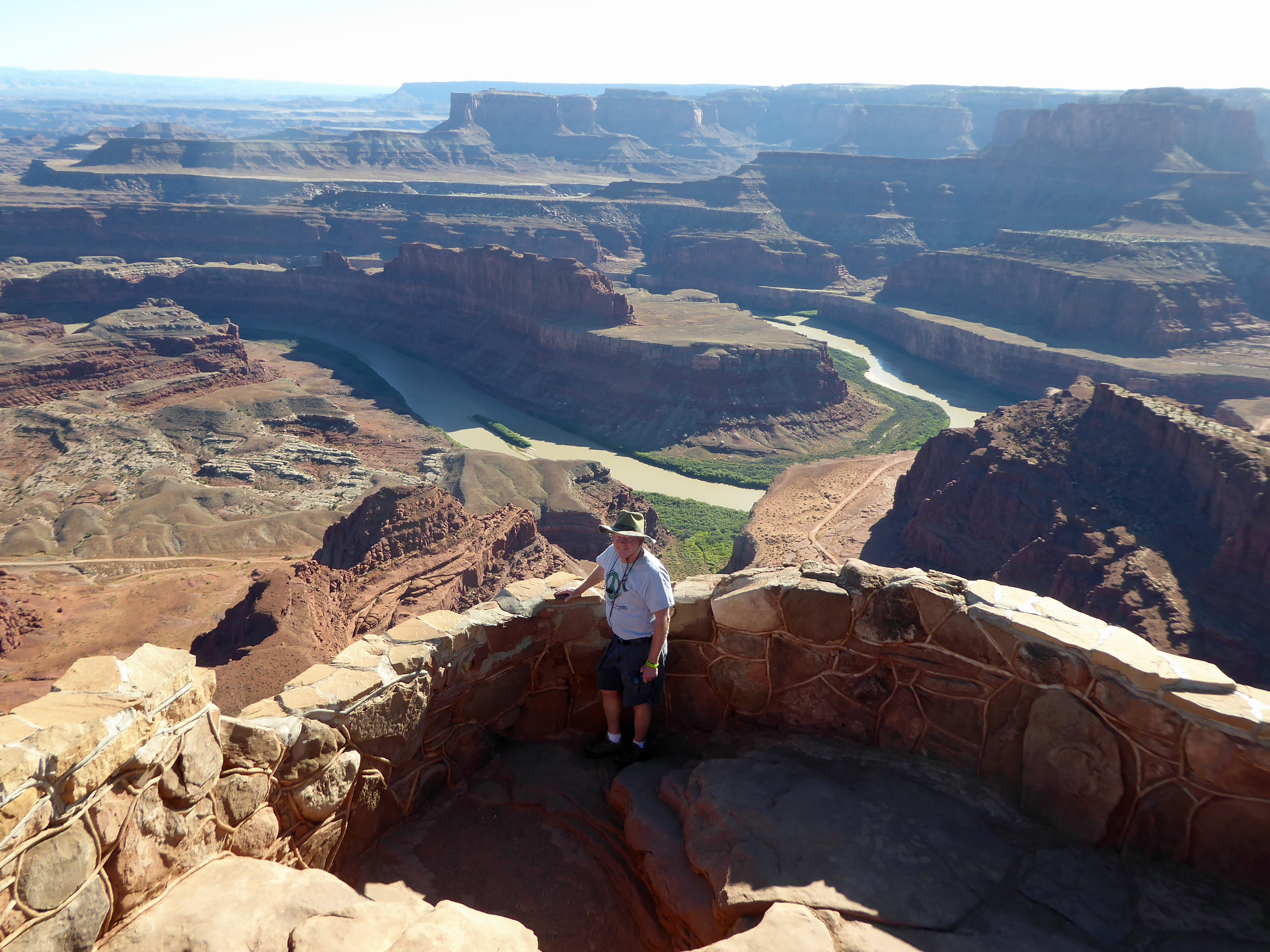
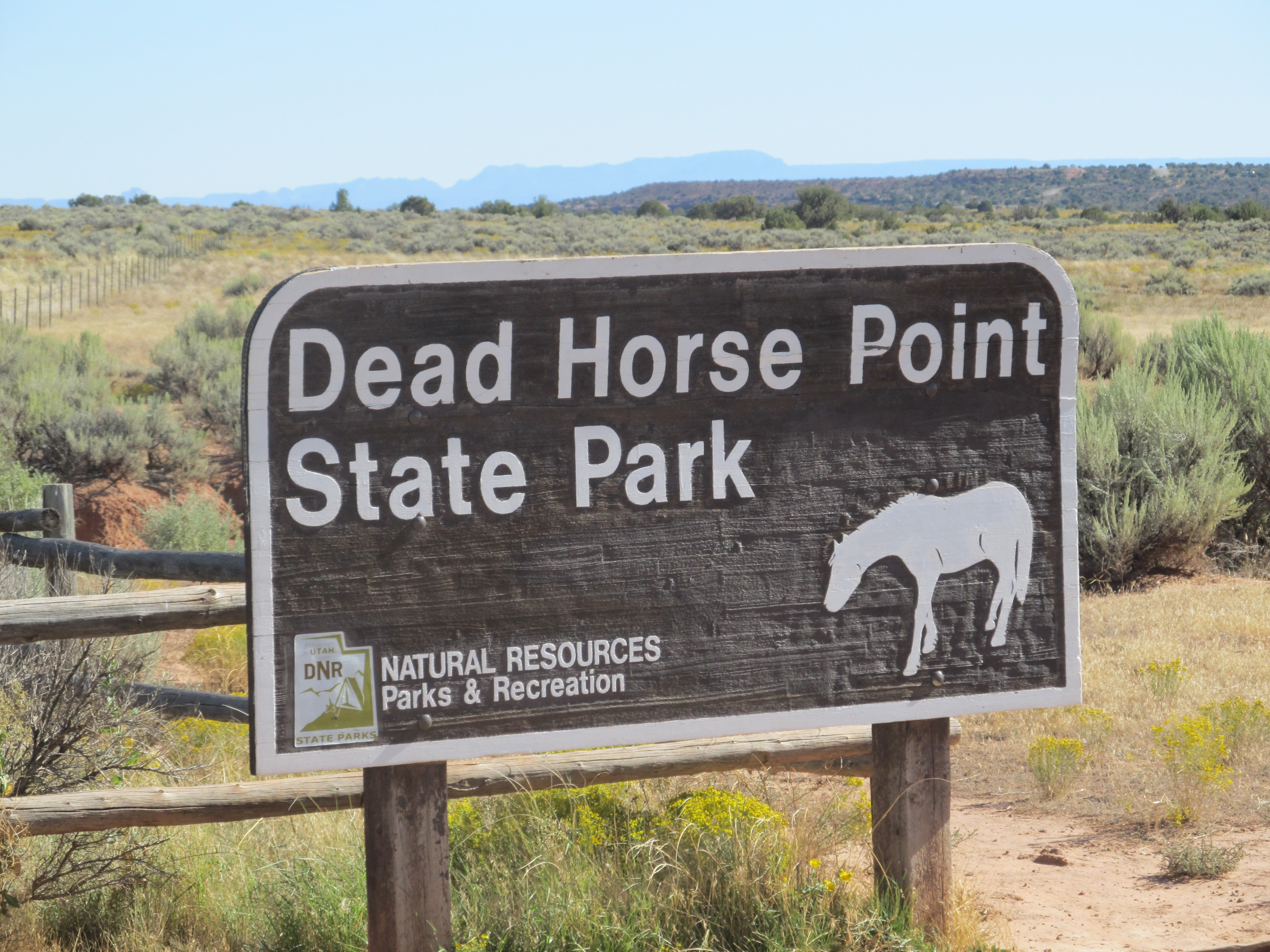 Dead Horse Point State Park |
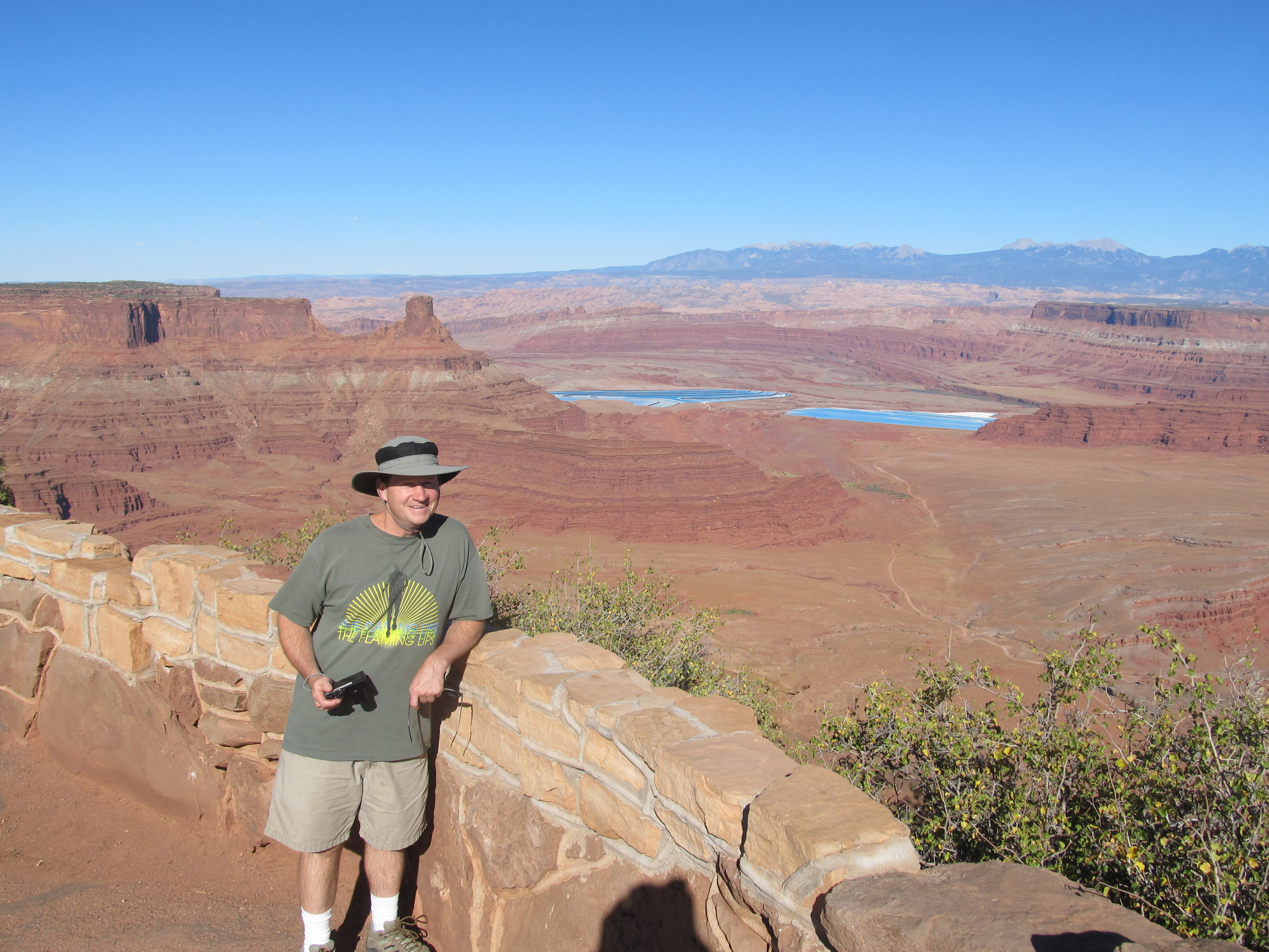
 Dave at Dead Horse Point State Park |
 Tom at Dead Horse Point State Park |
 Dave at Dead Horse Point State Park |
 Click for video of Dead Horse Point |
 ??? |
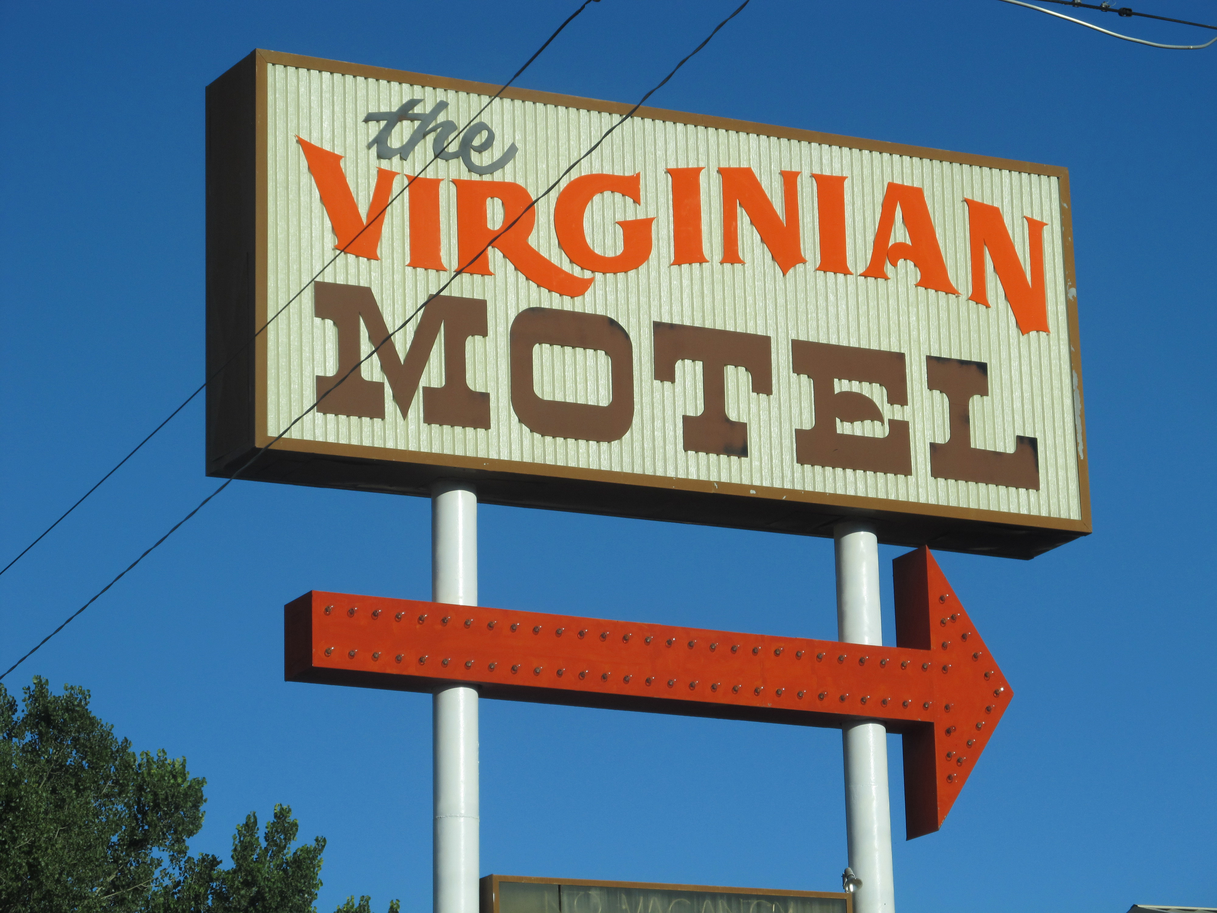 The Virginian Motel |
 Virginian Motel |
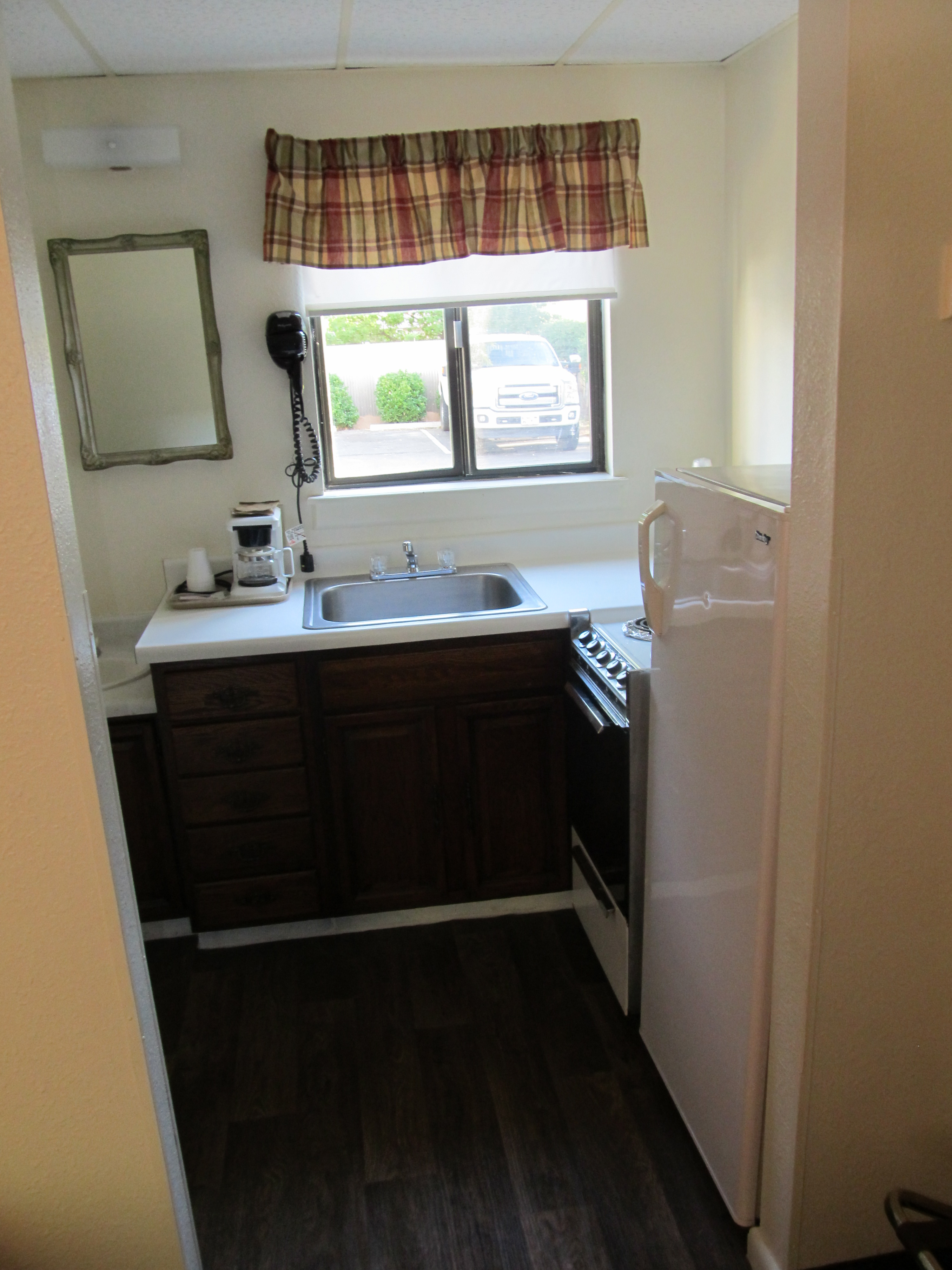 Virginian kitchenette |
 Arches National Park |
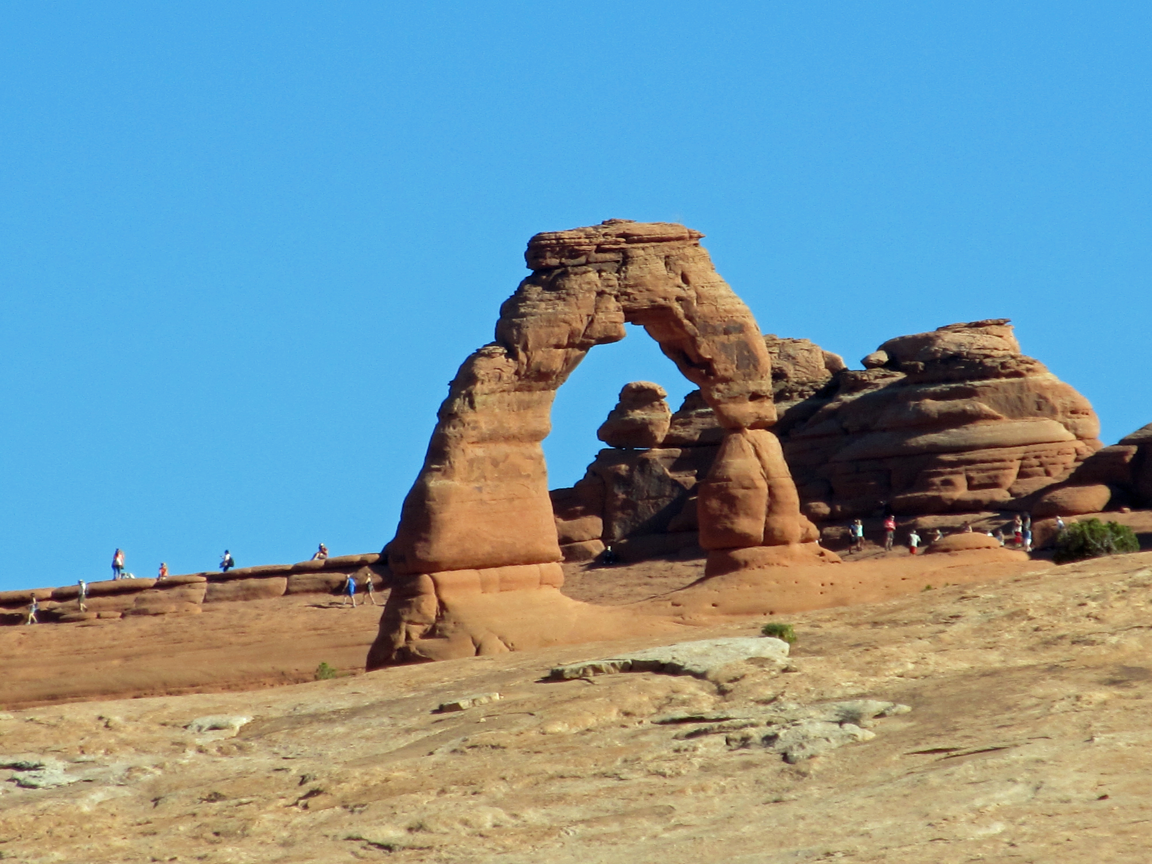 Delicate Arch |
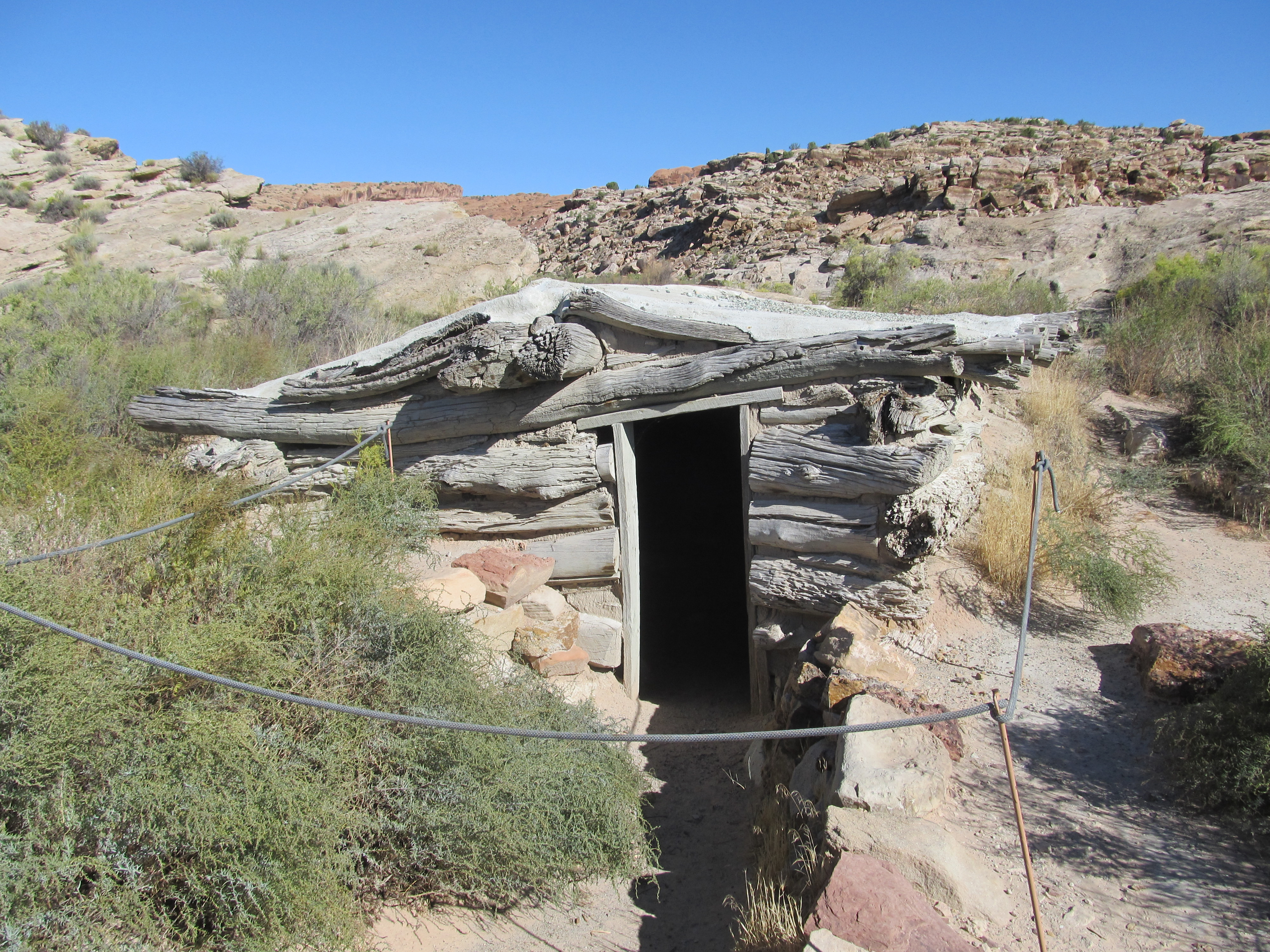 Wolfe Ranch home |
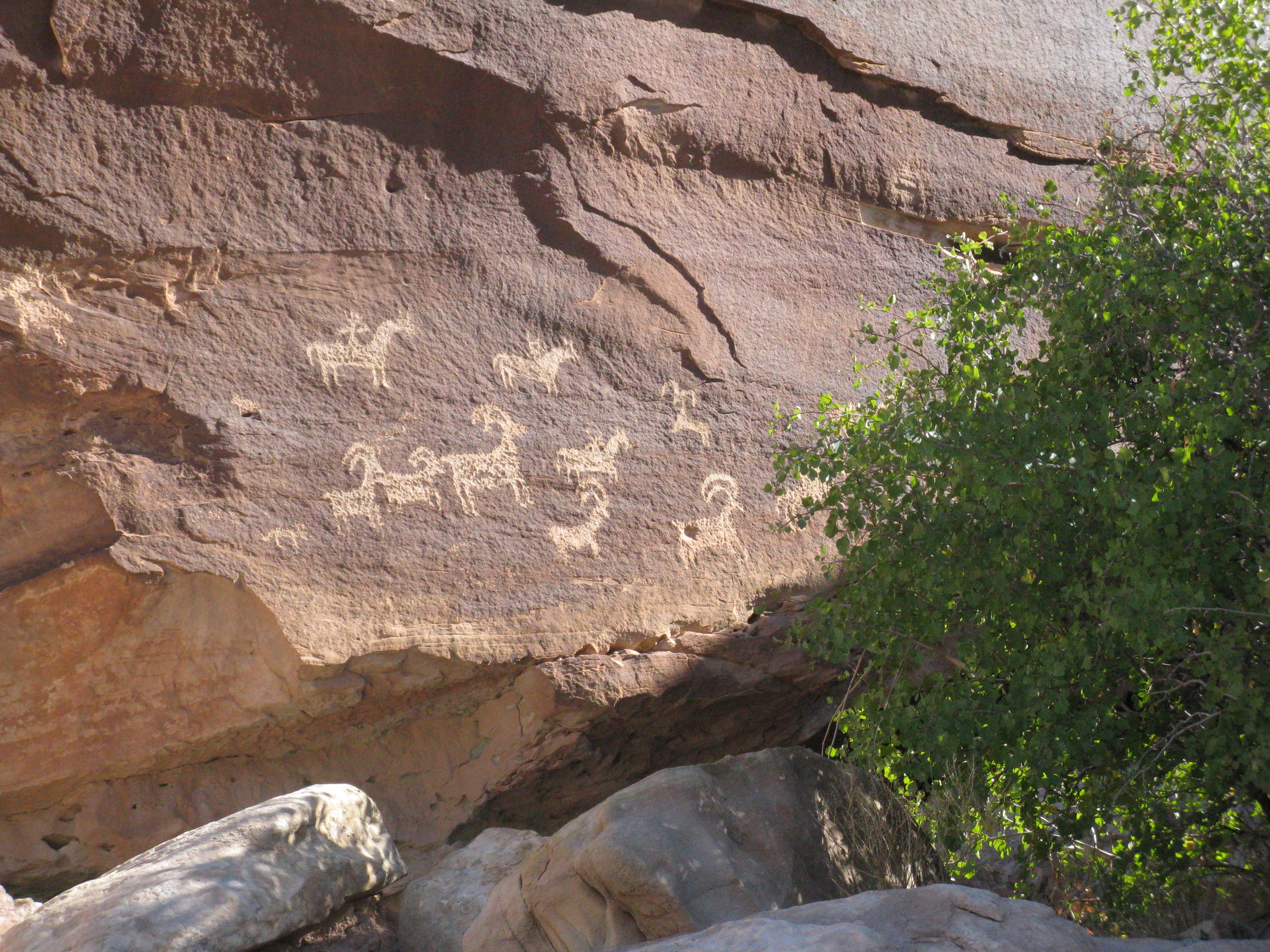 Wolfe Ranch Petroglyphs |
 Arches |
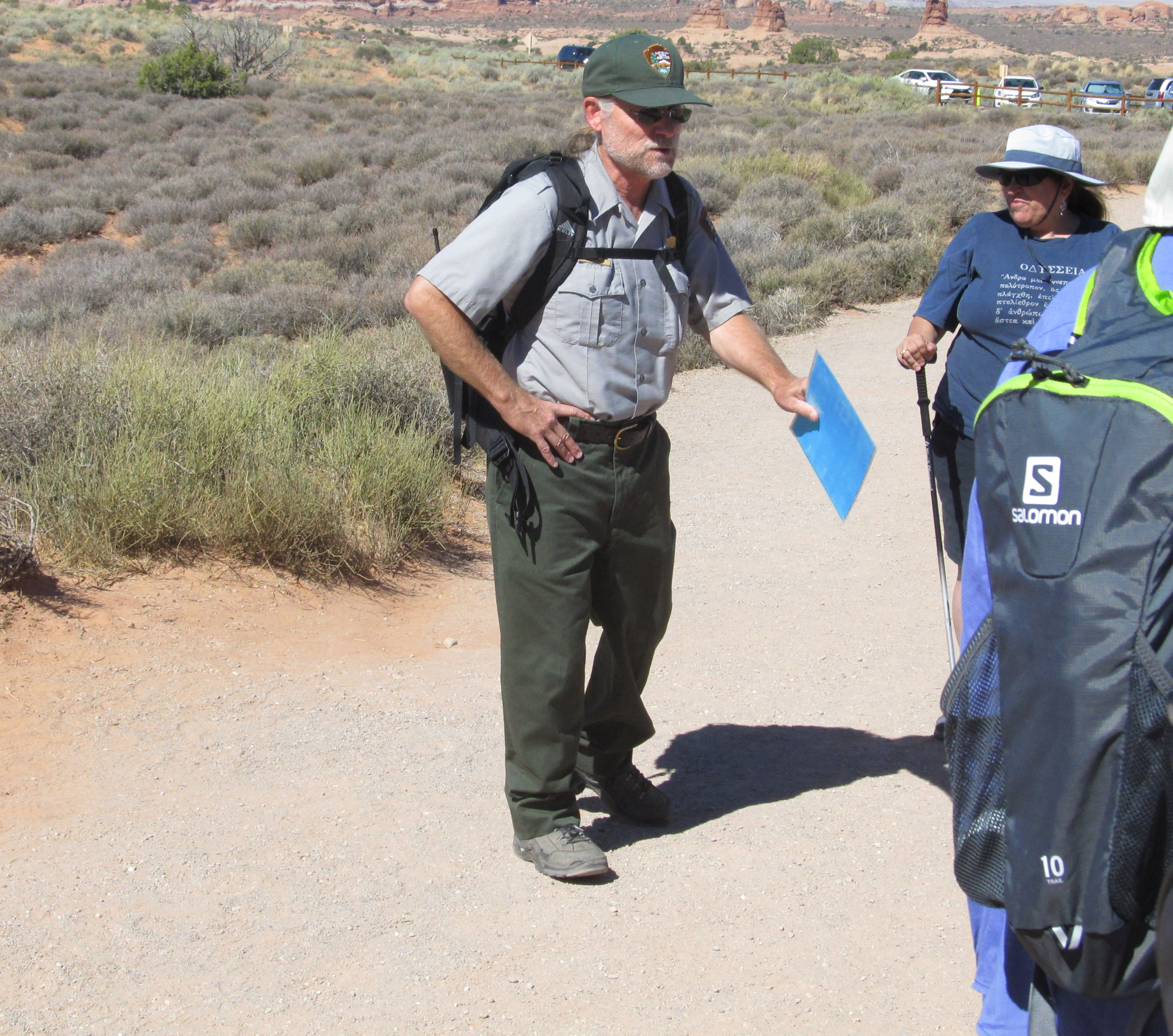 Park Ranger talks about plants |
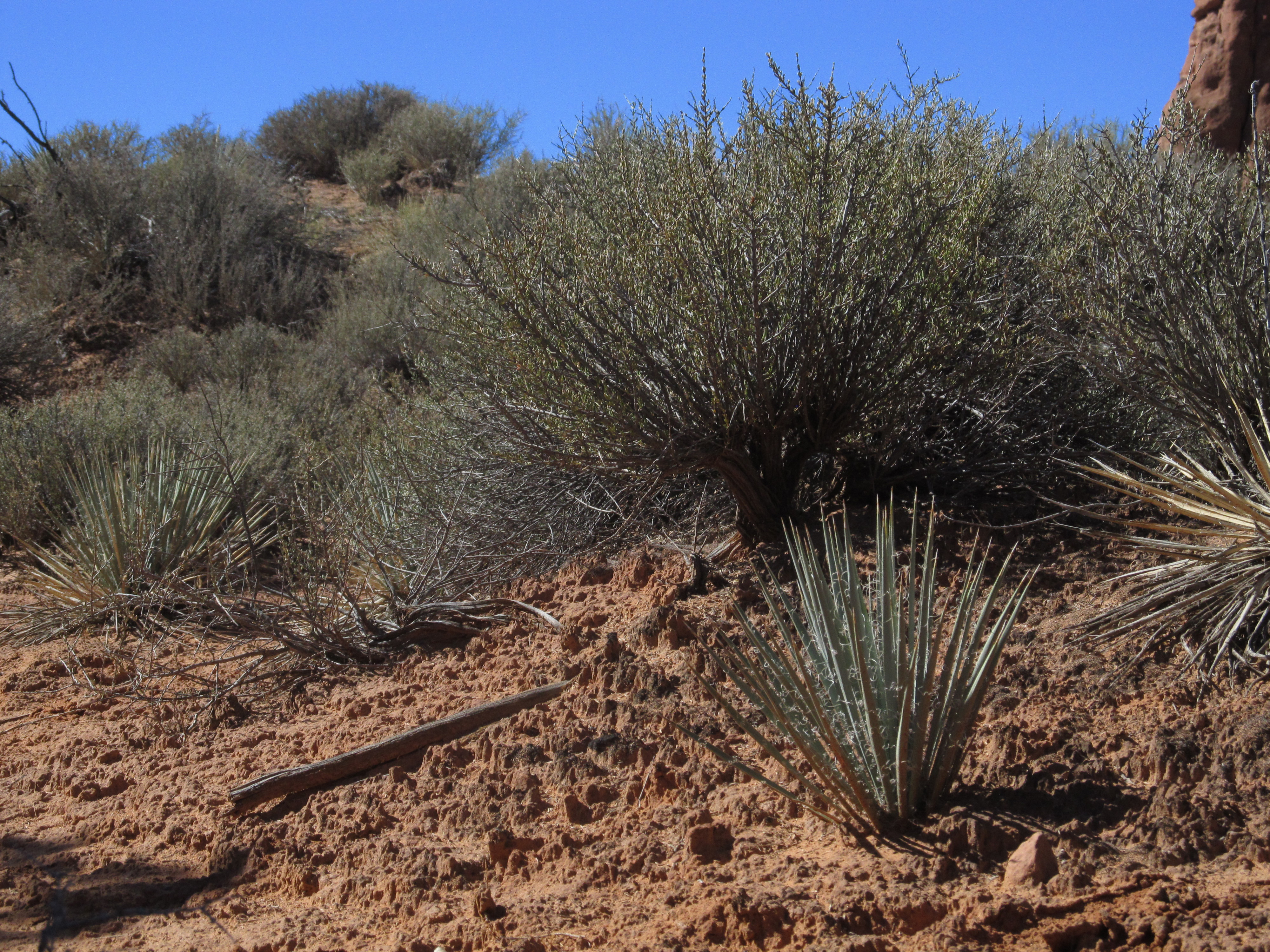 Plants at Arches National Park |
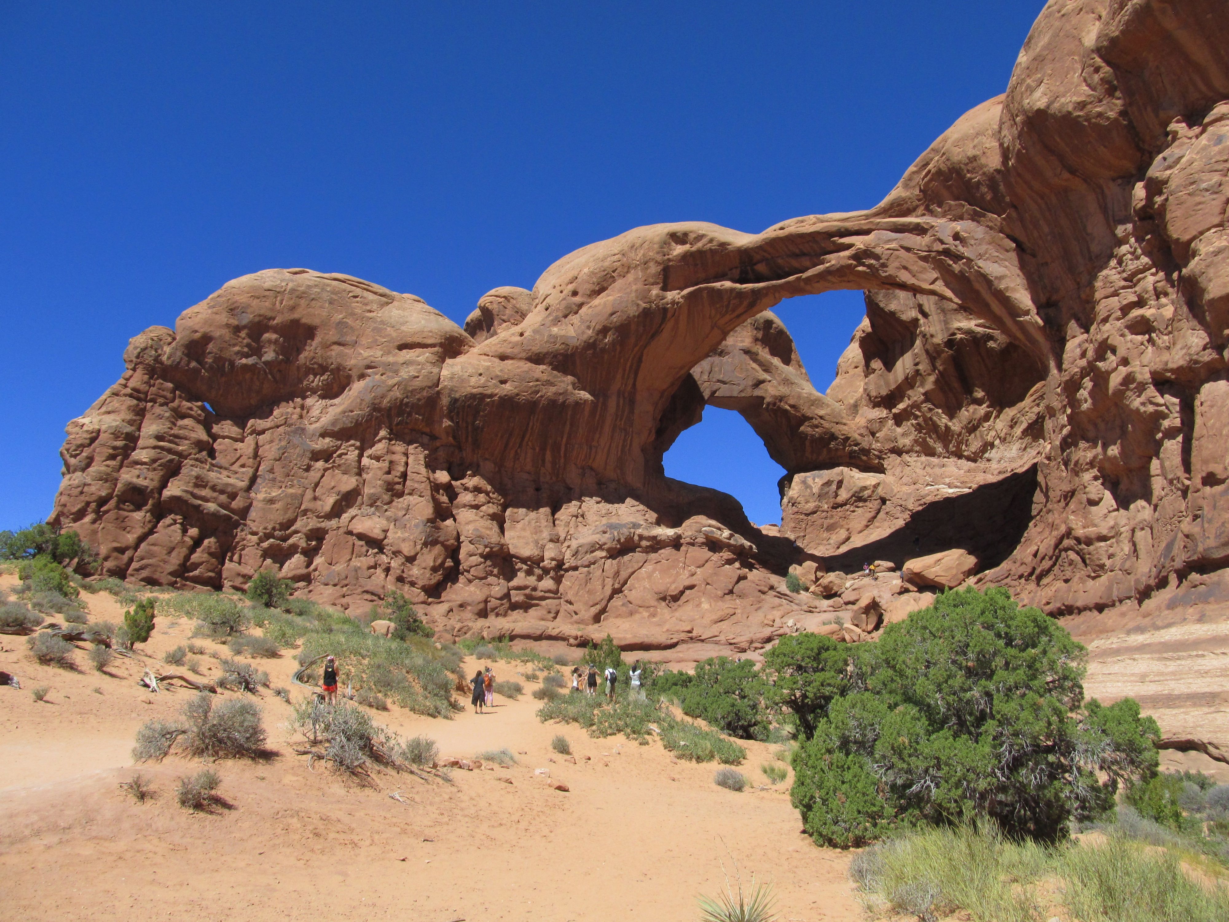
 Tom at the Windows Arches |
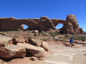
 Double Arch |
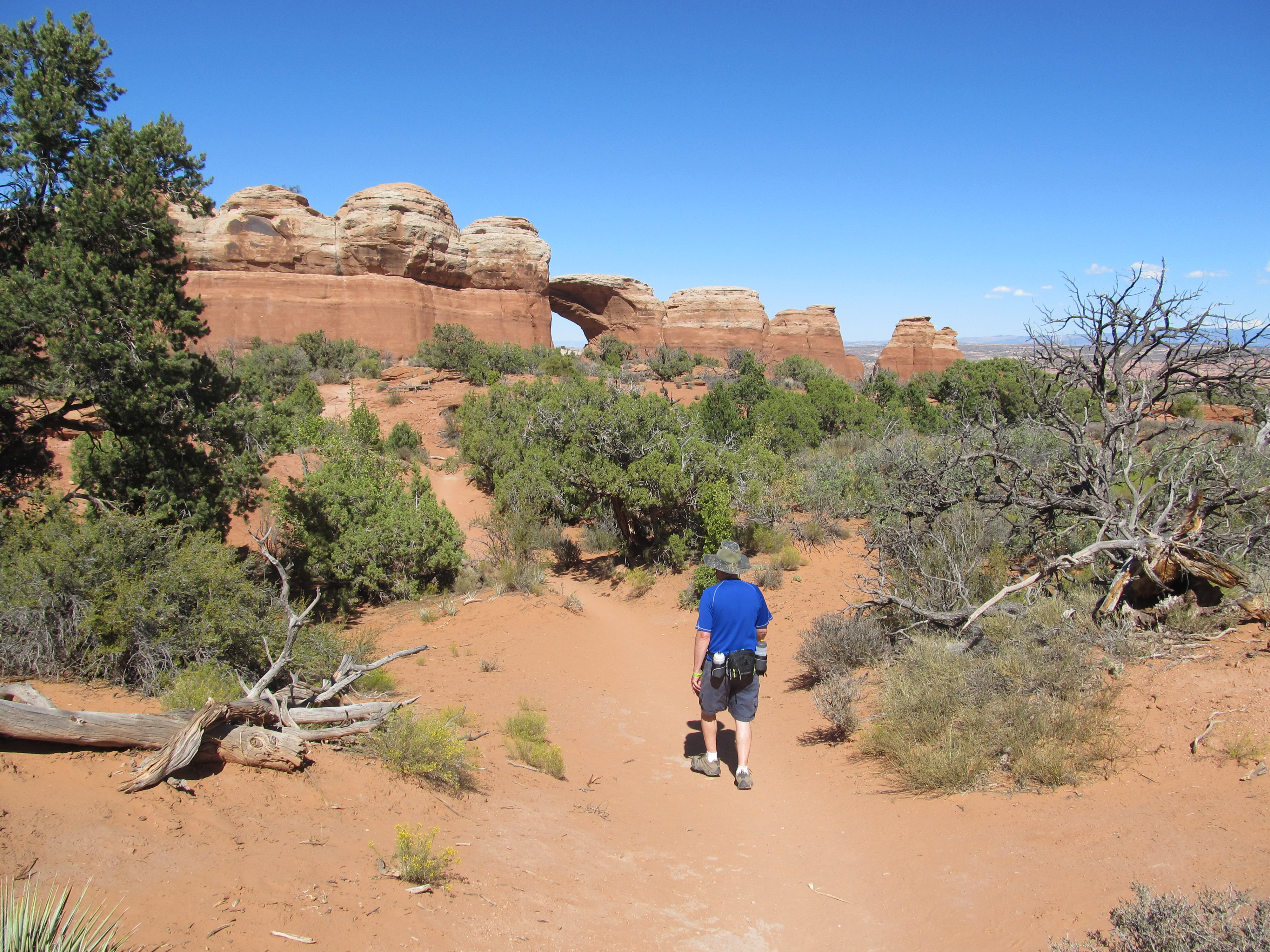 Hike to the Arches |
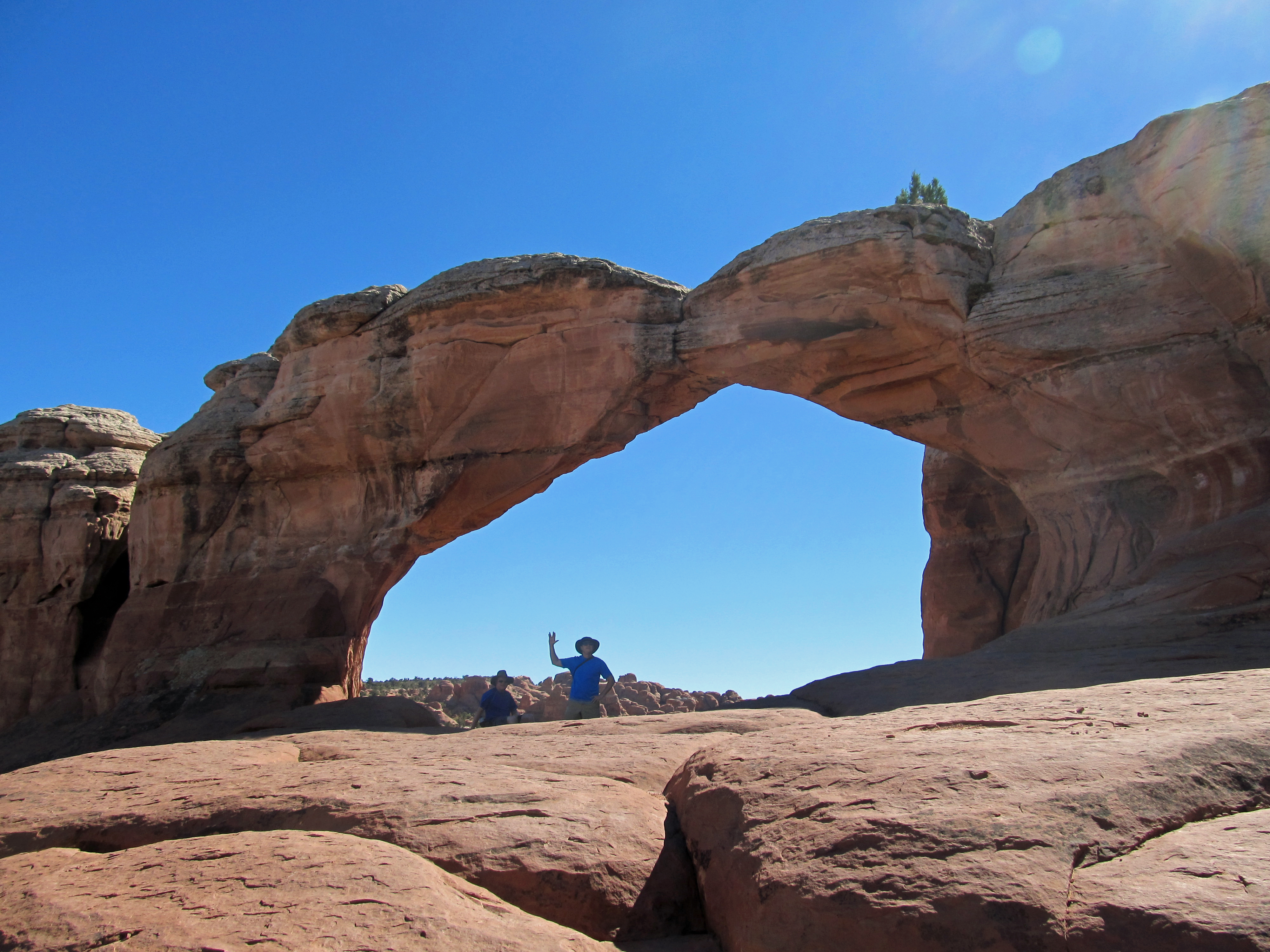 Dave & Tom at Broken Arch |
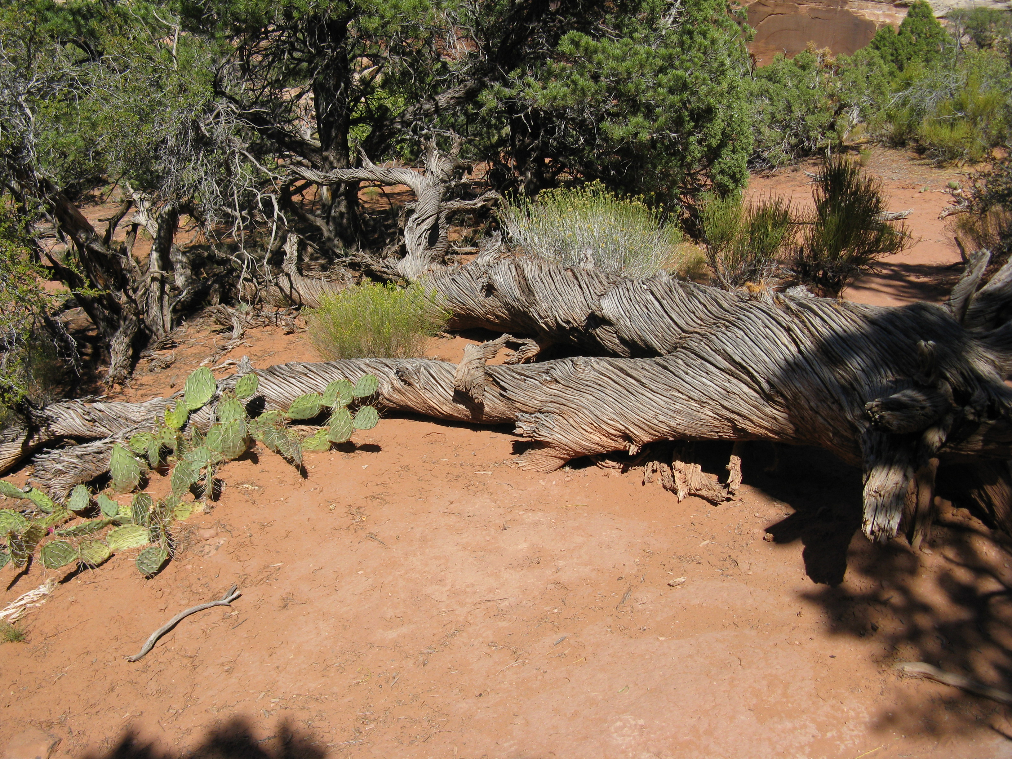 Tree along our hike |
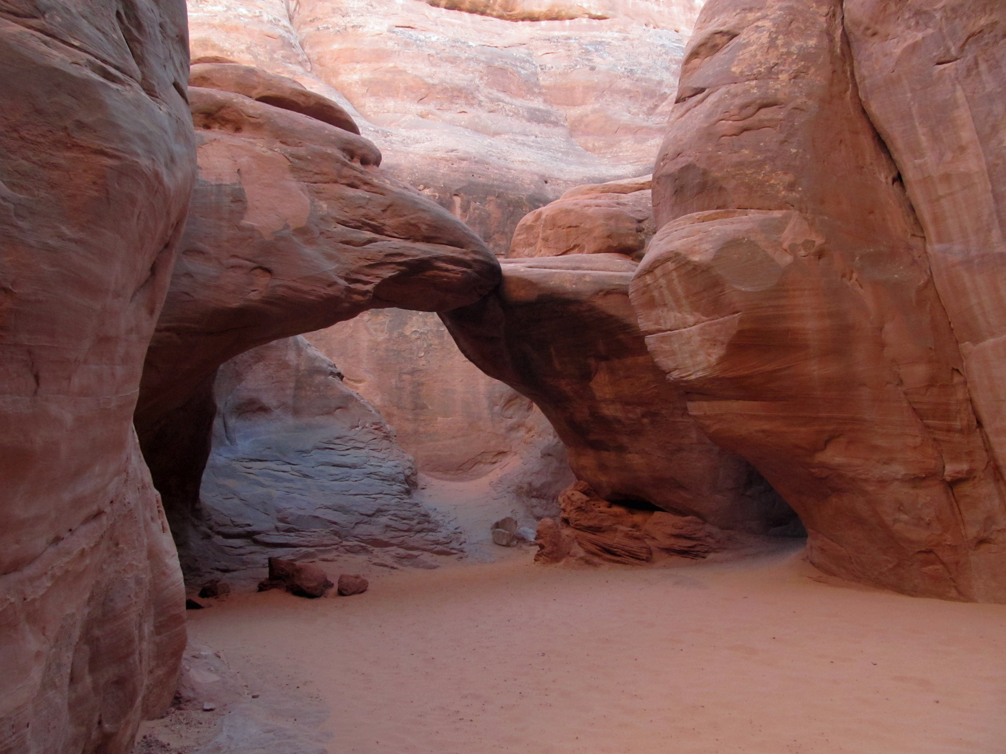 Sand Dune Arch |
 Click for video of Arches drive |
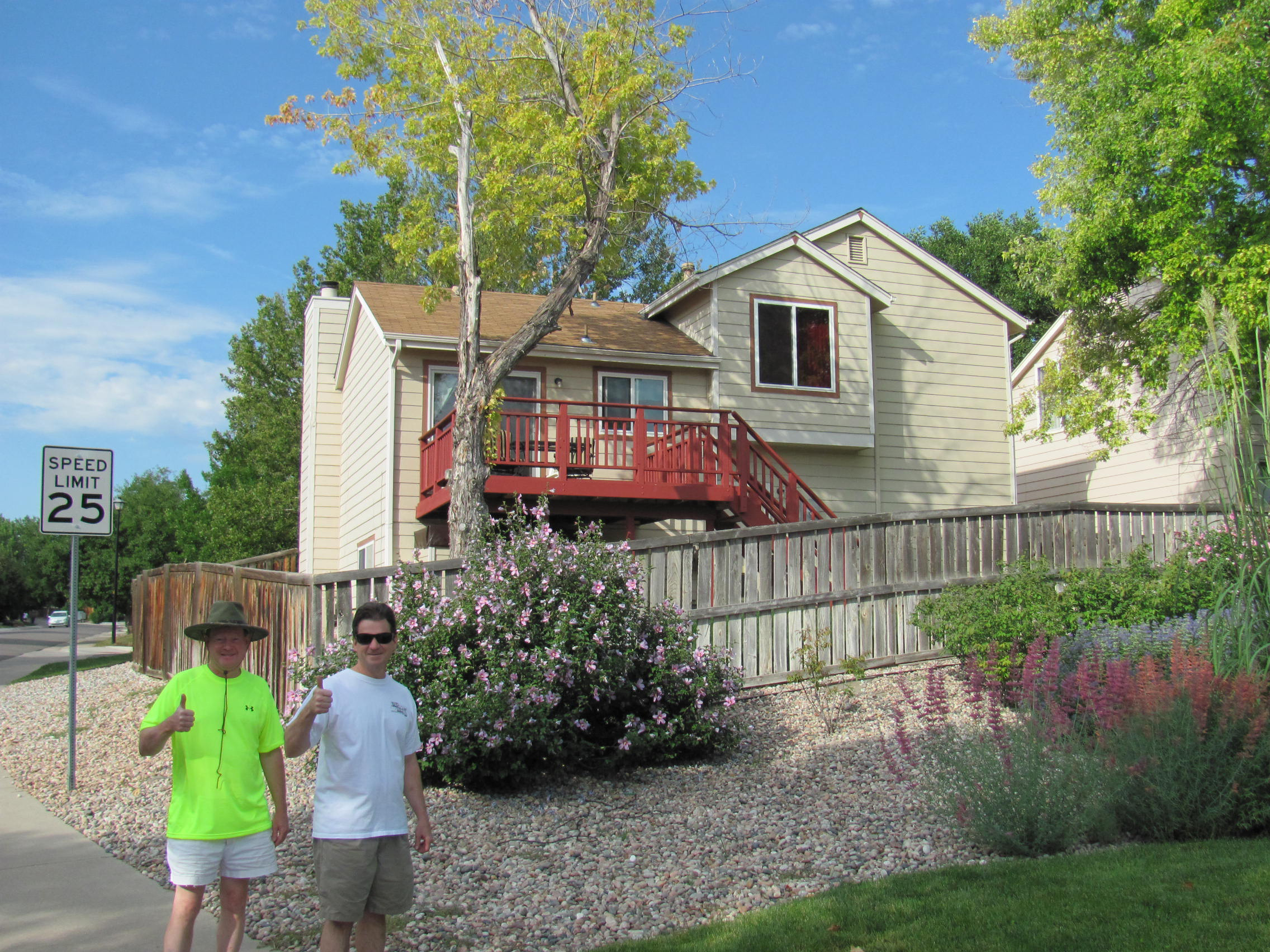 Tom's house in Highlands Ranch |
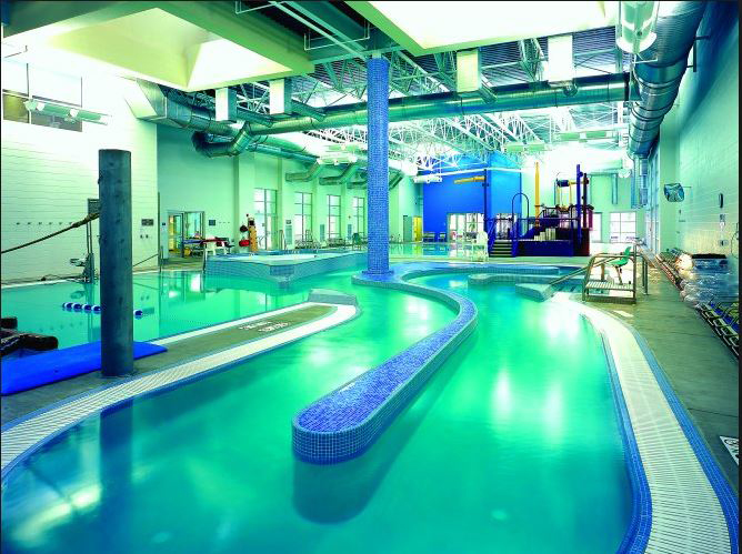 Highlands Ranch Southridge Rec. Center |
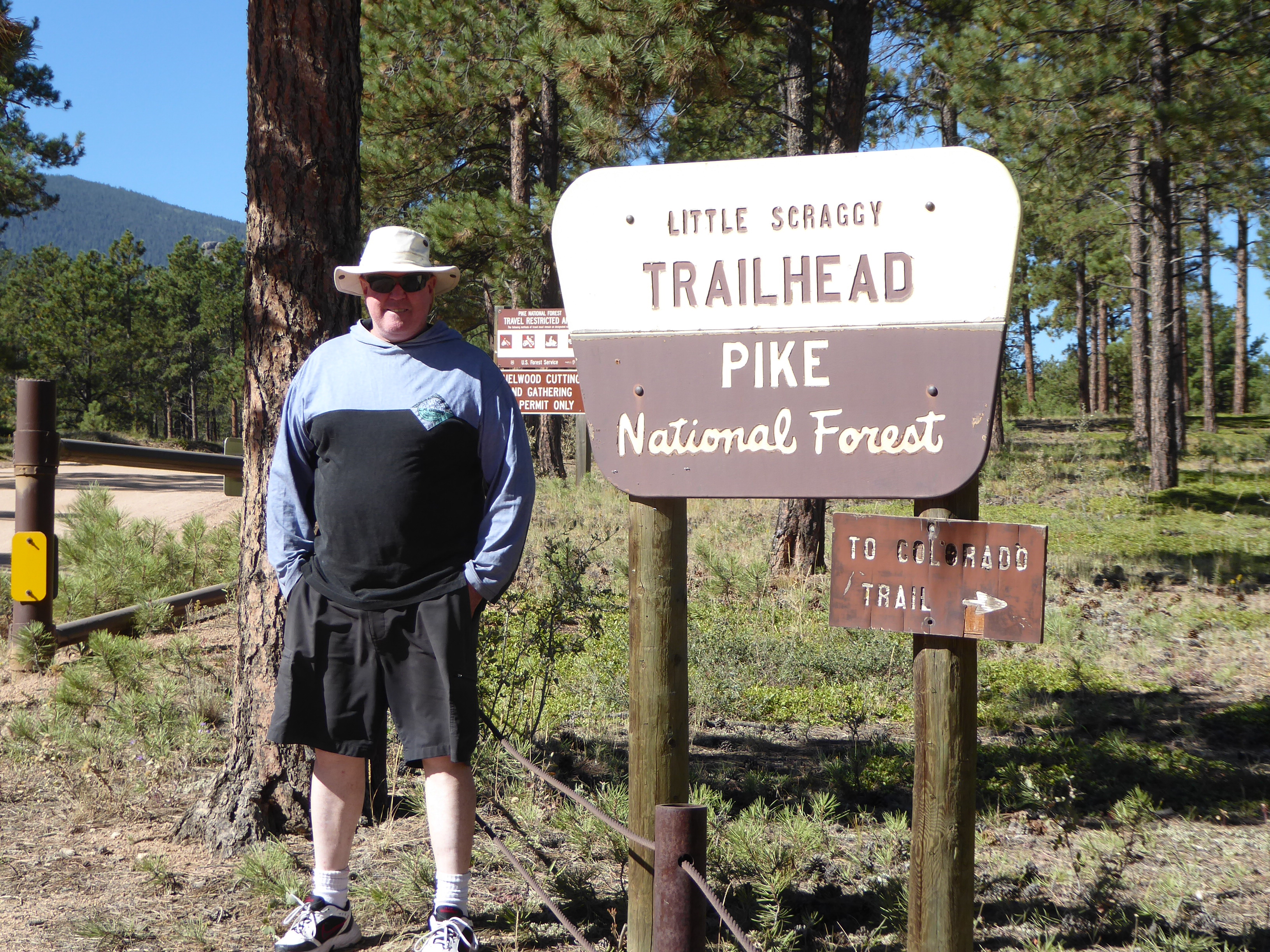 Jim at the Little Scraggy Trailhead |
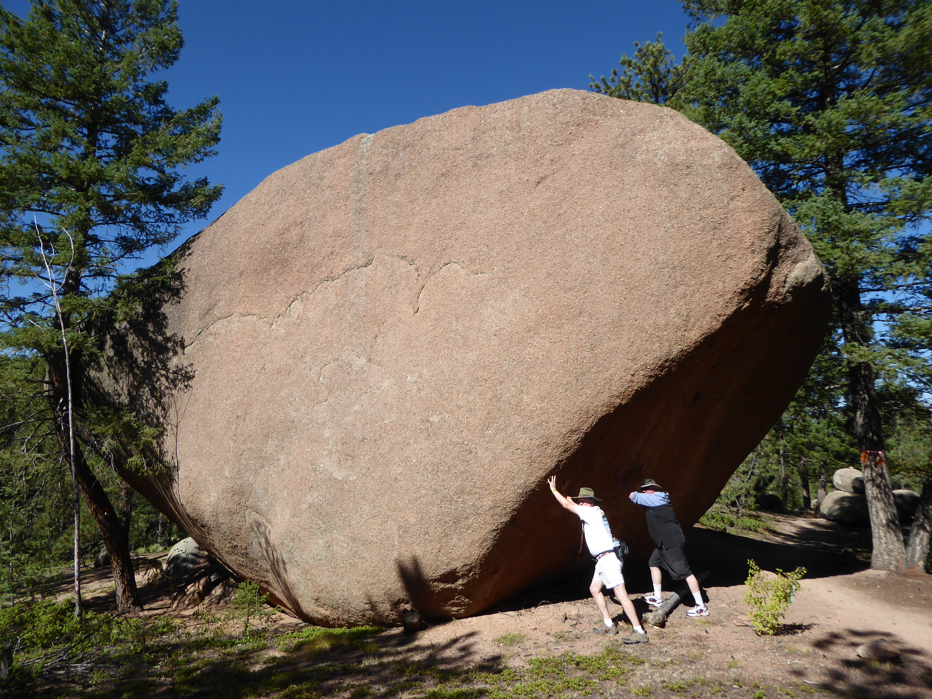 Dave & Jim clearing rocks |
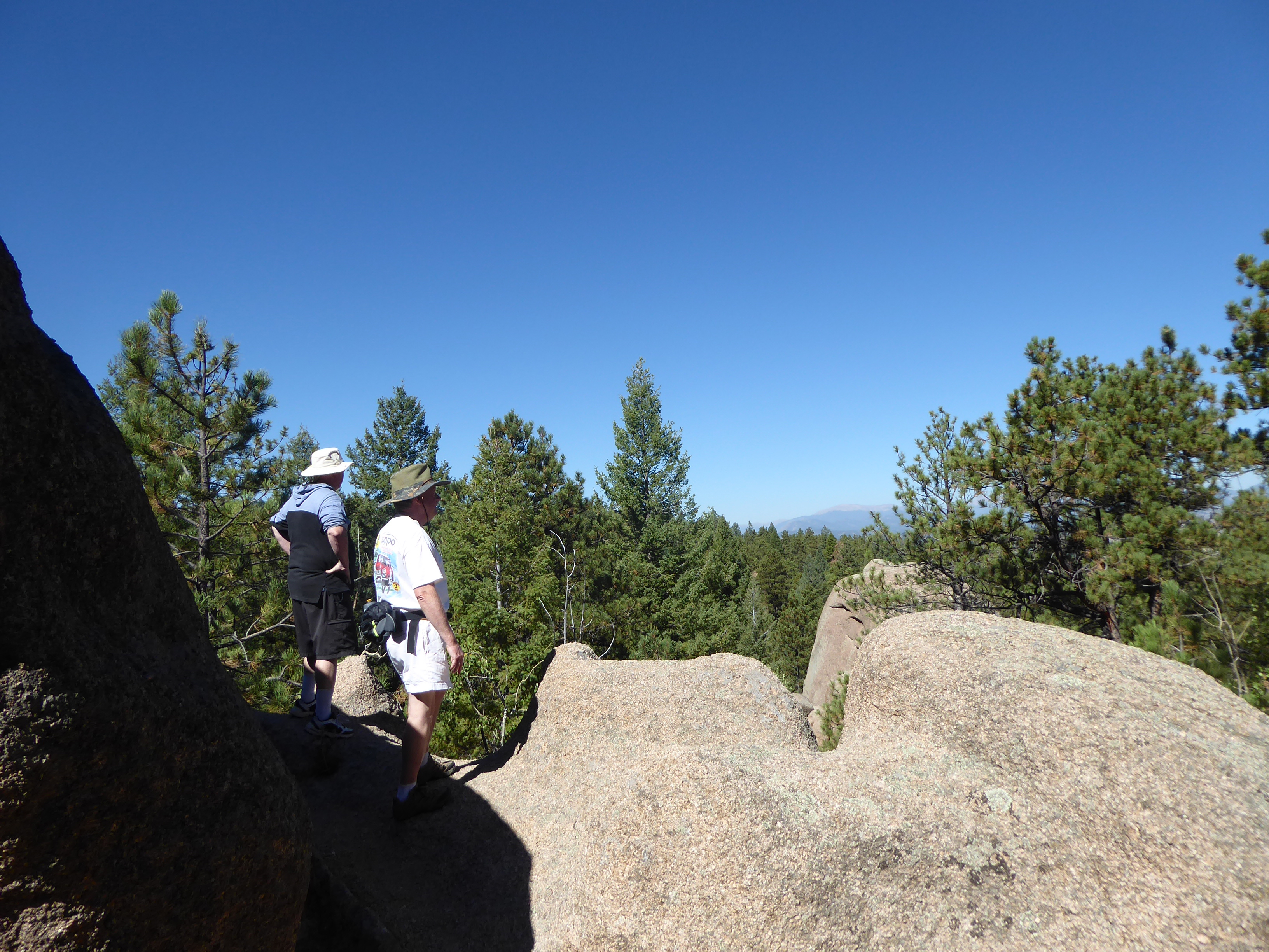 Little Scraggy Trail |
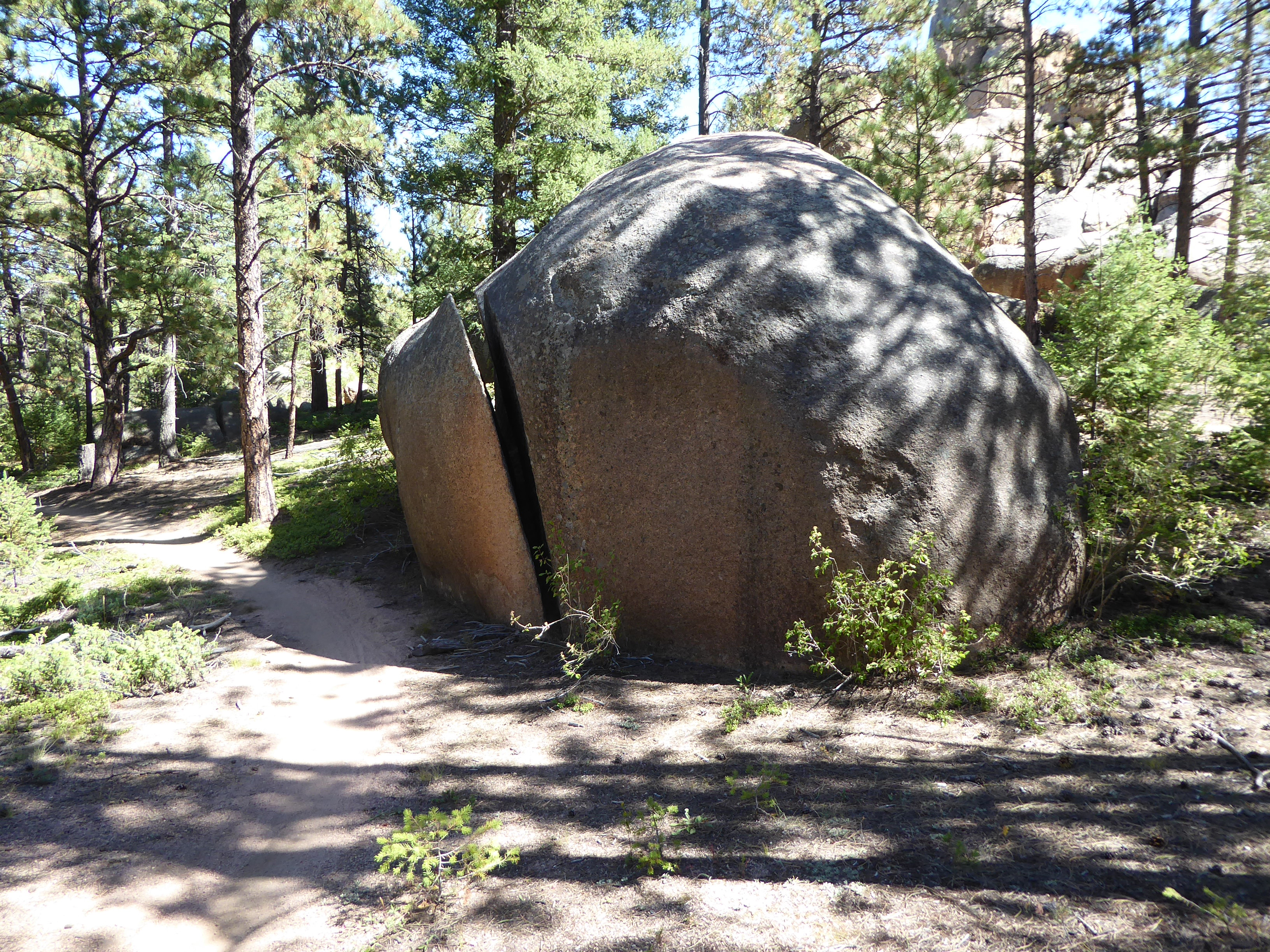 Little Scraggy Trail |
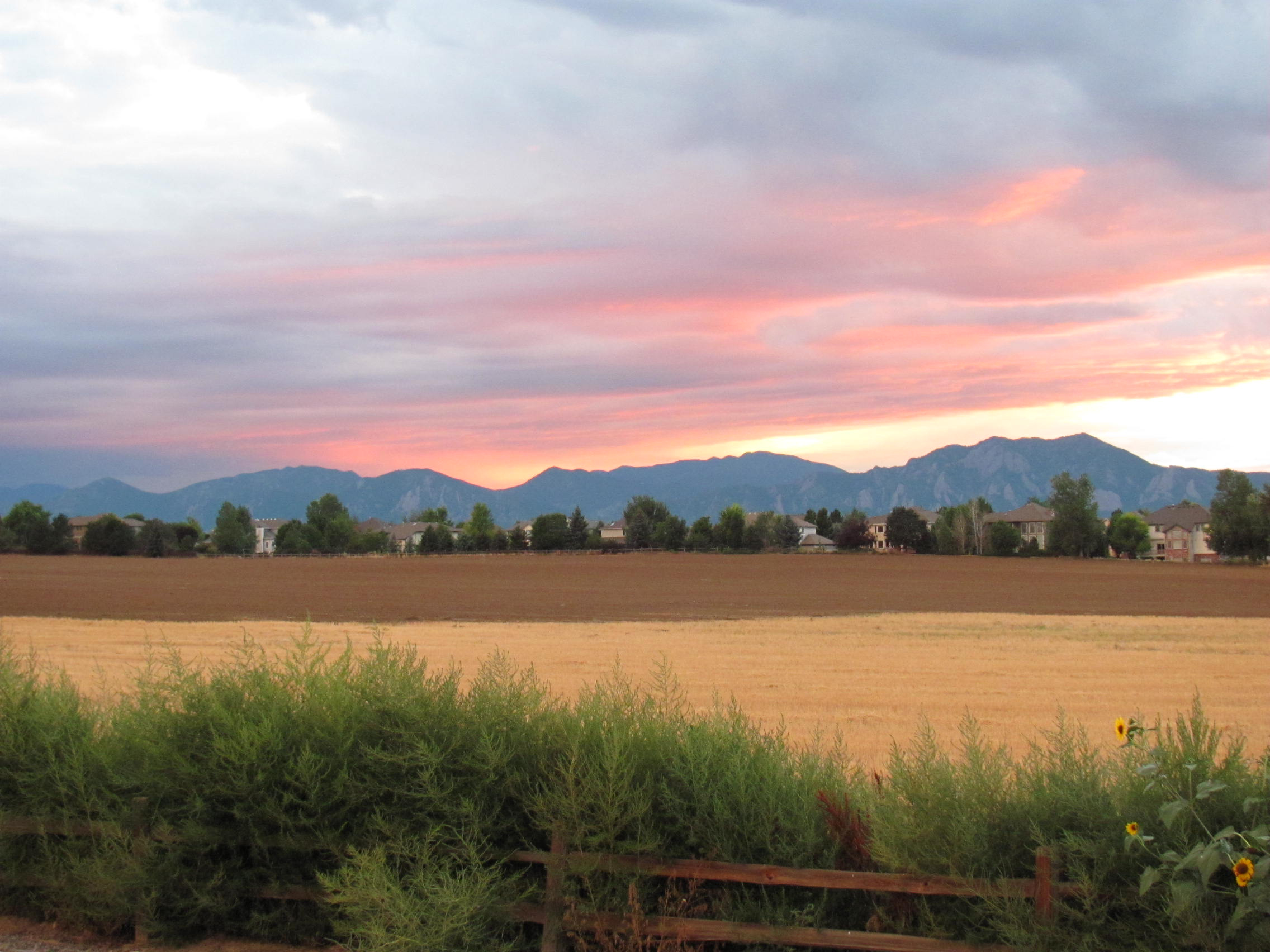 View from Mary D's house |
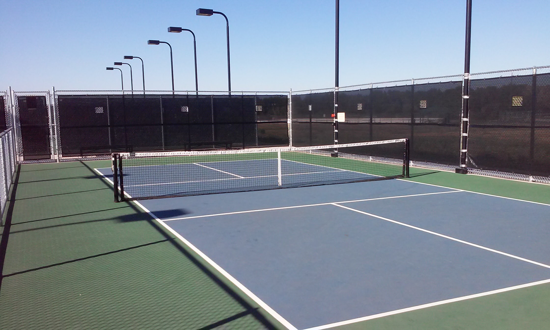 Pickleball courts near Denver |
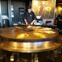 HuHot Mongolian Grille |
 TopGolf in Denver |